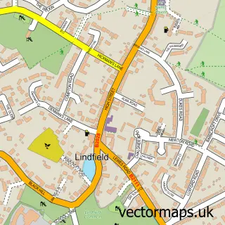
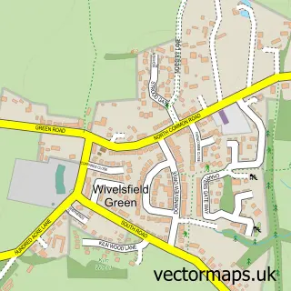
This Haywards Heath street map is a detailed vector street map covering a 750m x 750m area. Select a larger area to create and download your own vector street map of Haywards Heath.
The 750-metre map sample for Haywards Heath covers 283 mapped buildings and approximately 14.0 km of road detail, of which 27 named roads are named. The immediate area includes 1 school, 1 GP surgery, with 5 within 2 miles, 7 pubs and 7 MOT stations within 2 miles. The wider area around Haywards Heath features 4 tourism points of interest and 23 food and drink venues. To create a larger or custom map of Haywards Heath, the map builder lets you define your own coverage area and download editable SVG, PDF and PNG files.
Create a larger editable map of Haywards Heath
Choose any area you need and generate a high-quality vector map instantly. Perfect for print, planning, design, business and personal use.

This Haywards Heath street map in West Sussex is available as downloadable SVG, PDF and PNG map files, or as a printed map for planning, business, display, education, local information and design work. You can also create a larger custom map area using the map selector.
What this Haywards Heath map sample shows
Haywards Heath lies within Haywards Heath Cp parish, part of Haywards Heath Heath ward in the Mid Sussex District local authority area. The postcode geography for this area includes the RH postcode area, the RH16 postcode district and the RH16 1 postcode sector. Residents fall under the Nhs Sussex Integrated Care Board for NHS services.
Local features near Haywards Heath
Within 2 milesAmenities and services in and around Haywards Heath.
Administrative and postcode information for Haywards Heath
The local authority covering Haywards Heath is Mid Sussex District, within the county of West Sussex. The settlement lies within Haywards Heath Heath ward and Haywards Heath Cp civil parish. The RH16 postcode district and RH16 1 postcode sector serve the immediate area. NHS provision in the area is delivered through University Hospitals Sussex Nhs Foundation Trust.
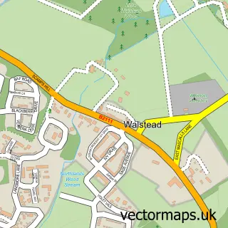
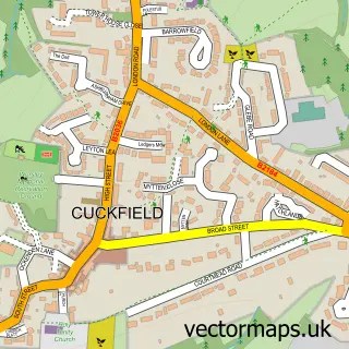
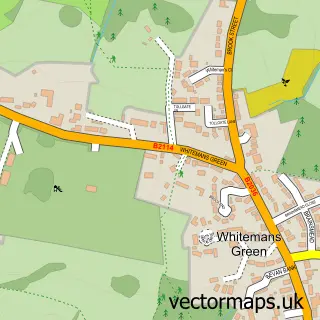
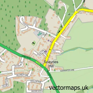
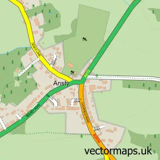
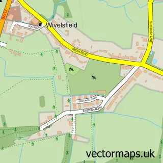
Nearby street map samples around Haywards Heath

More street maps in West Sussex
750 metre map area coverage
Boundary, postcode and point of interest information for the 750m x 750m rectangle centred on this sample map.
Boundaries containing map centre
Constituency: Mid Sussex Co Const
County: West Sussex County
District: Mid Sussex District
Icb: NHS Surrey and Sussex ICB
Parish: Haywards Heath CP
Police Force: sussex
Postcode District: RH16
Postcode Sector: RH16 3
Ward: Haywards Heath Bentswood & Heath Ward
Nearby boundaries intersecting sample
Postcode Sector: RH16 1, RH16 4
Ward: Haywards Heath Ashenground Ward, Haywards Heath Lucastes & Bolnore Ward
Postcode coverage
POI category counts
Real Estate Agent: 16
Financial Service: 10
Hair Salon: 10
Beauty Salon: 8
Bank Credit Union: 7
Barber: 7
Cafe: 7
Physical Therapy: 7
Pizza Restaurant: 7
Pub: 7
Sample points of interest
- Bridgewater Accountants Limited
- Boom Life
- Acupuncture Origins
- Mid Sussex Acupuncture
- Neijing Acupuncture
- The Jing Well
- Affinity Solutions
- CHASE Digital
- Sampling Innovations
- TKO Marketing Consultants
- X a Digital
- JAS Massage
Create a larger editable map of Haywards Heath
This sample shows only a 750 metre area. To create a larger map of Haywards Heath, use our map builder to choose your own coverage area, add titles and download editable SVG, PDF and PNG files.
Create a custom map of Haywards Heath