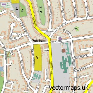
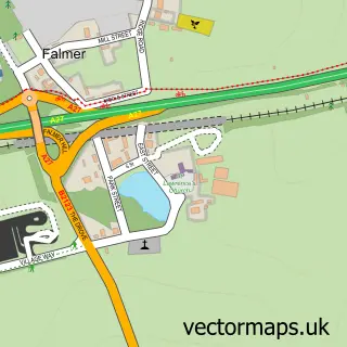
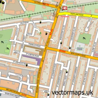
This Hove street map is a detailed vector street map covering a 750m x 750m area. Select a larger area to create and download your own vector street map of Hove.
The 750-metre map sample for Hove covers 398 mapped buildings and approximately 24.0 km of road detail, of which 51 named roads are named. The immediate area includes 1 school, 1 GP surgery, with 21 within 2 miles, 12 pubs and 1 MOT station, with 33 within 2 miles. The wider area around Hove features 2 tourism points of interest, 62 food and drink venues and 5 hotels. To create a larger or custom map of Hove, the map builder lets you define your own coverage area and download editable SVG, PDF and PNG files.
Create a larger editable map of Hove
Choose any area you need and generate a high-quality vector map instantly. Perfect for print, planning, design, business and personal use.

This Hove street map in East Sussex is available as downloadable SVG, PDF and PNG map files, or as a printed map for planning, business, display, education, local information and design work. You can also create a larger custom map area using the map selector.
What this Hove map sample shows
Hove lies within The City Of Brighton And Hove (B) parish, part of Hove Park ward in the The City Of Brighton And Hove (B) local authority area. The postcode geography for this area includes the BN postcode area, the BN3 postcode district and the BN3 6 postcode sector. Residents fall under the Nhs Sussex Integrated Care Board for NHS services.
Local features near Hove
Within 2 milesAmenities and services in and around Hove.
Administrative and postcode information for Hove
Hove lies within The City Of Brighton And Hove (B) parish, part of Hove Park ward in the The City Of Brighton And Hove (B) local authority area. The postcode geography for this area includes the BN postcode area, the BN3 postcode district and the BN3 6 postcode sector. Residents fall under the Nhs Sussex Integrated Care Board for NHS services.
Nearby street map samples around Hove

More street maps in East Sussex
750 metre map area coverage
Boundary, postcode and point of interest information for the 750m x 750m rectangle centred on this sample map.
Boundaries containing map centre
Constituency: Hove and Portslade Boro Const
District: The City of Brighton and Hove (B)
Icb: NHS Surrey and Sussex ICB
Police Force: sussex
Postcode District: BN3
Postcode Sector: BN3 2
Ward: Central Hove Ward
Nearby boundaries intersecting sample
Postcode Sector: BN3 3, BN3 4, BN3 5
Ward: Goldsmid Ward, Westbourne & Poets' Corner Ward
Postcode coverage
POI category counts
Professional Services: 32
Hair Salon: 24
Restaurant: 21
Real Estate Agent: 20
Cafe: 16
Beauty Salon: 15
Charity Organization: 14
Property Management: 14
Coffee Shop: 13
Pub: 12
Sample points of interest
- Hove Manor
- Anka Accountancy Ltd
- Brennan Herriott & Co Accountants
- Cardens
- Parkers
- Parkers Chartered Accountants
- TaxAssist Accountants
- UHY Hacker Young (Brighton & Hove)
- Uhy Hacker Young
- Brighton & Hove Amateur Boxing Club
- Brighton and Hove Acupuncture
- Jin Yan Tang Chinese Massage &Acupuncture
Create a larger editable map of Hove
This sample shows only a 750 metre area. To create a larger map of Hove, use our map builder to choose your own coverage area, add titles and download editable SVG, PDF and PNG files.
Create a custom map of Hove