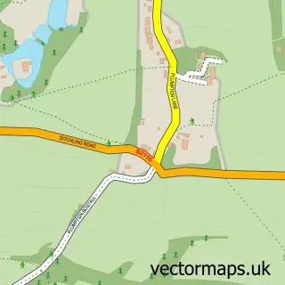
This Kingston near Lewes street map is a detailed vector street map covering a 750m x 750m area. Select a larger area to create and download your own vector street map of Kingston near Lewes.
The 750-metre map sample for Kingston near Lewes covers 255 mapped buildings and approximately 9.3 km of road detail, of which 16 named roads are named. The immediate area includes 1 GP surgery within 2 miles and 1 pub. The wider area around Kingston near Lewes features 1 tourism point of interest, 1 food and drink venue and 1 campsite within 2 miles. To create a larger or custom map of Kingston near Lewes, the map builder lets you define your own coverage area and download editable SVG, PDF and PNG files.
Create a larger editable map of Kingston near Lewes
Choose any area you need and generate a high-quality vector map instantly. Perfect for print, planning, design, business and personal use.

This Kingston near Lewes street map in East Sussex is available as downloadable SVG, PDF and PNG map files, or as a printed map for planning, business, display, education, local information and design work. You can also create a larger custom map area using the map selector.
What this Kingston near Lewes map sample shows
Kingston near Lewes lies within Kingston Near Lewes Cp parish, part of Kingston ward in the Lewes District local authority area. The postcode geography for this area includes the BN postcode area, the BN7 postcode district and the BN7 3 postcode sector. Residents fall under the Nhs Sussex Integrated Care Board for NHS services.
Local features near Kingston near Lewes
Within 2 milesAmenities and services in and around Kingston near Lewes.
Administrative and postcode information for Kingston near Lewes
The local authority covering Kingston near Lewes is Lewes District, within the county of East Sussex. The settlement lies within Kingston ward and Kingston Near Lewes Cp civil parish. The BN7 postcode district and BN7 3 postcode sector serve the immediate area. NHS provision in the area is delivered through University Hospitals Sussex Nhs Foundation Trust.
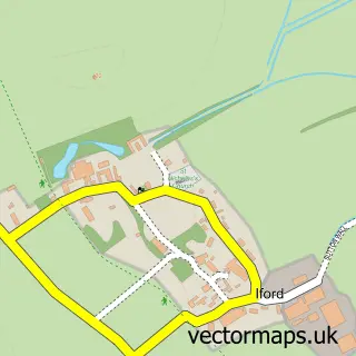
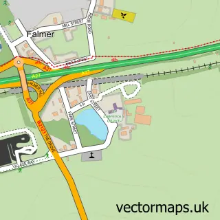
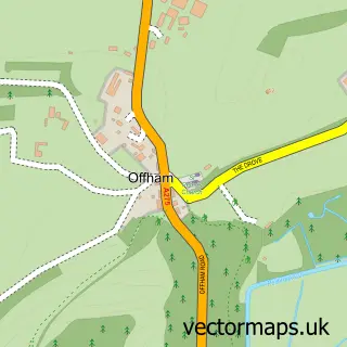
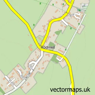
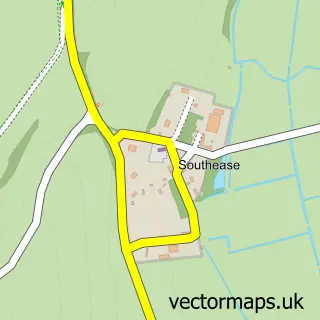
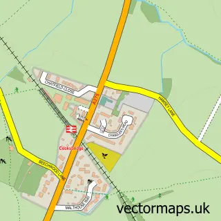
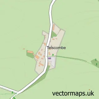
Nearby street map samples around Kingston near Lewes

More street maps in East Sussex
750 metre map area coverage
Boundary, postcode and point of interest information for the 750m x 750m rectangle centred on this sample map.
Boundaries containing map centre
Constituency: Lewes Co Const
County: East Sussex County
District: Lewes District
Icb: NHS Surrey and Sussex ICB
Parish: Kingston Near Lewes CP
Police Force: sussex
Postcode District: BN7
Postcode Sector: BN7 3
Ward: Kingston Ward
Nearby boundaries intersecting sample
Parish: Lewes CP, St. Ann (Without) CP
Ward: Lewes Priory Ward
Postcode coverage
POI category counts
Financial Advising: 2
Bakery: 1
Bed And Breakfast: 1
Business: 1
Business Consulting: 1
Church Cathedral: 1
Cinema: 1
Park: 1
Pub: 1
Transmission Repair: 1
Sample points of interest
- Glitterbug Bakery
- Nightingales
- Catandra
- My Deco Marketing
- St Pancras's Church
- Big Sky Cinema Drive In
- Kingston Independent Financial Services
- Shaun Hart Chartered Financial Planner
- Kingston Playground
- The Juggs
- Fishway Engineering Ltd.
Create a larger editable map of Kingston near Lewes
This sample shows only a 750 metre area. To create a larger map of Kingston near Lewes, use our map builder to choose your own coverage area, add titles and download editable SVG, PDF and PNG files.
Create a custom map of Kingston near Lewes