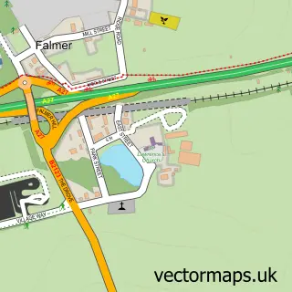
This Iford street map is a detailed vector street map covering a 750m x 750m area. Select a larger area to create and download your own vector street map of Iford.
The 750-metre map sample for Iford covers 68 mapped buildings and approximately 5.6 km of road detail, of which 1 named road are named. The immediate area includes 1 GP surgery within 2 miles. To create a larger or custom map of Iford, the map builder lets you define your own coverage area and download editable SVG, PDF and PNG files.
Create a larger editable map of Iford
Choose any area you need and generate a high-quality vector map instantly. Perfect for print, planning, design, business and personal use.

This Iford street map in East Sussex is available as downloadable SVG, PDF and PNG map files, or as a printed map for planning, business, display, education, local information and design work. You can also create a larger custom map area using the map selector.
What this Iford map sample shows
Iford lies within Iford Cp parish, part of Kingston ward in the Lewes District local authority area. The postcode geography for this area includes the BN postcode area, the BN7 postcode district and the BN7 3 postcode sector. Residents fall under the Nhs Sussex Integrated Care Board for NHS services.
Local features near Iford
Within 2 milesAmenities and services in and around Iford.
Administrative and postcode information for Iford
Iford lies within Iford Cp parish, part of Kingston ward in the Lewes District local authority area. The postcode geography for this area includes the BN postcode area, the BN7 postcode district and the BN7 3 postcode sector. Residents fall under the Nhs Sussex Integrated Care Board for NHS services.
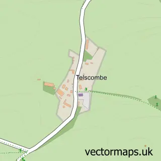
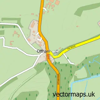
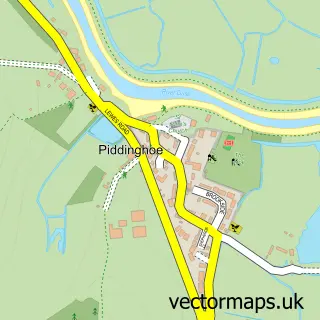
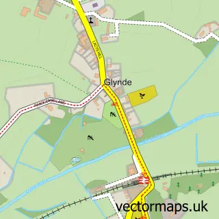
Nearby street map samples around Iford
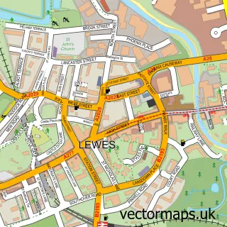

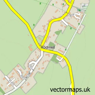
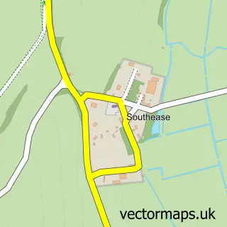
More street maps in East Sussex
750 metre map area coverage
Boundary, postcode and point of interest information for the 750m x 750m rectangle centred on this sample map.
Boundaries containing map centre
Constituency: Lewes Co Const
County: East Sussex County
District: Lewes District
Icb: NHS Surrey and Sussex ICB
Parish: Iford CP
Police Force: sussex
Postcode District: BN7
Postcode Sector: BN7 3
Ward: Kingston Ward
Nearby boundaries intersecting sample
No additional intersecting boundaries found.
Postcode coverage
POI category counts
Professional Services: 2
Anglican Church: 1
Auto Loan Provider: 1
Clothing Store: 1
Construction Services: 1
Day Spa: 1
Engineering Services: 1
Environmental Conservation Organization: 1
Event Planning: 1
Farm: 1
Sample points of interest
- St Nicholas
- Connect Mortgage Group
- The Costume Store
- M B Cable Ltd
- Reading Room Day Spa
- The Ecology Consultancy
- Iford Biodiversity Project
- Iford Hall
- Iford Estate
- The Secret Restaurant
- EFI Logistics
- Brighton Tech
Create a larger editable map of Iford
This sample shows only a 750 metre area. To create a larger map of Iford, use our map builder to choose your own coverage area, add titles and download editable SVG, PDF and PNG files.
Create a custom map of Iford