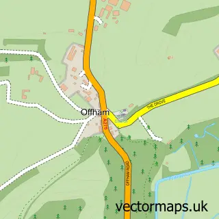
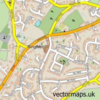
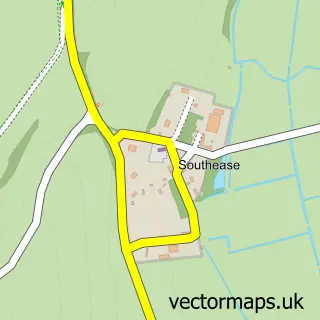
This Lewes street map is a detailed vector street map covering a 750m x 750m area. Select a larger area to create and download your own vector street map of Lewes.
The 750-metre map sample for Lewes covers 260 mapped buildings and approximately 21.6 km of road detail, of which 65 named roads are named. The immediate area includes 1 railway station, 1 GP surgery, 9 pubs and 2 MOT stations within 2 miles. The wider area around Lewes features 6 tourism points of interest, 38 food and drink venues and 4 hotels. To create a larger or custom map of Lewes, the map builder lets you define your own coverage area and download editable SVG, PDF and PNG files.
Create a larger editable map of Lewes
Choose any area you need and generate a high-quality vector map instantly. Perfect for print, planning, design, business and personal use.

This Lewes street map in East Sussex is available as downloadable SVG, PDF and PNG map files, or as a printed map for planning, business, display, education, local information and design work. You can also create a larger custom map area using the map selector.
What this Lewes map sample shows
Lewes lies within Lewes Cp parish, part of Lewes Castle ward in the Lewes District local authority area. The postcode geography for this area includes the BN postcode area, the BN7 postcode district and the BN7 1 postcode sector. Residents fall under the Nhs Sussex Integrated Care Board for NHS services.
Local features near Lewes
Within 2 milesAmenities and services in and around Lewes.
Administrative and postcode information for Lewes
The local authority covering Lewes is Lewes District, within the county of East Sussex. The settlement lies within Lewes Castle ward and Lewes Cp civil parish. The BN7 postcode district and BN7 1 postcode sector serve the immediate area. NHS provision in the area is delivered through University Hospitals Sussex Nhs Foundation Trust.
Nearby street map samples around Lewes

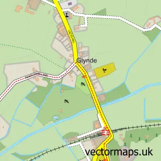
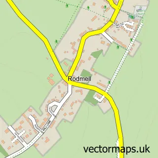
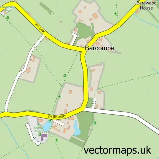
More street maps in East Sussex
750 metre map area coverage
Boundary, postcode and point of interest information for the 750m x 750m rectangle centred on this sample map.
Boundaries containing map centre
Constituency: Lewes Co Const
County: East Sussex County
District: Lewes District
Icb: NHS Surrey and Sussex ICB
Parish: Lewes CP
Police Force: sussex
Postcode District: BN7
Postcode Sector: BN7 2
Ward: Lewes Bridge Ward, Lewes Castle Ward
Nearby boundaries intersecting sample
Postcode Sector: BN7 1
Ward: Lewes Priory Ward
Postcode coverage
POI category counts
Professional Services: 21
Clothing Store: 18
Hair Salon: 15
Art Gallery: 12
Cafe: 12
Flowers And Gifts Shop: 12
Real Estate Agent: 12
Beauty Salon: 11
Coffee Shop: 10
Advertising Agency: 9
Sample points of interest
- Market Tower
- Clarke + Wells Accountancy
- Knill James
- Anna de Moor
- Equilibrium Health Centre
- Esaias Hobbs Acupuncture
- Green Leaf Acupuncture
- JMB Acupuncture
- The Acupuncture Works
- Aloof Design
- Alpha Wave Media
- Chamberlain Dunn
Create a larger editable map of Lewes
This sample shows only a 750 metre area. To create a larger map of Lewes, use our map builder to choose your own coverage area, add titles and download editable SVG, PDF and PNG files.
Create a custom map of Lewes