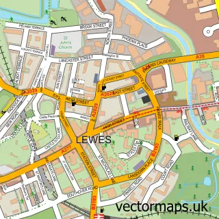
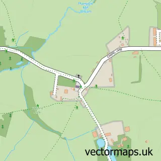
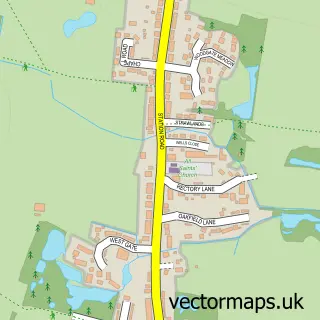
This Cooksbridge street map is a detailed vector street map covering a 750m x 750m area. Select a larger area to create and download your own vector street map of Cooksbridge.
The 750-metre map sample for Cooksbridge covers 110 mapped buildings and approximately 9.3 km of road detail, of which 7 named roads are named. The immediate area includes 1 school and 1 railway station. To create a larger or custom map of Cooksbridge, the map builder lets you define your own coverage area and download editable SVG, PDF and PNG files.
Create a larger editable map of Cooksbridge
Choose any area you need and generate a high-quality vector map instantly. Perfect for print, planning, design, business and personal use.

This Cooksbridge street map in East Sussex is available as downloadable SVG, PDF and PNG map files, or as a printed map for planning, business, display, education, local information and design work. You can also create a larger custom map area using the map selector.
What this Cooksbridge map sample shows
Cooksbridge lies within Hamsey Cp parish, part of Chailey, Barcombe & Hamsey ward in the Lewes District local authority area. The postcode geography for this area includes the BN postcode area, the BN8 postcode district and the BN8 4 postcode sector. Residents fall under the Nhs Sussex Integrated Care Board for NHS services.
Local features near Cooksbridge
Within 2 milesAmenities and services in and around Cooksbridge.
Administrative and postcode information for Cooksbridge
Cooksbridge lies within Hamsey Cp parish, part of Chailey, Barcombe & Hamsey ward in the Lewes District local authority area. The postcode geography for this area includes the BN postcode area, the BN8 postcode district and the BN8 4 postcode sector. Residents fall under the Nhs Sussex Integrated Care Board for NHS services.
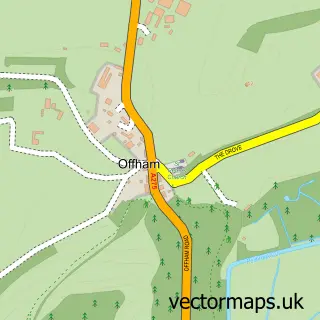
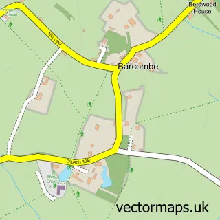
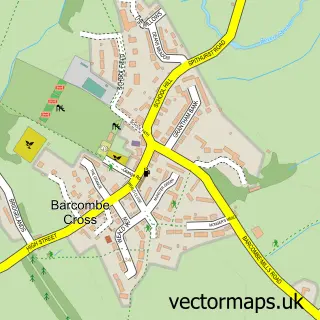
Nearby street map samples around Cooksbridge

More street maps in East Sussex
750 metre map area coverage
Boundary, postcode and point of interest information for the 750m x 750m rectangle centred on this sample map.
Boundaries containing map centre
Constituency: East Grinstead and Uckfield Co Const
County: East Sussex County
District: Lewes District
Icb: NHS Surrey and Sussex ICB
Parish: Hamsey CP
Police Force: sussex
Postcode District: BN8
Postcode Sector: BN8 4
Ward: Chailey, Barcombe & Hamsey Ward
Nearby boundaries intersecting sample
Parish: Barcombe CP
Postcode District: BN7
Postcode Sector: BN7 3, BN8 5
Postcode coverage
POI category counts
Contractor: 2
Gardener: 2
Train Station: 2
Alternative Medicine: 1
Architectural Designer: 1
Beach: 1
Building Supply Store: 1
Ev Charging Station: 1
Event Planning: 1
Financial Advising: 1
Sample points of interest
- Rose Fuhrmann
- BBM Sustainable Design Ltd
- Camber Sands
- Atlantis Plumbing & Heating
- Andy West Decorating
- Hartley Quinn Wilson Ltd
- BEC - Beechwood Hall
- Beechwood Hall & Rural Park Venue
- Town & Country Private Finance
- Ah Services
- Homes in Bloom
- Howard Eaton Lighting
Create a larger editable map of Cooksbridge
This sample shows only a 750 metre area. To create a larger map of Cooksbridge, use our map builder to choose your own coverage area, add titles and download editable SVG, PDF and PNG files.
Create a custom map of Cooksbridge