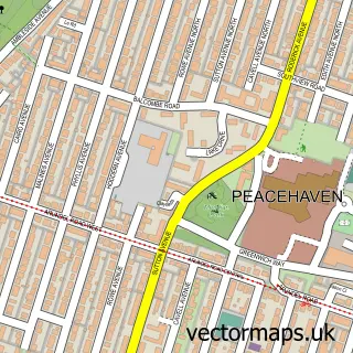
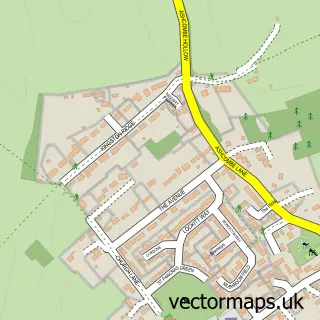
This Rottingdean street map is a detailed vector street map covering a 750m x 750m area. Select a larger area to create and download your own vector street map of Rottingdean.
The 750-metre map sample for Rottingdean covers 255 mapped buildings and approximately 9.5 km of road detail, of which 21 named roads are named. The immediate area includes 2 schools, 1 GP surgery within 2 miles, 5 pubs and 1 MOT station, with 2 within 2 miles. The wider area around Rottingdean features 15 food and drink venues and 2 hotels. To create a larger or custom map of Rottingdean, the map builder lets you define your own coverage area and download editable SVG, PDF and PNG files.
Create a larger editable map of Rottingdean
Choose any area you need and generate a high-quality vector map instantly. Perfect for print, planning, design, business and personal use.

This Rottingdean street map in East Sussex is available as downloadable SVG, PDF and PNG map files, or as a printed map for planning, business, display, education, local information and design work. You can also create a larger custom map area using the map selector.
What this Rottingdean map sample shows
Rottingdean lies within Rottingdean Cp parish, part of Rottingdean Coastal ward in the The City Of Brighton And Hove (B) local authority area. The postcode geography for this area includes the BN postcode area, the BN2 postcode district and the BN2 7 postcode sector. Residents fall under the Nhs Sussex Integrated Care Board for NHS services.
Local features near Rottingdean
Within 2 milesAmenities and services in and around Rottingdean.
Administrative and postcode information for Rottingdean
The local authority covering Rottingdean is The City Of Brighton And Hove (B), within the county of East Sussex. The settlement lies within Rottingdean Coastal ward and Rottingdean Cp civil parish. The BN2 postcode district and BN2 7 postcode sector serve the immediate area. NHS provision in the area is delivered through University Hospitals Sussex Nhs Foundation Trust.
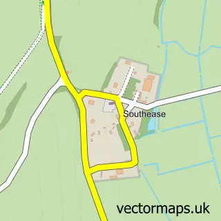
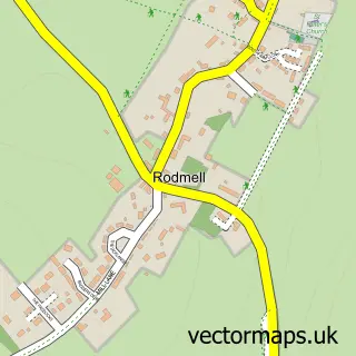
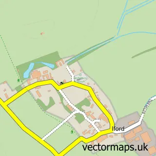
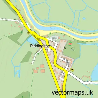
Nearby street map samples around Rottingdean

More street maps in East Sussex
750 metre map area coverage
Boundary, postcode and point of interest information for the 750m x 750m rectangle centred on this sample map.
Boundaries containing map centre
Constituency: Brighton Kemptown and Peacehaven Boro Const
District: The City of Brighton and Hove (B)
Icb: NHS Surrey and Sussex ICB
Parish: Rottingdean CP
Police Force: sussex
Postcode District: BN2
Postcode Sector: BN2 7
Ward: Rottingdean & West Saltdean Ward
Nearby boundaries intersecting sample
No additional intersecting boundaries found.
Postcode coverage
POI category counts
Cafe: 8
Pub: 5
Real Estate Agent: 5
Flowers And Gifts Shop: 4
Antique Store: 3
Beauty Salon: 3
Charity Organization: 3
Church Cathedral: 3
Gift Shop: 3
Martial Arts Club: 3
Sample points of interest
- Rottingdean Nursing Home
- iExcel Accountants
- Grange Antiques
- Pop cycle
- The Chapel Art Antiques & Collectables
- Dalby Architecture
- Rottingdean Frames and Gallery
- Gertrude's Garden Arts & Crafts
- T H a
- LRG Electrical
- Denes Motors
- St Margarets Motors
Create a larger editable map of Rottingdean
This sample shows only a 750 metre area. To create a larger map of Rottingdean, use our map builder to choose your own coverage area, add titles and download editable SVG, PDF and PNG files.
Create a custom map of Rottingdean