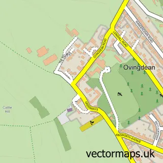
This Peacehaven street map is a detailed vector street map covering a 750m x 750m area. Select a larger area to create and download your own vector street map of Peacehaven.
The 750-metre map sample for Peacehaven covers 627 mapped buildings and approximately 23.3 km of road detail, of which 31 named roads are named. The immediate area includes 1 school, 1 GP surgery, with 2 within 2 miles, 1 pub and 7 MOT stations within 2 miles. The wider area around Peacehaven features 1 food and drink venue. To create a larger or custom map of Peacehaven, the map builder lets you define your own coverage area and download editable SVG, PDF and PNG files.
Create a larger editable map of Peacehaven
Choose any area you need and generate a high-quality vector map instantly. Perfect for print, planning, design, business and personal use.

This Peacehaven street map in East Sussex is available as downloadable SVG, PDF and PNG map files, or as a printed map for planning, business, display, education, local information and design work. You can also create a larger custom map area using the map selector.
What this Peacehaven map sample shows
Peacehaven lies within Peacehaven Cp parish, part of Peacehaven West ward in the Lewes District local authority area. The postcode geography for this area includes the BN postcode area, the BN10 postcode district and the BN10 7 postcode sector. Residents fall under the Nhs Sussex Integrated Care Board for NHS services.
Local features near Peacehaven
Within 2 milesAmenities and services in and around Peacehaven.
Administrative and postcode information for Peacehaven
Peacehaven lies within Peacehaven Cp parish, part of Peacehaven West ward in the Lewes District local authority area. The postcode geography for this area includes the BN postcode area, the BN10 postcode district and the BN10 7 postcode sector. Residents fall under the Nhs Sussex Integrated Care Board for NHS services.
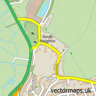
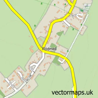
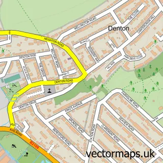
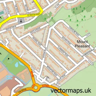
Nearby street map samples around Peacehaven

More street maps in East Sussex
750 metre map area coverage
Boundary, postcode and point of interest information for the 750m x 750m rectangle centred on this sample map.
Boundaries containing map centre
Constituency: Brighton Kemptown and Peacehaven Boro Const
County: East Sussex County
District: Lewes District
Icb: NHS Surrey and Sussex ICB
Parish: Peacehaven CP
Police Force: sussex
Postcode District: BN10
Postcode Sector: BN10 7
Ward: Peacehaven West Ward
Nearby boundaries intersecting sample
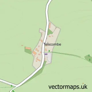
Parish: Telscombe CP
Postcode Sector: BN10 8
Ward: East Saltdean & Telscombe Cliffs Ward, Peacehaven North Ward
Postcode coverage
POI category counts
Elementary School: 3
Gym: 3
Shopping Center: 3
Bank Credit Union: 2
Community Center: 2
Family Practice: 2
Home Cleaning: 2
Massage Therapy: 2
Youth Organizations: 2
Appliance Store: 1
Sample points of interest
- Peacehaven Domestic
- Halifax
- Halifax
- The White Rooms Beauty Therapy
- Vlad Minciuna
- Residential Renovations Ltd.
- AMC Plumbing & Heating
- Betfred
- Millennium Carpentry and Building Ltd
- The Immaculate Conception of Our Lady
- All Odd Jobs
- Peacocks
Create a larger editable map of Peacehaven
This sample shows only a 750 metre area. To create a larger map of Peacehaven, use our map builder to choose your own coverage area, add titles and download editable SVG, PDF and PNG files.
Create a custom map of Peacehaven