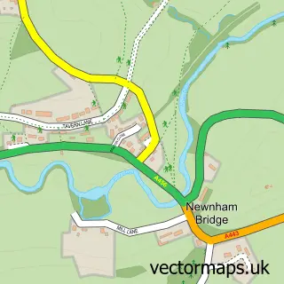
This Eardiston street map is a detailed vector street map covering a 750m x 750m area. Select a larger area to create and download your own vector street map of Eardiston.
The 750-metre map sample for Eardiston covers 96 mapped buildings and approximately 24.4 km of road detail, of which 3 named roads are named. The wider area around Eardiston features 1 food and drink venue. To create a larger or custom map of Eardiston, the map builder lets you define your own coverage area and download editable SVG, PDF and PNG files.
Create a larger editable map of Eardiston
Choose any area you need and generate a high-quality vector map instantly. Perfect for print, planning, design, business and personal use.

This Eardiston street map in Worcestershire is available as downloadable SVG, PDF and PNG map files, or as a printed map for planning, business, display, education, local information and design work. You can also create a larger custom map area using the map selector.
What this Eardiston map sample shows
Eardiston lies within Lindridge Cp parish, part of Lindridge ward in the Malvern Hills District local authority area. The postcode geography for this area includes the WR postcode area, the WR15 postcode district and the WR15 8 postcode sector. Residents fall under the Nhs Herefordshire And Worcestershire Integrated Care Board for NHS services.
Local features near Eardiston
Within 2 milesAmenities and services in and around Eardiston.
Administrative and postcode information for Eardiston
The local authority covering Eardiston is Malvern Hills District, within the county of Worcestershire. The settlement lies within Lindridge ward and Lindridge Cp civil parish. The WR15 postcode district and WR15 8 postcode sector serve the immediate area. NHS provision in the area is delivered through Worcestershire Acute Hospitals Nhs Trust.
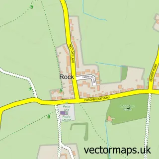
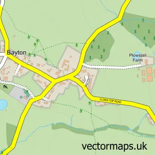
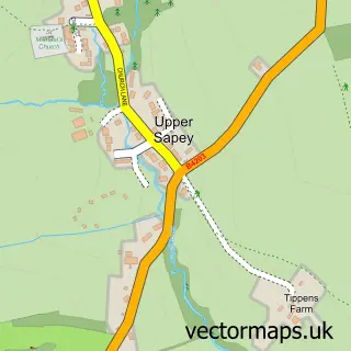
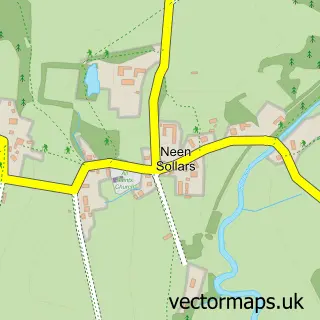
Nearby street map samples around Eardiston

More street maps in Worcestershire
750 metre map area coverage
Boundary, postcode and point of interest information for the 750m x 750m rectangle centred on this sample map.
Boundaries containing map centre
Constituency: West Worcestershire Co Const
County: Worcestershire County
District: Malvern Hills District
Icb: NHS Herefordshire and Worcestershire ICB
Parish: Lindridge CP
Police Force: west mercia
Postcode District: WR15
Postcode Sector: WR15 8
Ward: Lindridge Ward
Nearby boundaries intersecting sample
Parish: Stanford with Orleton CP
Postcode District: WR6
Postcode Sector: WR6 6
Ward: Tenbury Ward
Postcode coverage
POI category counts
Building Supply Store: 1
Bus Station: 1
Community Center: 1
Community Services Non Profits: 1
Financial Service: 1
Food: 1
Fruits And Vegetables: 1
Restaurant: 1
Sample points of interest
- Athena Work Surface Fabrications
- Yarranton Bros Ltd
- Lindridge Parish Hall
- Eardiston Country Club
- Kimberlee & Co
- Royal Equestrian Bedding
- Botanix
- Royal Equestrian Racing Club
Create a larger editable map of Eardiston
This sample shows only a 750 metre area. To create a larger map of Eardiston, use our map builder to choose your own coverage area, add titles and download editable SVG, PDF and PNG files.
Create a custom map of Eardiston