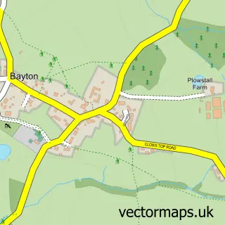
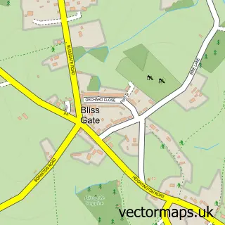
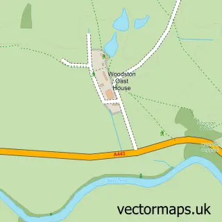
This Clows Top street map is a detailed vector street map covering a 750m x 750m area. Select a larger area to create and download your own vector street map of Clows Top.
The 750-metre map sample for Clows Top covers 133 mapped buildings and approximately 22.0 km of road detail, of which 1 named road are named. To create a larger or custom map of Clows Top, the map builder lets you define your own coverage area and download editable SVG, PDF and PNG files.
Create a larger editable map of Clows Top
Choose any area you need and generate a high-quality vector map instantly. Perfect for print, planning, design, business and personal use.

This Clows Top street map in Worcestershire is available as downloadable SVG, PDF and PNG map files, or as a printed map for planning, business, display, education, local information and design work. You can also create a larger custom map area using the map selector.
What this Clows Top map sample shows
Clows Top lies within Rock Cp parish, part of Bewdley & Rock ward in the Wyre Forest District local authority area. The postcode geography for this area includes the DY postcode area, the DY14 postcode district and the DY14 9 postcode sector. Residents fall under the Nhs Herefordshire And Worcestershire Integrated Care Board for NHS services.
Administrative and postcode information for Clows Top
The local authority covering Clows Top is Wyre Forest District, within the county of Worcestershire. The settlement lies within Bewdley & Rock ward and Rock Cp civil parish. The DY14 postcode district and DY14 9 postcode sector serve the immediate area. NHS provision in the area is delivered through Worcestershire Acute Hospitals Nhs Trust.
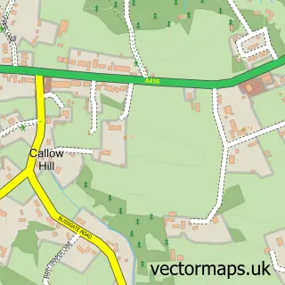
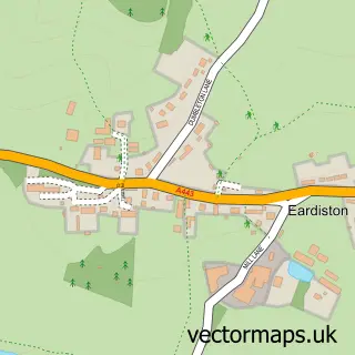
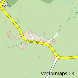
Nearby street map samples around Clows Top

More street maps in Worcestershire
750 metre map area coverage
Boundary, postcode and point of interest information for the 750m x 750m rectangle centred on this sample map.
Boundaries containing map centre
Constituency: West Worcestershire Co Const
County: Worcestershire County
District: Malvern Hills District
Icb: NHS Herefordshire and Worcestershire ICB
Police Force: west mercia
Postcode District: DY14
Postcode Sector: DY14 9
Ward: Lindridge Ward
Nearby boundaries intersecting sample
Constituency: Wyre Forest Co Const
District: Wyre Forest District
Parish: Bayton CP, Mamble CP, Rock CP
Ward: Bewdley & Rock Ward
Postcode coverage
POI category counts
Trophy Shop: 2
Anglican Church: 1
Arts And Entertainment: 1
Butcher Shop: 1
Car Dealer: 1
Event Planning: 1
Flooring Contractors: 1
Furniture Store: 1
Gift Shop: 1
Information Technology Company: 1
Sample points of interest
- Mission Room
- Quadzone
- Brian's Butchers
- CCCampers LTD
- Clows Top Victory Hall
- Splinters Flooring
- Poppy's Garden Benches
- Manx Trophies & Professional Engraving Services
- Cloud Top Technology ltd
- Quadzone
- U V Steel
- Clows Top Post Office
Create a larger editable map of Clows Top
This sample shows only a 750 metre area. To create a larger map of Clows Top, use our map builder to choose your own coverage area, add titles and download editable SVG, PDF and PNG files.
Create a custom map of Clows Top