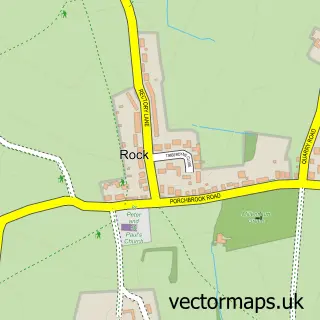
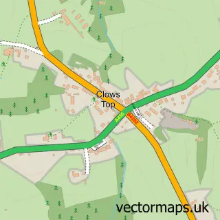
This Callow Hill street map is a detailed vector street map covering a 750m x 750m area. Select a larger area to create and download your own vector street map of Callow Hill.
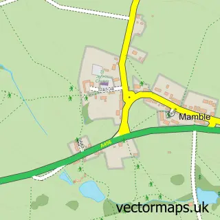
The 750-metre map sample for Callow Hill covers 163 mapped buildings and approximately 19.0 km of road detail, of which 4 named roads are named. The immediate area includes 1 pub and 1 MOT station within 2 miles. The wider area around Callow Hill features 4 tourism points of interest, 3 food and drink venues and 2 hotels. To create a larger or custom map of Callow Hill, the map builder lets you define your own coverage area and download editable SVG, PDF and PNG files.
Create a larger editable map of Callow Hill
Choose any area you need and generate a high-quality vector map instantly. Perfect for print, planning, design, business and personal use.

This Callow Hill street map in Worcestershire is available as downloadable SVG, PDF and PNG map files, or as a printed map for planning, business, display, education, local information and design work. You can also create a larger custom map area using the map selector.
What this Callow Hill map sample shows
Callow Hill lies within Rock Cp parish, part of Bewdley & Rock ward in the Wyre Forest District local authority area. The postcode geography for this area includes the DY postcode area, the DY14 postcode district and the DY14 9 postcode sector. Residents fall under the Nhs Herefordshire And Worcestershire Integrated Care Board for NHS services.
Local features near Callow Hill
Within 2 milesAmenities and services in and around Callow Hill.
Administrative and postcode information for Callow Hill
Callow Hill lies within Rock Cp parish, part of Bewdley & Rock ward in the Wyre Forest District local authority area. The postcode geography for this area includes the DY postcode area, the DY14 postcode district and the DY14 9 postcode sector. Residents fall under the Nhs Herefordshire And Worcestershire Integrated Care Board for NHS services.
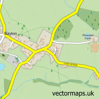
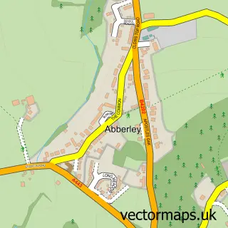
Nearby street map samples around Callow Hill

More street maps in Worcestershire
750 metre map area coverage
Boundary, postcode and point of interest information for the 750m x 750m rectangle centred on this sample map.
Boundaries containing map centre
Constituency: Wyre Forest Co Const
County: Worcestershire County
District: Wyre Forest District
Icb: NHS Herefordshire and Worcestershire ICB
Parish: Rock CP
Police Force: west mercia
Postcode District: DY14
Postcode Sector: DY14 9
Ward: Bewdley & Rock Ward
Nearby boundaries intersecting sample
Postcode District: DY12
Postcode Sector: DY12 2
Postcode coverage
POI category counts
Amusement Park: 2
Cafe: 2
Hotel: 2
Agriculture: 1
Automotive Repair: 1
Beauty Product Supplier: 1
Beauty Salon: 1
Bicycle Shop: 1
Campground: 1
Carpenter: 1
Sample points of interest
- Forestry Commission
- Go Ape Wyre
- Go Ape Wyre
- Tanc Barratt
- Mandy Morris
- Semi Permanent Makeup & Laser Tattoo Removal
- Bewdley Outdoors
- The Forest Cafe
- Wyre Forest Visitors Centre
- Lucys Farm Campsite
- T.P. Carpentry & Building
- Garden Wizards
Create a larger editable map of Callow Hill
This sample shows only a 750 metre area. To create a larger map of Callow Hill, use our map builder to choose your own coverage area, add titles and download editable SVG, PDF and PNG files.
Create a custom map of Callow Hill