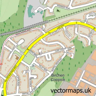
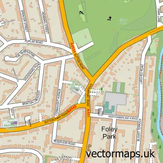
This Bewdley street map is a detailed vector street map covering a 750m x 750m area. Select a larger area to create and download your own vector street map of Bewdley.
The 750-metre map sample for Bewdley covers 376 mapped buildings and approximately 50.3 km of road detail, of which 40 named roads are named. The immediate area includes 1 GP surgery, 12 pubs and 1 MOT station within 2 miles. The wider area around Bewdley features 4 tourism points of interest, 28 food and drink venues and 9 hotels. To create a larger or custom map of Bewdley, the map builder lets you define your own coverage area and download editable SVG, PDF and PNG files.
Create a larger editable map of Bewdley
Choose any area you need and generate a high-quality vector map instantly. Perfect for print, planning, design, business and personal use.

This Bewdley street map in Worcestershire is available as downloadable SVG, PDF and PNG map files, or as a printed map for planning, business, display, education, local information and design work. You can also create a larger custom map area using the map selector.
What this Bewdley map sample shows
Bewdley lies within Bewdley Cp parish, part of Bewdley & Rock ward in the Wyre Forest District local authority area. The postcode geography for this area includes the DY postcode area, the DY12 postcode district and the DY12 2 postcode sector. Residents fall under the Nhs Herefordshire And Worcestershire Integrated Care Board for NHS services.
Local features near Bewdley
Within 2 milesAmenities and services in and around Bewdley.
Administrative and postcode information for Bewdley
Bewdley lies within Bewdley Cp parish, part of Bewdley & Rock ward in the Wyre Forest District local authority area. The postcode geography for this area includes the DY postcode area, the DY12 postcode district and the DY12 2 postcode sector. Residents fall under the Nhs Herefordshire And Worcestershire Integrated Care Board for NHS services.
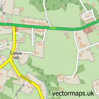
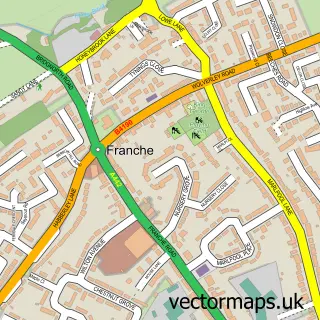
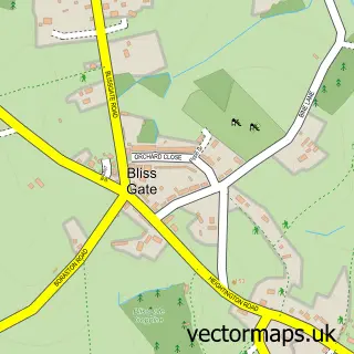
Nearby street map samples around Bewdley


More street maps in Worcestershire
750 metre map area coverage
Boundary, postcode and point of interest information for the 750m x 750m rectangle centred on this sample map.
Boundaries containing map centre
Constituency: Wyre Forest Co Const
County: Worcestershire County
District: Wyre Forest District
Icb: NHS Herefordshire and Worcestershire ICB
Parish: Bewdley CP
Police Force: west mercia
Postcode District: DY12
Postcode Sector: DY12 2
Ward: Bewdley & Rock Ward
Nearby boundaries intersecting sample
Postcode Sector: DY12 1
Ward: Wribbenhall & Arley Ward
Postcode coverage
POI category counts
Pub: 12
Hair Salon: 10
Hotel: 8
Beauty Salon: 7
Cafe: 7
Bed And Breakfast: 6
Professional Services: 6
Church Cathedral: 5
Coffee Shop: 5
Flowers And Gifts Shop: 5
Sample points of interest
- AIMS Accountants for Business
- St Anne's Church
- St. Anne's, Bewdley
- Bewdley Antiques
- The Park Royal Collection
- Fish Tank
- Baustudio Architecture Ltd
- Engineering & Building Design
- Foundry Artists
- The Melting Pot
- Bewdley Festival
- Morrisons Daily - Bewdley Load Street
Create a larger editable map of Bewdley
This sample shows only a 750 metre area. To create a larger map of Bewdley, use our map builder to choose your own coverage area, add titles and download editable SVG, PDF and PNG files.
Create a custom map of Bewdley