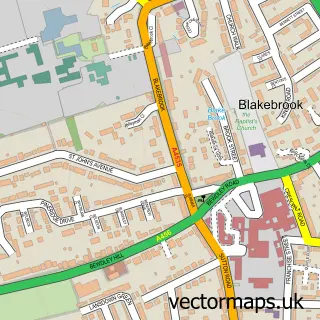
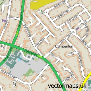
This Rifle Range street map is a detailed vector street map covering a 750m x 750m area. Select a larger area to create and download your own vector street map of Rifle Range.
The 750-metre map sample for Rifle Range covers 513 mapped buildings and approximately 47.1 km of road detail, of which 33 named roads are named. The immediate area includes 5 GP surgeries within 2 miles and 24 MOT stations within 2 miles. To create a larger or custom map of Rifle Range, the map builder lets you define your own coverage area and download editable SVG, PDF and PNG files.
Create a larger editable map of Rifle Range
Choose any area you need and generate a high-quality vector map instantly. Perfect for print, planning, design, business and personal use.

This Rifle Range street map in Worcestershire is available as downloadable SVG, PDF and PNG map files, or as a printed map for planning, business, display, education, local information and design work. You can also create a larger custom map area using the map selector.
What this Rifle Range map sample shows
Rifle Range lies within Kidderminster Cp parish, part of Blakebrook & Habberley South ward in the Wyre Forest District local authority area. The postcode geography for this area includes the DY postcode area, the DY11 postcode district and the DY11 6 postcode sector. Residents fall under the Nhs Herefordshire And Worcestershire Integrated Care Board for NHS services.
Local features near Rifle Range
Within 2 milesAmenities and services in and around Rifle Range.
Administrative and postcode information for Rifle Range
Rifle Range lies within Kidderminster Cp parish, part of Blakebrook & Habberley South ward in the Wyre Forest District local authority area. The postcode geography for this area includes the DY postcode area, the DY11 postcode district and the DY11 6 postcode sector. Residents fall under the Nhs Herefordshire And Worcestershire Integrated Care Board for NHS services.
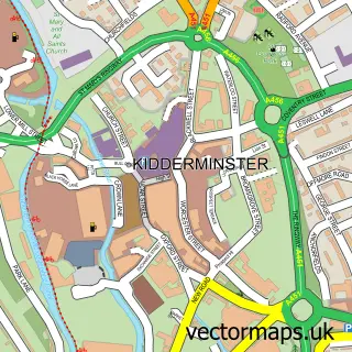
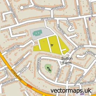
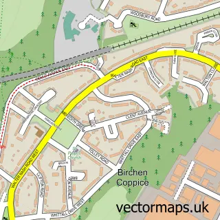
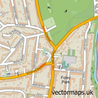
Nearby street map samples around Rifle Range

More street maps in Worcestershire
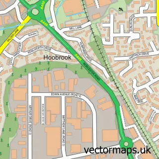
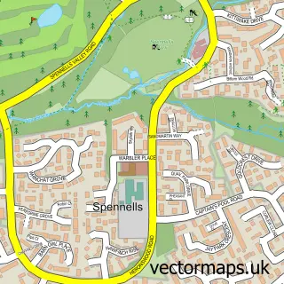
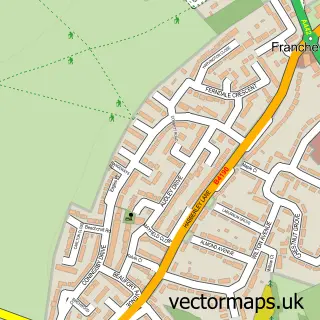
750 metre map area coverage
Boundary, postcode and point of interest information for the 750m x 750m rectangle centred on this sample map.
Boundaries containing map centre
Constituency: Wyre Forest Co Const
County: Worcestershire County
District: Wyre Forest District
Icb: NHS Herefordshire and Worcestershire ICB
Parish: Kidderminster CP
Police Force: west mercia
Postcode District: DY11
Postcode Sector: DY11 7
Ward: Foley Park & Hoobrook Ward
Nearby boundaries intersecting sample
Postcode Sector: DY11 6
Postcode coverage
POI category counts
Building Supply Store: 3
Convenience Store: 3
Chinese Restaurant: 2
Mobile Phone Store: 2
Roofing: 2
Atms: 1
Automotive: 1
Bar: 1
Bridal Shop: 1
Child Care And Day Care: 1
Sample points of interest
- PayPoint
- Nautequipe Marine and Leisure
- The Musketeer
- John Colson Photography
- Local Sparky Ltd
- Nasso Plumbing
- Removal Co
- Janet Wood
- Fortunes
- Kin Yip
- Foley Park Methodist Church
- Dowles Road Rifle Range
Create a larger editable map of Rifle Range
This sample shows only a 750 metre area. To create a larger map of Rifle Range, use our map builder to choose your own coverage area, add titles and download editable SVG, PDF and PNG files.
Create a custom map of Rifle Range