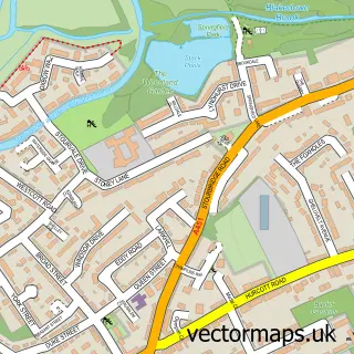
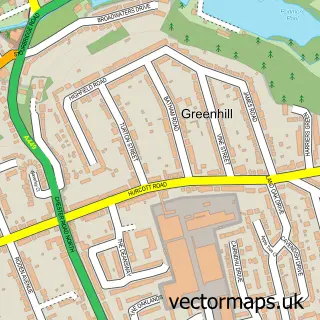
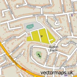
This Kidderminster street map is a detailed vector street map covering a 750m x 750m area. Select a larger area to create and download your own vector street map of Kidderminster.
The 750-metre map sample for Kidderminster covers 196 mapped buildings and approximately 74.8 km of road detail, of which 52 named roads are named. The immediate area includes 2 GP surgeries, with 6 within 2 miles, 11 pubs and 1 MOT station, with 21 within 2 miles. The wider area around Kidderminster features 7 tourism points of interest, 34 food and drink venues and 2 hotels. To create a larger or custom map of Kidderminster, the map builder lets you define your own coverage area and download editable SVG, PDF and PNG files.
Create a larger editable map of Kidderminster
Choose any area you need and generate a high-quality vector map instantly. Perfect for print, planning, design, business and personal use.

This Kidderminster street map in Worcestershire is available as downloadable SVG, PDF and PNG map files, or as a printed map for planning, business, display, education, local information and design work. You can also create a larger custom map area using the map selector.
What this Kidderminster map sample shows
Kidderminster lies within Kidderminster Cp parish, part of Offmore & Comberton ward in the Wyre Forest District local authority area. The postcode geography for this area includes the DY postcode area, the DY10 postcode district and the DY10 2 postcode sector. Residents fall under the Nhs Herefordshire And Worcestershire Integrated Care Board for NHS services.
Local features near Kidderminster
Within 2 milesAmenities and services in and around Kidderminster.
Administrative and postcode information for Kidderminster
Kidderminster lies within Kidderminster Cp parish, part of Offmore & Comberton ward in the Wyre Forest District local authority area. The postcode geography for this area includes the DY postcode area, the DY10 postcode district and the DY10 2 postcode sector. Residents fall under the Nhs Herefordshire And Worcestershire Integrated Care Board for NHS services.
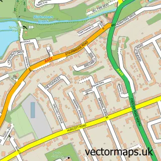
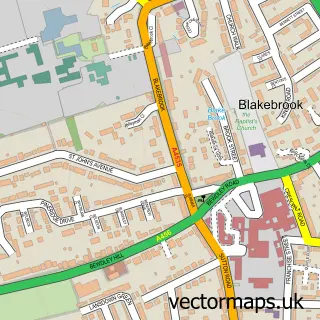
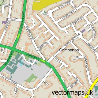
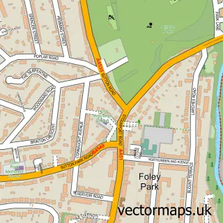
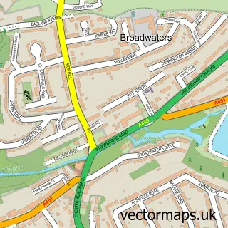
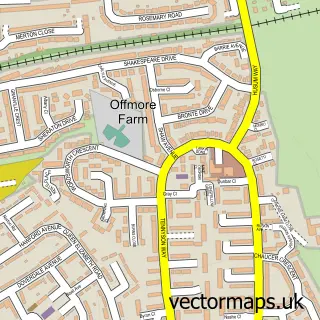
Nearby street map samples around Kidderminster

More street maps in Worcestershire
750 metre map area coverage
Boundary, postcode and point of interest information for the 750m x 750m rectangle centred on this sample map.
Boundaries containing map centre
Constituency: Wyre Forest Co Const
County: Worcestershire County
District: Wyre Forest District
Icb: NHS Herefordshire and Worcestershire ICB
Parish: Kidderminster CP
Police Force: west mercia
Postcode District: DY10
Postcode Sector: DY10 2
Ward: Blakebrook & Habberley South Ward
Nearby boundaries intersecting sample
Postcode District: DY11
Postcode Sector: DY10 1, DY11 6
Ward: Aggborough & Spennells Ward, Broadwaters Ward, Franche & Habberley North Ward, Offmore & Comberton Ward
Postcode coverage
POI category counts
Beauty Salon: 22
Clothing Store: 18
Professional Services: 16
Jewelry Store: 13
Cafe: 12
Doctor: 12
Pub: 11
Mobile Phone Store: 10
Real Estate Agent: 10
Tattoo And Piercing: 10
Sample points of interest
- M J Riley & Co.
- Moneywise Midlands
- Dr. China Wellness
- Tony Concannon
- Connexions
- The Promotional Mix
- Skin In The City
- West Midlands Colonics by Hydrocleanse
- Casino Slots
- Shipley Leisure Enterprises
- St George's Church, Kidderminster
- St Mary's
Create a larger editable map of Kidderminster
This sample shows only a 750 metre area. To create a larger map of Kidderminster, use our map builder to choose your own coverage area, add titles and download editable SVG, PDF and PNG files.
Create a custom map of Kidderminster