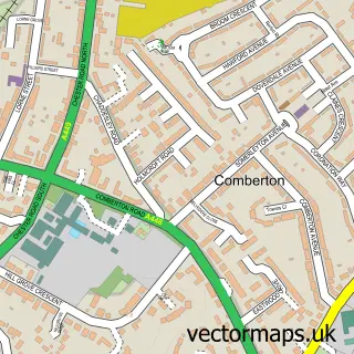
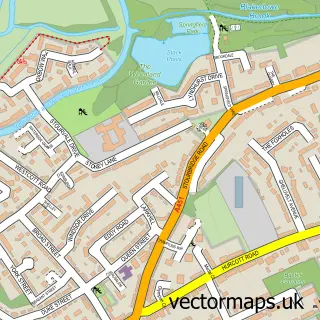
This Offmore Farm street map is a detailed vector street map covering a 750m x 750m area. Select a larger area to create and download your own vector street map of Offmore Farm.
The 750-metre map sample for Offmore Farm covers 439 mapped buildings and approximately 54.1 km of road detail, of which 43 named roads are named. The immediate area includes 1 school, 5 GP surgeries within 2 miles, 2 pubs and 18 MOT stations within 2 miles. The wider area around Offmore Farm features 1 tourism point of interest, 4 food and drink venues and 1 campsite within 2 miles. To create a larger or custom map of Offmore Farm, the map builder lets you define your own coverage area and download editable SVG, PDF and PNG files.
Create a larger editable map of Offmore Farm
Choose any area you need and generate a high-quality vector map instantly. Perfect for print, planning, design, business and personal use.

This Offmore Farm street map in Worcestershire is available as downloadable SVG, PDF and PNG map files, or as a printed map for planning, business, display, education, local information and design work. You can also create a larger custom map area using the map selector.
What this Offmore Farm map sample shows
Offmore Farm lies within Kidderminster Cp parish, part of Offmore & Comberton ward in the Wyre Forest District local authority area. The postcode geography for this area includes the DY postcode area, the DY10 postcode district and the DY10 2 postcode sector. Residents fall under the Nhs Herefordshire And Worcestershire Integrated Care Board for NHS services.
Local features near Offmore Farm
Within 2 milesAmenities and services in and around Offmore Farm.
Administrative and postcode information for Offmore Farm
The local authority covering Offmore Farm is Wyre Forest District, within the county of Worcestershire. The settlement lies within Offmore & Comberton ward and Kidderminster Cp civil parish. The DY10 postcode district and DY10 2 postcode sector serve the immediate area. NHS provision in the area is delivered through Worcestershire Acute Hospitals Nhs Trust.
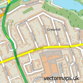
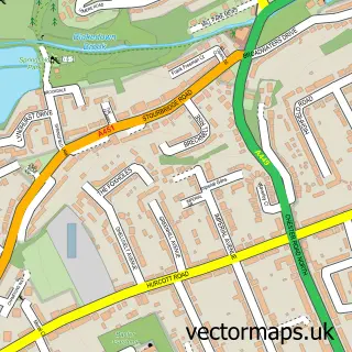
Nearby street map samples around Offmore Farm


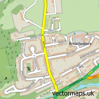
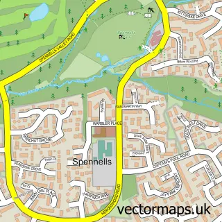
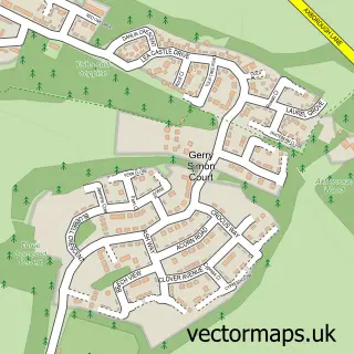
More street maps in Worcestershire
750 metre map area coverage
Boundary, postcode and point of interest information for the 750m x 750m rectangle centred on this sample map.
Boundaries containing map centre
Constituency: Wyre Forest Co Const
County: Worcestershire County
District: Wyre Forest District
Icb: NHS Herefordshire and Worcestershire ICB
Parish: Kidderminster CP
Police Force: west mercia
Postcode District: DY10
Postcode Sector: DY10 3
Ward: Offmore & Comberton Ward
Nearby boundaries intersecting sample
Parish: Churchill and Blakedown CP, Stone CP
Postcode Sector: DY10 2
Ward: Wyre Forest Rural Ward
Postcode coverage
POI category counts
Convenience Store: 6
Building Supply Store: 4
Post Office: 3
Church Cathedral: 2
Fast Food Restaurant: 2
Grocery Store: 2
Metals: 2
Pet Groomer: 2
Pet Services: 2
Pub: 2
Sample points of interest
- St Chad's, Comberton
- The Old Fellah
- Magic Match Vehicle Body Repairs
- Edwards Roofing Services
- Fairmont Decorating
- K.T Barrett Construction & Landscapes
- Mr Squeegee Window Cleaning
- Hong Kong Kitchen
- Calabbria
- Edwards Roofing Services
- Offmore Church
- St Chads Church
Create a larger editable map of Offmore Farm
This sample shows only a 750 metre area. To create a larger map of Offmore Farm, use our map builder to choose your own coverage area, add titles and download editable SVG, PDF and PNG files.
Create a custom map of Offmore Farm