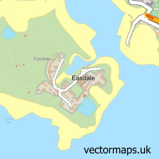
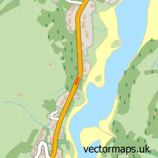
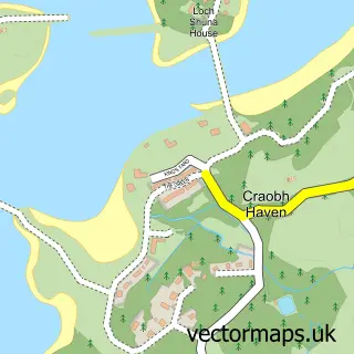
This Ellenabeich street map is a detailed vector street map covering a 750m x 750m area. Select a larger area to create and download your own vector street map of Ellenabeich.
The 750-metre map sample for Ellenabeich covers 33 mapped buildings and approximately 3.7 km of road detail. The immediate area includes 1 pub. The wider area around Ellenabeich features 4 tourism points of interest, 1 food and drink venue and 1 hotel. To create a larger or custom map of Ellenabeich, the map builder lets you define your own coverage area and download editable SVG, PDF and PNG files.
Create a larger editable map of Ellenabeich
Choose any area you need and generate a high-quality vector map instantly. Perfect for print, planning, design, business and personal use.

This Ellenabeich street map in Argyll and Bute is available as downloadable SVG, PDF and PNG map files, or as a printed map for planning, business, display, education, local information and design work. You can also create a larger custom map area using the map selector.
What this Ellenabeich map sample shows
Ellenabeich lies within Argyll And Bute parish, part of Oban North And Lorn ward in the Argyll And Bute local authority area. The postcode geography for this area includes the PA postcode area, the PA34 postcode district and the PA34 4 postcode sector. Local NHS services are provided through Highland.
Local features near Ellenabeich
Within 2 milesAmenities and services in and around Ellenabeich.
Administrative and postcode information for Ellenabeich
Ellenabeich lies within Argyll And Bute parish, part of Oban North And Lorn ward in the Argyll And Bute local authority area. The postcode geography for this area includes the PA postcode area, the PA34 postcode district and the PA34 4 postcode sector. Local NHS services are provided through Highland.
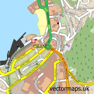
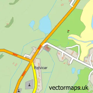
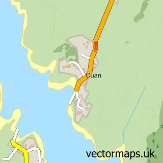
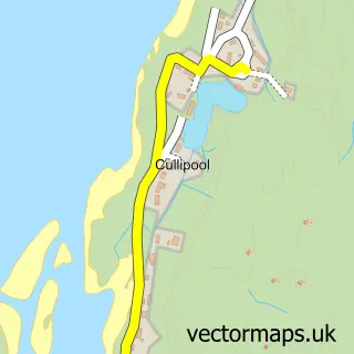
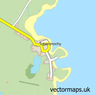
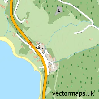
Nearby street map samples around Ellenabeich

More street maps in Argyll and Bute
750 metre map area coverage
Boundary, postcode and point of interest information for the 750m x 750m rectangle centred on this sample map.
Boundaries containing map centre
Constituency: Argyll, Bute and South Lochaber Co Const
District: Argyll and Bute
Icb: Highland
Postcode District: PA34
Postcode Sector: PA34 4
Ward: Oban North and Lorn Ward
Nearby boundaries intersecting sample
No additional intersecting boundaries found.
Postcode coverage
POI category counts
Bar: 1
Bed And Breakfast: 1
Beer Bar: 1
Blacksmiths: 1
Boat Rental And Training: 1
Boat Tours: 1
Cinema: 1
Community Center: 1
History Museum: 1
Hotel: 1
Sample points of interest
- Oyster Bar
- Garragh Mhor B&B
- The Oyster Bar and Restaurant
- The Georgian Forge
- Specialised Marine Support
- Seafari Adventures (Oban)
- Seil Community Cinema
- Seil Island Hall
- Easdale Island Folk Museum
- Insh Cottage
- Ellenabeich
- Slate Islands Heritage Trust Museum
Create a larger editable map of Ellenabeich
This sample shows only a 750 metre area. To create a larger map of Ellenabeich, use our map builder to choose your own coverage area, add titles and download editable SVG, PDF and PNG files.
Create a custom map of Ellenabeich