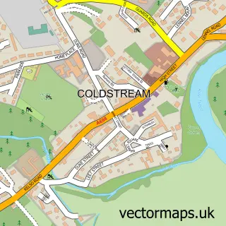
This Etal street map is a detailed vector street map covering a 750m x 750m area. Select a larger area to create and download your own vector street map of Etal.
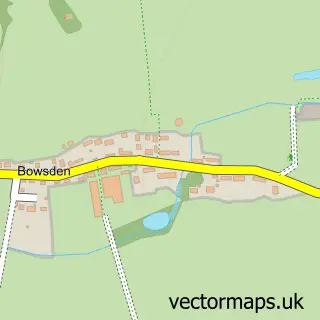
The 750-metre map sample for Etal covers 44 mapped buildings and approximately 10.9 km of road detail. The immediate area includes 1 pub. The wider area around Etal features 2 tourism points of interest and 2 food and drink venues. To create a larger or custom map of Etal, the map builder lets you define your own coverage area and download editable SVG, PDF and PNG files.
Create a larger editable map of Etal
Choose any area you need and generate a high-quality vector map instantly. Perfect for print, planning, design, business and personal use.

This Etal street map in Northumberland is available as downloadable SVG, PDF and PNG map files, or as a printed map for planning, business, display, education, local information and design work. You can also create a larger custom map area using the map selector.
What this Etal map sample shows
Etal lies within Ford Cp parish, part of Norham And Islandshires ward in the Northumberland local authority area. The postcode geography for this area includes the TD postcode area, the TD12 postcode district and the TD12 4 postcode sector. Residents fall under the Nhs North East And North Cumbria Integrated Care Board for NHS services.
Local features near Etal
Within 2 milesAmenities and services in and around Etal.
Administrative and postcode information for Etal
The local authority covering Etal is Northumberland, within the county of Northumberland. The settlement lies within Norham And Islandshires ward and Ford Cp civil parish. The TD12 postcode district and TD12 4 postcode sector serve the immediate area. NHS provision in the area is delivered through Northumbria Healthcare Nhs Foundation Trust.
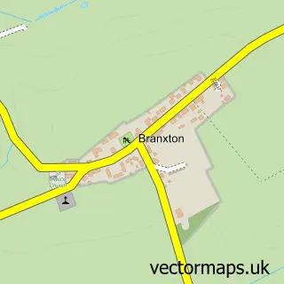
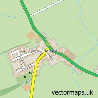
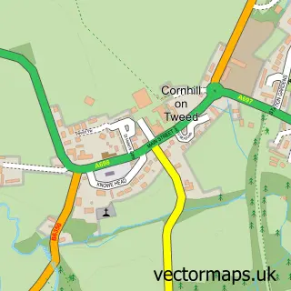
Nearby street map samples around Etal

More street maps in Northumberland
750 metre map area coverage
Boundary, postcode and point of interest information for the 750m x 750m rectangle centred on this sample map.
Boundaries containing map centre
Constituency: North Northumberland Co Const
District: Northumberland
Icb: NHS North East and North Cumbria ICB
Parish: Ford CP
Police Force: northumberland
Postcode District: TD12
Postcode Sector: TD12 4
Nearby boundaries intersecting sample
No additional intersecting boundaries found.
Postcode coverage
POI category counts
Anglican Church: 1
Attractions And Activities: 1
Castle: 1
Coffee Shop: 1
Community Center: 1
Furniture Store: 1
Naturopathic Holistic: 1
Post Office: 1
Professional Services: 1
Pub: 1
Sample points of interest
- The Chapel of the Blessed Virgin Mary, Etal
- Etal Castle
- Etal Castle
- The Lavender Tearooms
- Etal Village Hall
- S.W. Taylor and A.Green
- Amanda Hopper Holistic and Hypnotherapy
- Etal Post Office
- The Osprey Company
- The Black Bull
- Post Office-Etal
- Tillside Cricket Club
Create a larger editable map of Etal
This sample shows only a 750 metre area. To create a larger map of Etal, use our map builder to choose your own coverage area, add titles and download editable SVG, PDF and PNG files.
Create a custom map of Etal