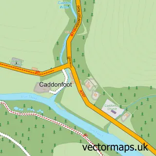
This Ettrickbridge street map is a detailed vector street map covering a 750m x 750m area. Select a larger area to create and download your own vector street map of Ettrickbridge.
The 750-metre map sample for Ettrickbridge covers 105 mapped buildings and approximately 5.3 km of road detail, of which 2 named roads are named. The immediate area includes 1 pub. The wider area around Ettrickbridge features 1 tourism point of interest, 1 food and drink venue and 1 hotel. To create a larger or custom map of Ettrickbridge, the map builder lets you define your own coverage area and download editable SVG, PDF and PNG files.
Create a larger editable map of Ettrickbridge
Choose any area you need and generate a high-quality vector map instantly. Perfect for print, planning, design, business and personal use.

This Ettrickbridge street map in Roxburgh, Ettrick and Lauderdale is available as downloadable SVG, PDF and PNG map files, or as a printed map for planning, business, display, education, local information and design work. You can also create a larger custom map area using the map selector.
What this Ettrickbridge map sample shows
Ettrickbridge lies within Scottish Borders parish, part of Selkirkshire ward in the Scottish Borders local authority area. The postcode geography for this area includes the TD postcode area, the TD7 postcode district and the TD7 5 postcode sector. Residents fall under the Borders for NHS services.
Local features near Ettrickbridge
Within 2 milesAmenities and services in and around Ettrickbridge.
Administrative and postcode information for Ettrickbridge
Ettrickbridge lies within Scottish Borders parish, part of Selkirkshire ward in the Scottish Borders local authority area. The postcode geography for this area includes the TD postcode area, the TD7 postcode district and the TD7 5 postcode sector. Residents fall under the Borders for NHS services.
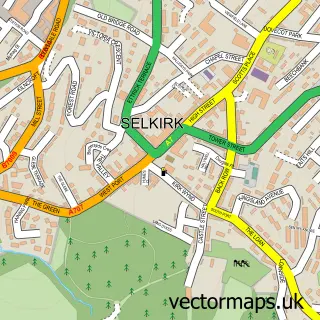
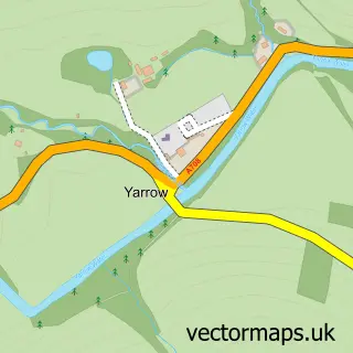
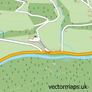
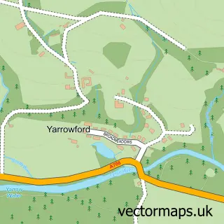
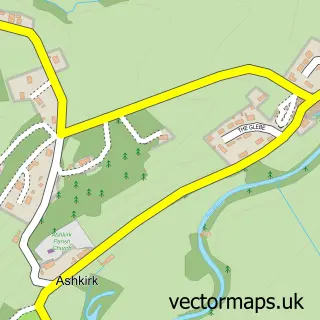
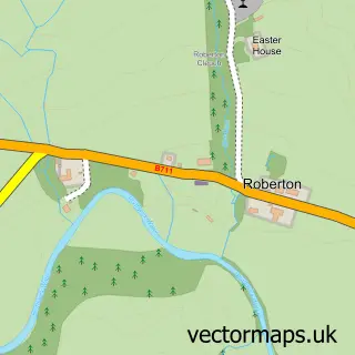
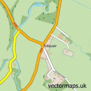
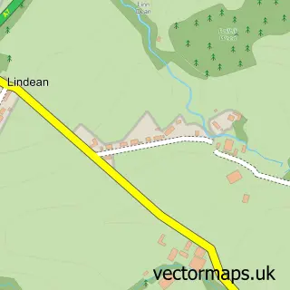
Nearby street map samples around Ettrickbridge

More street maps in Roxburgh, Ettrick and Lauderdale
750 metre map area coverage
Boundary, postcode and point of interest information for the 750m x 750m rectangle centred on this sample map.
Boundaries containing map centre
Constituency: Berwickshire, Roxburgh and Selkirk Co Const
District: Scottish Borders
Icb: Borders
Postcode District: TD7
Postcode Sector: TD7 5
Ward: Selkirkshire Ward
Nearby boundaries intersecting sample
No additional intersecting boundaries found.
Postcode coverage
POI category counts
Campground: 1
Catholic Church: 1
Elementary School: 1
Hotel: 1
Preschool: 1
Pub: 1
Rv Rentals: 1
Topic Concert Venue: 1
Sample points of interest
- Classic Camper Holidays
- Kirkhope Church
- Kirkhope Primary School
- The Green House, Woodend Rd, Selkirk
- Ettrick & Yarrow Playgroup
- Cross Keys Inn
- Classic Camper Holidays
- Kirkhope Parish Hall
Create a larger editable map of Ettrickbridge
This sample shows only a 750 metre area. To create a larger map of Ettrickbridge, use our map builder to choose your own coverage area, add titles and download editable SVG, PDF and PNG files.
Create a custom map of Ettrickbridge