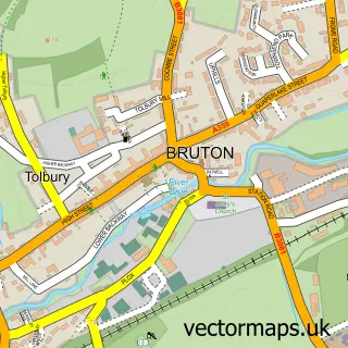
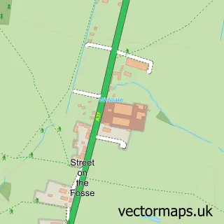
This Evercreech street map is a detailed vector street map covering a 750m x 750m area. Select a larger area to create and download your own vector street map of Evercreech.
The 750-metre map sample for Evercreech covers 319 mapped buildings and approximately 12.5 km of road detail, of which 28 named roads are named. The immediate area includes 1 pub and 3 MOT stations within 2 miles. The wider area around Evercreech features 1 food and drink venue. To create a larger or custom map of Evercreech, the map builder lets you define your own coverage area and download editable SVG, PDF and PNG files.
Create a larger editable map of Evercreech
Choose any area you need and generate a high-quality vector map instantly. Perfect for print, planning, design, business and personal use.

This Evercreech street map in Somerset is available as downloadable SVG, PDF and PNG map files, or as a printed map for planning, business, display, education, local information and design work. You can also create a larger custom map area using the map selector.
What this Evercreech map sample shows
Evercreech lies within Evercreech Cp parish, part of Creech ward in the Somerset local authority area. The postcode geography for this area includes the BA postcode area, the BA4 postcode district and the BA4 6 postcode sector. Residents fall under the Nhs Somerset Integrated Care Board for NHS services.
Local features near Evercreech
Within 2 milesAmenities and services in and around Evercreech.
Administrative and postcode information for Evercreech
Evercreech lies within Evercreech Cp parish, part of Creech ward in the Somerset local authority area. The postcode geography for this area includes the BA postcode area, the BA4 postcode district and the BA4 6 postcode sector. Residents fall under the Nhs Somerset Integrated Care Board for NHS services.
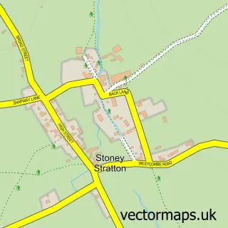
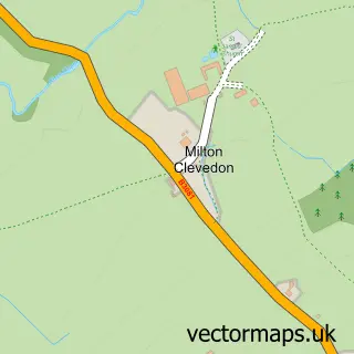
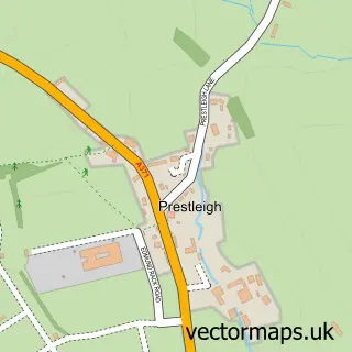
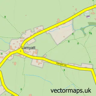
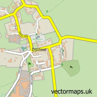
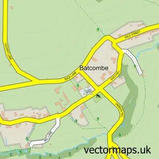
Nearby street map samples around Evercreech

More street maps in Somerset
750 metre map area coverage
Boundary, postcode and point of interest information for the 750m x 750m rectangle centred on this sample map.
Boundaries containing map centre
Constituency: Frome and East Somerset Co Const
District: Somerset
Icb: NHS Somerset ICB
Parish: Evercreech CP
Police Force: avon and somerset
Postcode District: BA4
Postcode Sector: BA4 6
Nearby boundaries intersecting sample
No additional intersecting boundaries found.
Postcode coverage
POI category counts
Anglican Church: 2
Assisted Living Facility: 2
Appliance Store: 1
Art School: 1
Atms: 1
Bakery: 1
Beauty Salon: 1
Bridal Shop: 1
Building Contractor: 1
Cabin: 1
Sample points of interest
- St Peter
- The Alham Vale Benefice
- Country Platters
- The Old Stores Studio
- Bupa Care Homes
- The Glen
- The Cooperative Food (BF) Evercreech, Evercreech
- Heathercreech Kitchen
- Melita Coiffure Evercreech
- Lucy Poppits
- Raymonds Parfitt
- Enniskerry - The Loves Cottage
Create a larger editable map of Evercreech
This sample shows only a 750 metre area. To create a larger map of Evercreech, use our map builder to choose your own coverage area, add titles and download editable SVG, PDF and PNG files.
Create a custom map of Evercreech