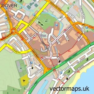
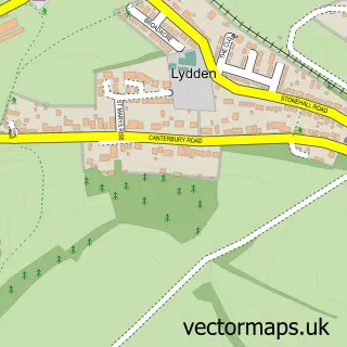
This Eythorne street map is a detailed vector street map covering a 750m x 750m area. Select a larger area to create and download your own vector street map of Eythorne.
The 750-metre map sample for Eythorne covers 418 mapped buildings and approximately 11.7 km of road detail, of which 25 named roads are named. The immediate area includes 1 school, 1 railway station, 1 pub and 1 MOT station. The wider area around Eythorne features 1 tourism point of interest and 2 food and drink venues. To create a larger or custom map of Eythorne, the map builder lets you define your own coverage area and download editable SVG, PDF and PNG files.
Create a larger editable map of Eythorne
Choose any area you need and generate a high-quality vector map instantly. Perfect for print, planning, design, business and personal use.

This Eythorne street map in Kent is available as downloadable SVG, PDF and PNG map files, or as a printed map for planning, business, display, education, local information and design work. You can also create a larger custom map area using the map selector.
What this Eythorne map sample shows
Eythorne lies within Eythorne Cp parish, part of Aylesham, Eythorne & Shepherdswell ward in the Dover District local authority area. The postcode geography for this area includes the CT postcode area, the CT15 postcode district and the CT15 4 postcode sector. Residents fall under the Nhs Kent And Medway Integrated Care Board for NHS services.
Local features near Eythorne
Within 2 milesAmenities and services in and around Eythorne.
Administrative and postcode information for Eythorne
The local authority covering Eythorne is Dover District, within the county of Kent. The settlement lies within Aylesham, Eythorne & Shepherdswell ward and Eythorne Cp civil parish. The CT15 postcode district and CT15 4 postcode sector serve the immediate area. NHS provision in the area is delivered through East Kent Hospitals University Nhs Foundation Trust.
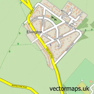
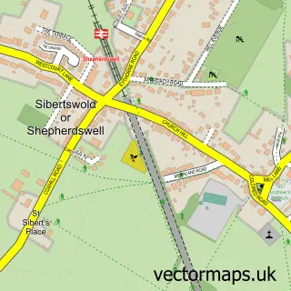
Nearby street map samples around Eythorne

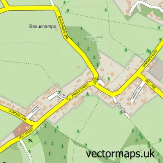
More street maps in Kent
750 metre map area coverage
Boundary, postcode and point of interest information for the 750m x 750m rectangle centred on this sample map.
Boundaries containing map centre
Constituency: Dover and Deal Co Const
County: Kent County
District: Dover District
Icb: NHS Kent and Medway ICB
Parish: Eythorne CP
Police Force: kent
Postcode District: CT15
Postcode Sector: CT15 4
Ward: Aylesham, Eythorne & Shepherdswell Ward
Nearby boundaries intersecting sample
No additional intersecting boundaries found.
Postcode coverage
POI category counts
Post Office: 3
Train Station: 3
Accommodation: 1
Anglican Church: 1
Assisted Living Facility: 1
Auto Body Shop: 1
Baptist Church: 1
Building Supply Store: 1
Ceiling Service: 1
Contractor: 1
Sample points of interest
- Eythorne Village
- St Peter & St Paul Eythorne and Elvington with Waldershare
- Cana L'arch Kent
- Eythorne Garage Services
- Eythorne Baptist Church
- Screedfast Limited
- Renowned Roofing Contractors
- Eythorne Building Contractors
- Eyethorne Village Store
- Moss School of Motoring
- Eythorne Elvington Primary School
- Casey engineering
Create a larger editable map of Eythorne
This sample shows only a 750 metre area. To create a larger map of Eythorne, use our map builder to choose your own coverage area, add titles and download editable SVG, PDF and PNG files.
Create a custom map of Eythorne