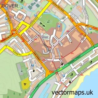
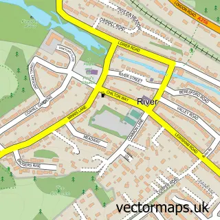
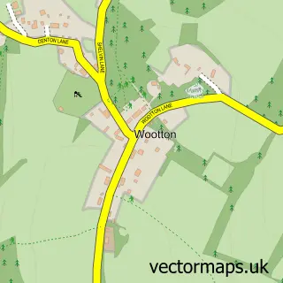
This Lydden street map is a detailed vector street map covering a 750m x 750m area. Select a larger area to create and download your own vector street map of Lydden.
The 750-metre map sample for Lydden covers 209 mapped buildings and approximately 8.3 km of road detail, of which 7 named roads are named. The immediate area includes 1 school, 1 GP surgery and 3 MOT stations within 2 miles. To create a larger or custom map of Lydden, the map builder lets you define your own coverage area and download editable SVG, PDF and PNG files.
Create a larger editable map of Lydden
Choose any area you need and generate a high-quality vector map instantly. Perfect for print, planning, design, business and personal use.

This Lydden street map in Kent is available as downloadable SVG, PDF and PNG map files, or as a printed map for planning, business, display, education, local information and design work. You can also create a larger custom map area using the map selector.
What this Lydden map sample shows
Lydden lies within Lydden Cp parish, part of Dover Downs & River ward in the Dover District local authority area. The postcode geography for this area includes the CT postcode area, the CT15 postcode district and the CT15 7 postcode sector. Residents fall under the Nhs Kent And Medway Integrated Care Board for NHS services.
Local features near Lydden
Within 2 milesAmenities and services in and around Lydden.
Administrative and postcode information for Lydden
The local authority covering Lydden is Dover District, within the county of Kent. The settlement lies within Dover Downs & River ward and Lydden Cp civil parish. The CT15 postcode district and CT15 7 postcode sector serve the immediate area. NHS provision in the area is delivered through East Kent Hospitals University Nhs Foundation Trust.
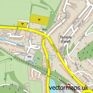
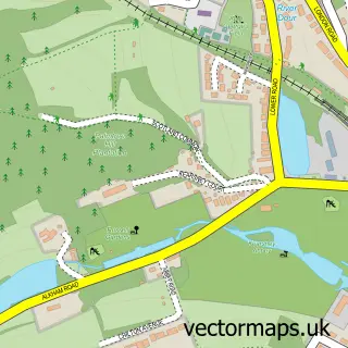
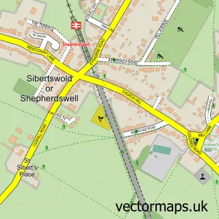
Nearby street map samples around Lydden

More street maps in Kent
750 metre map area coverage
Boundary, postcode and point of interest information for the 750m x 750m rectangle centred on this sample map.
Boundaries containing map centre
Constituency: Dover and Deal Co Const
County: Kent County
District: Dover District
Icb: NHS Kent and Medway ICB
Parish: Lydden CP
Police Force: kent
Postcode District: CT15
Postcode Sector: CT15 7
Ward: Dover Downs & River Ward
Nearby boundaries intersecting sample
No additional intersecting boundaries found.
Postcode coverage
POI category counts
Church Cathedral: 2
Advertising Agency: 1
Building Supply Store: 1
Car Dealer: 1
Doctor: 1
Elementary School: 1
Financial Advising: 1
Furniture Assembly: 1
Furniture Store: 1
Home Developer: 1
Sample points of interest
- Colin Hoyle Printers
- Kent Landscaping
- Kars of Lydden
- St Mary's - Lydden Village Church
- The Living Well Church
- Lydden Surgery
- Lydden Primary School
- Meridian Financial Planning
- Heyday Upholstery
- Minus Fine Furniture
- Pentland Homes - Lydden Hills
- Tots 2 Teens
Create a larger editable map of Lydden
This sample shows only a 750 metre area. To create a larger map of Lydden, use our map builder to choose your own coverage area, add titles and download editable SVG, PDF and PNG files.
Create a custom map of Lydden