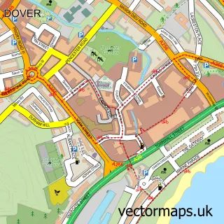
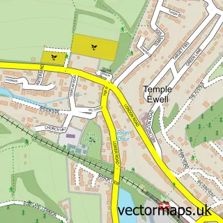
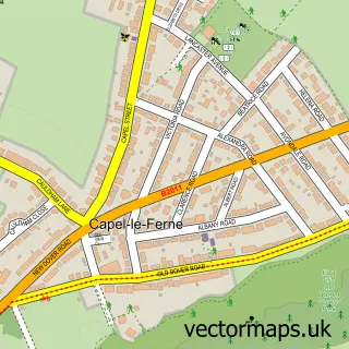
This Kearsney street map is a detailed vector street map covering a 750m x 750m area. Select a larger area to create and download your own vector street map of Kearsney.
The 750-metre map sample for Kearsney covers 138 mapped buildings and approximately 7.3 km of road detail, of which 12 named roads are named. The immediate area includes 1 school, 2 GP surgeries within 2 miles and 9 MOT stations within 2 miles. The wider area around Kearsney features 4 tourism points of interest and 1 food and drink venue. To create a larger or custom map of Kearsney, the map builder lets you define your own coverage area and download editable SVG, PDF and PNG files.
Create a larger editable map of Kearsney
Choose any area you need and generate a high-quality vector map instantly. Perfect for print, planning, design, business and personal use.

This Kearsney street map in Kent is available as downloadable SVG, PDF and PNG map files, or as a printed map for planning, business, display, education, local information and design work. You can also create a larger custom map area using the map selector.
What this Kearsney map sample shows
Kearsney lies within River Cp parish, part of Dover Downs & River ward in the Dover District local authority area. The postcode geography for this area includes the CT postcode area, the CT17 postcode district and the CT17 0 postcode sector. Residents fall under the Nhs Kent And Medway Integrated Care Board for NHS services.
Local features near Kearsney
Within 2 milesAmenities and services in and around Kearsney.
Administrative and postcode information for Kearsney
Kearsney lies within River Cp parish, part of Dover Downs & River ward in the Dover District local authority area. The postcode geography for this area includes the CT postcode area, the CT17 postcode district and the CT17 0 postcode sector. Residents fall under the Nhs Kent And Medway Integrated Care Board for NHS services.
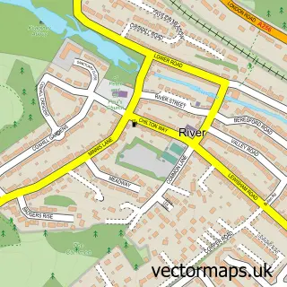
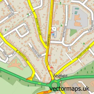
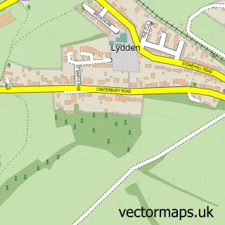
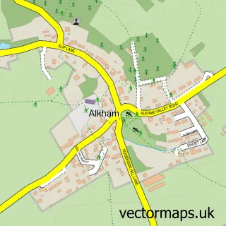
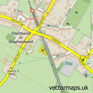
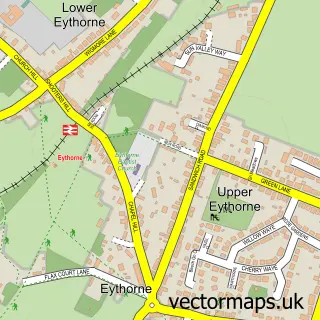
Nearby street map samples around Kearsney

More street maps in Kent
750 metre map area coverage
Boundary, postcode and point of interest information for the 750m x 750m rectangle centred on this sample map.
Boundaries containing map centre
Constituency: Dover and Deal Co Const
County: Kent County
District: Dover District
Icb: NHS Kent and Medway ICB
Parish: Temple Ewell CP
Police Force: kent
Postcode District: CT16
Postcode Sector: CT16 3
Ward: Dover Downs & River Ward
Nearby boundaries intersecting sample
Parish: Alkham CP, River CP
Postcode District: CT17
Postcode Sector: CT17 0
Ward: Alkham & Capel-le-Ferne Ward
Postcode coverage
POI category counts
Park: 4
Assisted Living Facility: 1
Cafe: 1
Construction Services: 1
Corporate Office: 1
Dance Club: 1
Driving School: 1
Education: 1
Elementary School: 1
Gardener: 1
Sample points of interest
- Temple Ewell Nursing Home
- Kearsney cafe
- Deal Scaffolding
- Site With Byte
- Old Boys Social Club
- Trudy's Driving School
- Sallygate School
- Temple Ewell Church of England Primary School
- Dover Gardening Services
- Ivy Bank
- Dimeto
- Bushy Ruff Country Park
Create a larger editable map of Kearsney
This sample shows only a 750 metre area. To create a larger map of Kearsney, use our map builder to choose your own coverage area, add titles and download editable SVG, PDF and PNG files.
Create a custom map of Kearsney