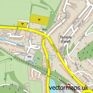
This Capel-le-Ferne street map is a detailed vector street map covering a 750m x 750m area. Select a larger area to create and download your own vector street map of Capel-le-Ferne.
The 750-metre map sample for Capel-le-Ferne covers 431 mapped buildings and approximately 15.1 km of road detail, of which 16 named roads are named. The immediate area includes 2 GP surgeries within 2 miles and 1 MOT station, with 6 within 2 miles. The wider area around Capel-le-Ferne features 3 campsites within 2 miles. To create a larger or custom map of Capel-le-Ferne, the map builder lets you define your own coverage area and download editable SVG, PDF and PNG files.
Create a larger editable map of Capel-le-Ferne
Choose any area you need and generate a high-quality vector map instantly. Perfect for print, planning, design, business and personal use.

This Capel-le-Ferne street map in Kent is available as downloadable SVG, PDF and PNG map files, or as a printed map for planning, business, display, education, local information and design work. You can also create a larger custom map area using the map selector.
What this Capel-le-Ferne map sample shows
Capel-le-Ferne lies within Capel-Le-Ferne Cp parish, part of Alkham & Capel-Le-Ferne ward in the Dover District local authority area. The postcode geography for this area includes the CT postcode area, the CT18 postcode district and the CT18 7 postcode sector. Residents fall under the Nhs Kent And Medway Integrated Care Board for NHS services.
Local features near Capel-le-Ferne
Within 2 milesAmenities and services in and around Capel-le-Ferne.
Administrative and postcode information for Capel-le-Ferne
Capel-le-Ferne lies within Capel-Le-Ferne Cp parish, part of Alkham & Capel-Le-Ferne ward in the Dover District local authority area. The postcode geography for this area includes the CT postcode area, the CT18 postcode district and the CT18 7 postcode sector. Residents fall under the Nhs Kent And Medway Integrated Care Board for NHS services.
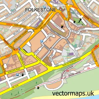
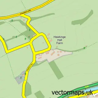
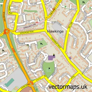
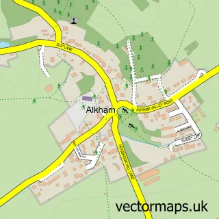
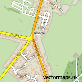
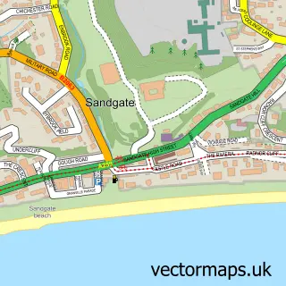
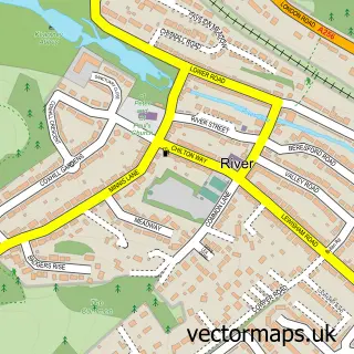
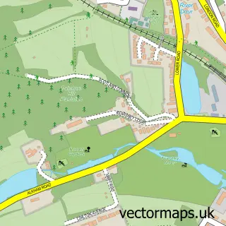
Nearby street map samples around Capel-le-Ferne

More street maps in Kent
750 metre map area coverage
Boundary, postcode and point of interest information for the 750m x 750m rectangle centred on this sample map.
Boundaries containing map centre
Constituency: Dover and Deal Co Const
County: Kent County
District: Dover District
Icb: NHS Kent and Medway ICB
Parish: Capel-le-Ferne CP
Police Force: kent
Postcode District: CT18
Postcode Sector: CT18 7
Ward: Alkham & Capel-le-Ferne Ward
Nearby boundaries intersecting sample
Constituency: Folkestone and Hythe Co Const
District: Folkestone and Hythe District
Parish: Folkestone CP
Ward: Folkestone Harbour Ward
Postcode coverage
POI category counts
Automotive Repair: 2
Farmers Market: 2
Gardener: 2
It Service And Computer Repair: 2
Retirement Home: 2
Anglican Church: 1
Bakery: 1
Beauty Salon: 1
Charity Organization: 1
Community Center: 1
Sample points of interest
- St Radigund
- Capel Garage
- RRmotors
- A Spoonful of Sugar Bespoke cakes
- VietHouse Spa-Capel, Folkestone
- Parkinson's Disease Society
- Capel Village Hall
- Capel Playgroup
- Seaview Voyage Care
- Electrichall
- Capel Le Ferne Farmers Market
- Capel-le-Ferne Farmers Market
Create a larger editable map of Capel-le-Ferne
This sample shows only a 750 metre area. To create a larger map of Capel-le-Ferne, use our map builder to choose your own coverage area, add titles and download editable SVG, PDF and PNG files.
Create a custom map of Capel-le-Ferne