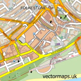
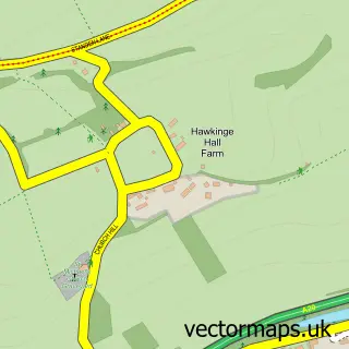
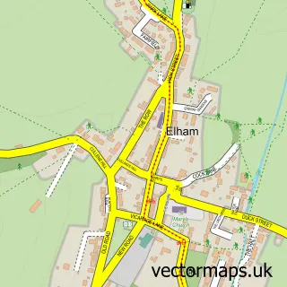
This Hawkinge street map is a detailed vector street map covering a 750m x 750m area. Select a larger area to create and download your own vector street map of Hawkinge.
The 750-metre map sample for Hawkinge covers 624 mapped buildings and approximately 21.4 km of road detail, of which 47 named roads are named. The immediate area includes 2 schools, 1 GP surgery within 2 miles, 1 pub and 1 MOT station, with 4 within 2 miles. The wider area around Hawkinge features 3 food and drink venues, 1 hotel and 3 campsites within 2 miles. To create a larger or custom map of Hawkinge, the map builder lets you define your own coverage area and download editable SVG, PDF and PNG files.
Create a larger editable map of Hawkinge
Choose any area you need and generate a high-quality vector map instantly. Perfect for print, planning, design, business and personal use.

This Hawkinge street map in Kent is available as downloadable SVG, PDF and PNG map files, or as a printed map for planning, business, display, education, local information and design work. You can also create a larger custom map area using the map selector.
What this Hawkinge map sample shows
Hawkinge lies within Hawkinge Cp parish, part of North Downs East ward in the Folkestone And Hythe District local authority area. The postcode geography for this area includes the CT postcode area, the CT18 postcode district and the CT18 7 postcode sector. Residents fall under the Nhs Kent And Medway Integrated Care Board for NHS services.
Local features near Hawkinge
Within 2 milesAmenities and services in and around Hawkinge.
Administrative and postcode information for Hawkinge
The local authority covering Hawkinge is Folkestone And Hythe District, within the county of Kent. The settlement lies within North Downs East ward and Hawkinge Cp civil parish. The CT18 postcode district and CT18 7 postcode sector serve the immediate area. NHS provision in the area is delivered through East Kent Hospitals University Nhs Foundation Trust.
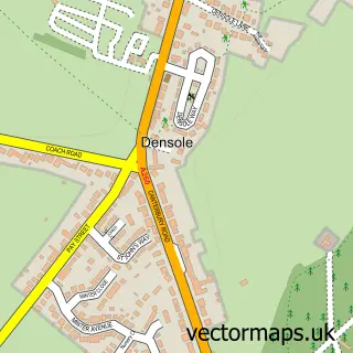
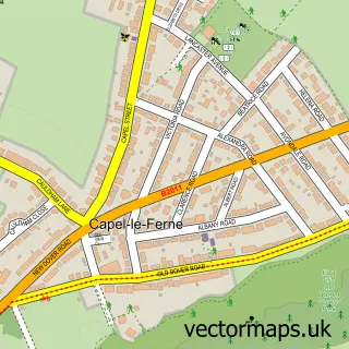
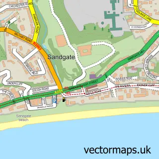
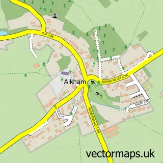
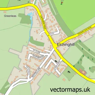
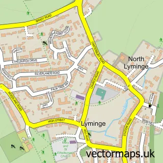
Nearby street map samples around Hawkinge

More street maps in Kent
750 metre map area coverage
Boundary, postcode and point of interest information for the 750m x 750m rectangle centred on this sample map.
Boundaries containing map centre
Constituency: Ashford Co Const
County: Kent County
District: Folkestone and Hythe District
Icb: NHS Kent and Medway ICB
Parish: Hawkinge CP
Police Force: kent
Postcode District: CT18
Postcode Sector: CT18 7
Ward: North Downs East Ward
Nearby boundaries intersecting sample
No additional intersecting boundaries found.
Postcode coverage
POI category counts
Building Supply Store: 3
Community Center: 3
Elementary School: 3
Beauty Salon: 2
Dentist: 2
Gas Station: 2
Gym: 2
Metal Supplier: 2
Post Office: 2
Preschool: 2
Sample points of interest
- Young's Accountancy Services
- St. Luke's Lighthouse Church, Hawkinge
- Tesco Bank
- NatWest
- Hawkinge Baptist Church
- Lloyd Adams Barbers
- Aesthetics By Faye
- Salon Ninety9
- Broadwood Landscapes
- Elite Flooring
- Kent Boiler Group
- AdminBeagle Virtual Assistant
Create a larger editable map of Hawkinge
This sample shows only a 750 metre area. To create a larger map of Hawkinge, use our map builder to choose your own coverage area, add titles and download editable SVG, PDF and PNG files.
Create a custom map of Hawkinge