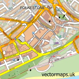
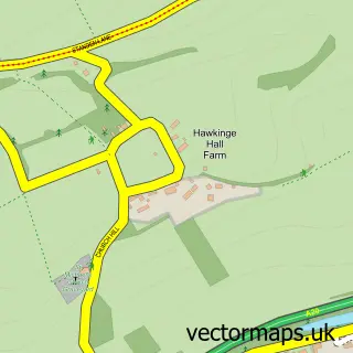
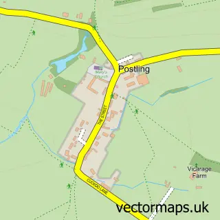
This Sandgate street map is a detailed vector street map covering a 750m x 750m area. Select a larger area to create and download your own vector street map of Sandgate.
The 750-metre map sample for Sandgate covers 216 mapped buildings and approximately 12.6 km of road detail, of which 26 named roads are named. The immediate area includes 1 school, 6 GP surgeries within 2 miles, 4 pubs and 14 MOT stations within 2 miles. The wider area around Sandgate features 3 tourism points of interest, 11 food and drink venues and 1 hotel. To create a larger or custom map of Sandgate, the map builder lets you define your own coverage area and download editable SVG, PDF and PNG files.
Create a larger editable map of Sandgate
Choose any area you need and generate a high-quality vector map instantly. Perfect for print, planning, design, business and personal use.

This Sandgate street map in Kent is available as downloadable SVG, PDF and PNG map files, or as a printed map for planning, business, display, education, local information and design work. You can also create a larger custom map area using the map selector.
What this Sandgate map sample shows
Sandgate lies within Sandgate Cp parish, part of Sandgate & West Folkestone ward in the Folkestone And Hythe District local authority area. The postcode geography for this area includes the CT postcode area, the CT20 postcode district and the CT20 3 postcode sector. Residents fall under the Nhs Kent And Medway Integrated Care Board for NHS services.
Local features near Sandgate
Within 2 milesAmenities and services in and around Sandgate.
Administrative and postcode information for Sandgate
Sandgate lies within Sandgate Cp parish, part of Sandgate & West Folkestone ward in the Folkestone And Hythe District local authority area. The postcode geography for this area includes the CT postcode area, the CT20 postcode district and the CT20 3 postcode sector. Residents fall under the Nhs Kent And Medway Integrated Care Board for NHS services.
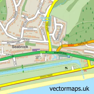
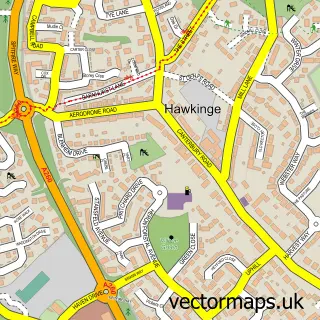
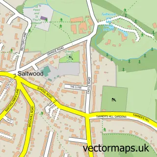
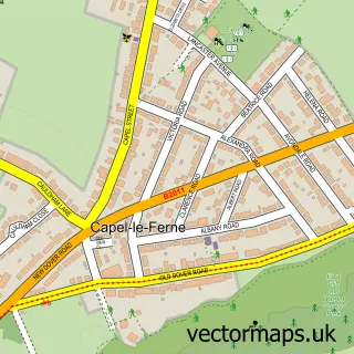
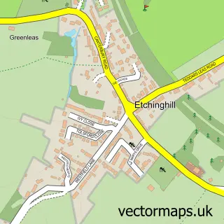
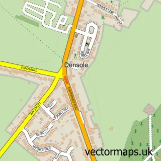
Nearby street map samples around Sandgate

More street maps in Kent
750 metre map area coverage
Boundary, postcode and point of interest information for the 750m x 750m rectangle centred on this sample map.
Boundaries containing map centre
Constituency: Folkestone and Hythe Co Const
County: Kent County
District: Folkestone and Hythe District
Icb: NHS Kent and Medway ICB
Parish: Sandgate CP
Police Force: kent
Postcode District: CT20
Postcode Sector: CT20 3
Ward: Sandgate & West Folkestone Ward
Nearby boundaries intersecting sample
Parish: Folkestone CP
Postcode Sector: CT20 2
Postcode coverage
POI category counts
Professional Services: 5
Pub: 4
Antique Store: 3
Cafe: 3
Retirement Home: 3
Assisted Living Facility: 2
Bar: 2
Beauty Product Supplier: 2
Bicycle Shop: 2
Coffee Shop: 2
Sample points of interest
- Conscioushealth Clinic
- St Paul's Church, Sandgate, Part of the Trinity Benefice
- Fabulous Nellies, Sandgate
- Old English Pine
- Pareglio & Ayres Antiques, Sandgate
- MNP Complete Care Group
- Victoria Nursing Homes
- The Village Shop (Link DC), Sandgate
- Sandgate Community Garden
- Docker Bar
- Sandgate Vaults
- Canning's
Create a larger editable map of Sandgate
This sample shows only a 750 metre area. To create a larger map of Sandgate, use our map builder to choose your own coverage area, add titles and download editable SVG, PDF and PNG files.
Create a custom map of Sandgate