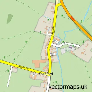
This Saltwood street map is a detailed vector street map covering a 750m x 750m area. Select a larger area to create and download your own vector street map of Saltwood.
The 750-metre map sample for Saltwood covers 320 mapped buildings and approximately 13.4 km of road detail, of which 20 named roads are named. The immediate area includes 1 school, 2 GP surgeries within 2 miles and 3 MOT stations within 2 miles. The wider area around Saltwood features 2 tourism points of interest and 1 hotel. To create a larger or custom map of Saltwood, the map builder lets you define your own coverage area and download editable SVG, PDF and PNG files.
Create a larger editable map of Saltwood
Choose any area you need and generate a high-quality vector map instantly. Perfect for print, planning, design, business and personal use.

This Saltwood street map in Kent is available as downloadable SVG, PDF and PNG map files, or as a printed map for planning, business, display, education, local information and design work. You can also create a larger custom map area using the map selector.
What this Saltwood map sample shows
Saltwood lies within Saltwood Cp parish, part of Hythe ward in the Folkestone And Hythe District local authority area. The postcode geography for this area includes the CT postcode area, the CT21 postcode district and the CT21 4 postcode sector. Residents fall under the Nhs Kent And Medway Integrated Care Board for NHS services.
Local features near Saltwood
Within 2 milesAmenities and services in and around Saltwood.
Administrative and postcode information for Saltwood
The local authority covering Saltwood is Folkestone And Hythe District, within the county of Kent. The settlement lies within Hythe ward and Saltwood Cp civil parish. The CT21 postcode district and CT21 4 postcode sector serve the immediate area. NHS provision in the area is delivered through East Kent Hospitals University Nhs Foundation Trust.
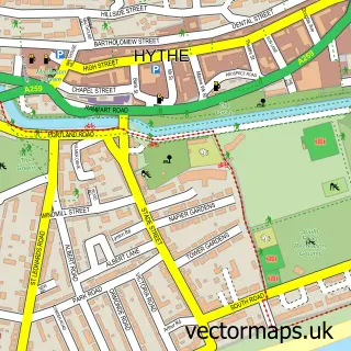
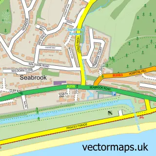
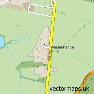
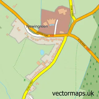
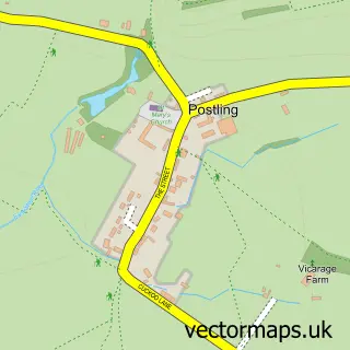
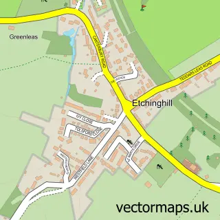
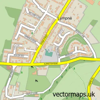
Nearby street map samples around Saltwood

More street maps in Kent
750 metre map area coverage
Boundary, postcode and point of interest information for the 750m x 750m rectangle centred on this sample map.
Boundaries containing map centre
Constituency: Folkestone and Hythe Co Const
County: Kent County
District: Folkestone and Hythe District
Icb: NHS Kent and Medway ICB
Parish: Saltwood CP
Police Force: kent
Postcode District: CT21
Postcode Sector: CT21 4
Ward: Hythe Ward
Nearby boundaries intersecting sample
Parish: Hythe CP
Postcode Sector: CT21 5
Postcode coverage
POI category counts
Professional Services: 3
Church Cathedral: 2
Home Service: 2
Retirement Home: 2
Advertising Agency: 1
Anglican Church: 1
Bakery: 1
Castle: 1
Community Center: 1
Cricket Ground: 1
Sample points of interest
- Inki Pinki Cards
- St Peter & St Paul
- Friday Treats
- Saltwood Castle
- Church of St. Peter & St. Paul
- The Lads' Club
- Saltwood Village Hall
- Saltwood Cricket Club
- Saltwood C of E Primary School
- Buko Bento
- Paul Thompson Tree Surgery & Fencing
- Children's Groups at Lympne and Saltwood Churches
Create a larger editable map of Saltwood
This sample shows only a 750 metre area. To create a larger map of Saltwood, use our map builder to choose your own coverage area, add titles and download editable SVG, PDF and PNG files.
Create a custom map of Saltwood