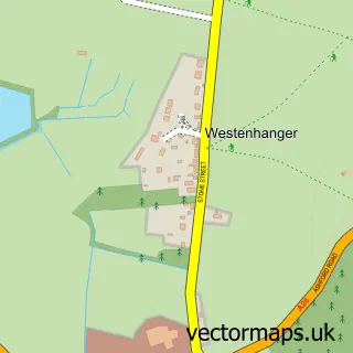
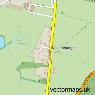
This Newingreen street map is a detailed vector street map covering a 750m x 750m area. Select a larger area to create and download your own vector street map of Newingreen.
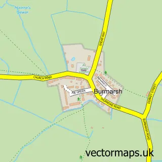
The 750-metre map sample for Newingreen covers 64 mapped buildings and approximately 8.1 km of road detail, of which 3 named roads are named. The immediate area includes 1 GP surgery within 2 miles and 3 MOT stations within 2 miles. The wider area around Newingreen features 1 tourism point of interest and 2 campsites within 2 miles. To create a larger or custom map of Newingreen, the map builder lets you define your own coverage area and download editable SVG, PDF and PNG files.
Create a larger editable map of Newingreen
Choose any area you need and generate a high-quality vector map instantly. Perfect for print, planning, design, business and personal use.

This Newingreen street map in Kent is available as downloadable SVG, PDF and PNG map files, or as a printed map for planning, business, display, education, local information and design work. You can also create a larger custom map area using the map selector.
What this Newingreen map sample shows
Newingreen lies within Lympne Cp parish, part of Hythe Rural ward in the Folkestone And Hythe District local authority area. The postcode geography for this area includes the CT postcode area, the CT21 postcode district and the CT21 4 postcode sector. Residents fall under the Nhs Kent And Medway Integrated Care Board for NHS services.
Local features near Newingreen
Within 2 milesAmenities and services in and around Newingreen.
Administrative and postcode information for Newingreen
Newingreen lies within Lympne Cp parish, part of Hythe Rural ward in the Folkestone And Hythe District local authority area. The postcode geography for this area includes the CT postcode area, the CT21 postcode district and the CT21 4 postcode sector. Residents fall under the Nhs Kent And Medway Integrated Care Board for NHS services.
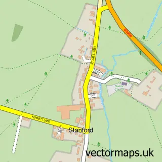
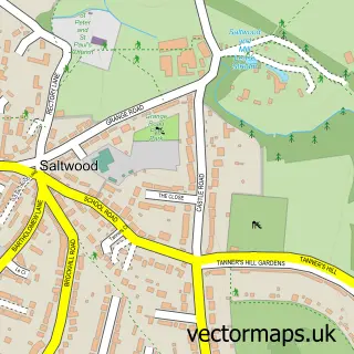
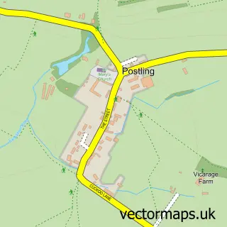
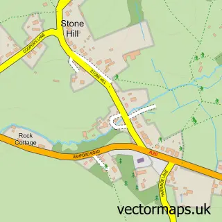
Nearby street map samples around Newingreen
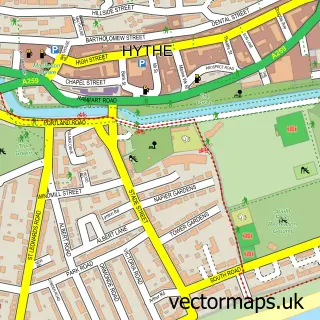

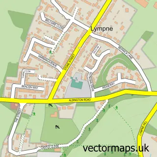
More street maps in Kent
750 metre map area coverage
Boundary, postcode and point of interest information for the 750m x 750m rectangle centred on this sample map.
Boundaries containing map centre
Constituency: Folkestone and Hythe Co Const
County: Kent County
District: Folkestone and Hythe District
Icb: NHS Kent and Medway ICB
Parish: Lympne CP
Police Force: kent
Postcode District: CT21
Postcode Sector: CT21 4
Ward: Hythe Rural Ward
Nearby boundaries intersecting sample
Constituency: Ashford Co Const
Parish: Saltwood CP, Stanford CP
Ward: Hythe Ward, North Downs West Ward
Postcode coverage
POI category counts
Land Surveying: 2
Bridal Shop: 1
Chiropractor: 1
Computer Hardware Company: 1
Event Planning: 1
Graphic Designer: 1
Home Health Care: 1
Landmark And Historical Building: 1
Parking: 1
Real Estate Agent: 1
Sample points of interest
- The Red Balloon
- The Optimal Care Clinic
- Iconology Ltd
- The Castle Westenhanger
- Oak Creative
- Papillon Home Care Ltd.
- Clifford Rickards Associates
- Corner Stone Surveys
- Newingreen
- B C P
- The Good Estate Agent
- Lenny's Studio
Create a larger editable map of Newingreen
This sample shows only a 750 metre area. To create a larger map of Newingreen, use our map builder to choose your own coverage area, add titles and download editable SVG, PDF and PNG files.
Create a custom map of Newingreen