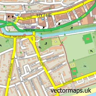
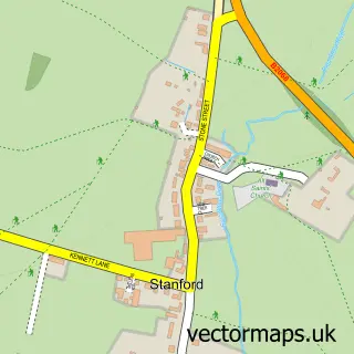
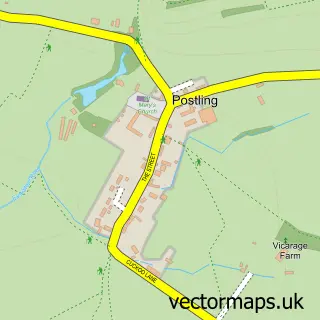
This Lympne street map is a detailed vector street map covering a 750m x 750m area. Select a larger area to create and download your own vector street map of Lympne.
The 750-metre map sample for Lympne covers 350 mapped buildings and approximately 11.8 km of road detail, of which 14 named roads are named. The immediate area includes 1 school, 2 pubs and 3 MOT stations within 2 miles. The wider area around Lympne features 2 food and drink venues, 1 hotel and 1 campsite within 2 miles. To create a larger or custom map of Lympne, the map builder lets you define your own coverage area and download editable SVG, PDF and PNG files.
Create a larger editable map of Lympne
Choose any area you need and generate a high-quality vector map instantly. Perfect for print, planning, design, business and personal use.

This Lympne street map in Kent is available as downloadable SVG, PDF and PNG map files, or as a printed map for planning, business, display, education, local information and design work. You can also create a larger custom map area using the map selector.
What this Lympne map sample shows
Lympne lies within Lympne Cp parish, part of Hythe Rural ward in the Folkestone And Hythe District local authority area. The postcode geography for this area includes the CT postcode area, the CT21 postcode district and the CT21 4 postcode sector. Residents fall under the Nhs Kent And Medway Integrated Care Board for NHS services.
Local features near Lympne
Within 2 milesAmenities and services in and around Lympne.
Administrative and postcode information for Lympne
The local authority covering Lympne is Folkestone And Hythe District, within the county of Kent. The settlement lies within Hythe Rural ward and Lympne Cp civil parish. The CT21 postcode district and CT21 4 postcode sector serve the immediate area. NHS provision in the area is delivered through East Kent Hospitals University Nhs Foundation Trust.
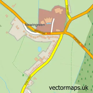
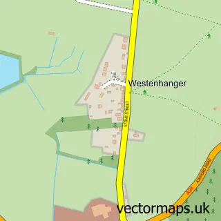
Nearby street map samples around Lympne

More street maps in Kent
750 metre map area coverage
Boundary, postcode and point of interest information for the 750m x 750m rectangle centred on this sample map.
Boundaries containing map centre
Constituency: Folkestone and Hythe Co Const
County: Kent County
District: Folkestone and Hythe District
Icb: NHS Kent and Medway ICB
Parish: Lympne CP
Police Force: kent
Postcode District: CT21
Postcode Sector: CT21 4
Ward: Hythe Rural Ward
Nearby boundaries intersecting sample
Parish: Hythe CP
Postcode coverage
POI category counts
Bed And Breakfast: 2
Church Cathedral: 2
Driving School: 2
Flooring Contractors: 2
Professional Services: 2
Pub: 2
Roofing: 2
Beauty And Spa: 1
Beauty Product Supplier: 1
Business Management Services: 1
Sample points of interest
- Faceology Academy
- Gems Lympneted
- Corner House Bed & Breakfast
- Eulalia
- Lympne Post Office
- Lymphe Church
- St Stephen's Church
- Lympne Village Hall
- The Tilly Register
- P3 Dance Academy
- Nigel Slater Driving School
- Slater Nigel
Create a larger editable map of Lympne
This sample shows only a 750 metre area. To create a larger map of Lympne, use our map builder to choose your own coverage area, add titles and download editable SVG, PDF and PNG files.
Create a custom map of Lympne