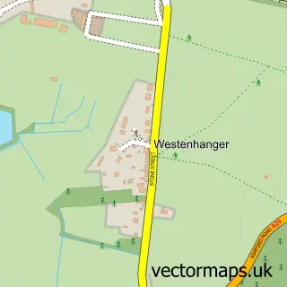
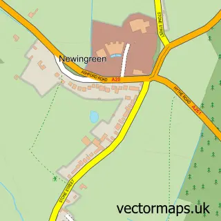
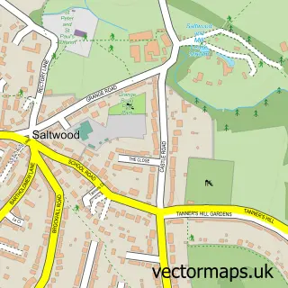
This Stanford street map is a detailed vector street map covering a 750m x 750m area. Select a larger area to create and download your own vector street map of Stanford.
The 750-metre map sample for Stanford covers 83 mapped buildings and approximately 7.9 km of road detail, of which 5 named roads are named. The immediate area includes 1 GP surgery within 2 miles and 1 pub. The wider area around Stanford features 1 tourism point of interest, 1 food and drink venue and 1 campsite within 2 miles. To create a larger or custom map of Stanford, the map builder lets you define your own coverage area and download editable SVG, PDF and PNG files.
Create a larger editable map of Stanford
Choose any area you need and generate a high-quality vector map instantly. Perfect for print, planning, design, business and personal use.

This Stanford street map in Kent is available as downloadable SVG, PDF and PNG map files, or as a printed map for planning, business, display, education, local information and design work. You can also create a larger custom map area using the map selector.
What this Stanford map sample shows
Stanford lies within Stanford Cp parish, part of North Downs West ward in the Folkestone And Hythe District local authority area. The postcode geography for this area includes the TN postcode area, the TN25 postcode district and the TN25 6 postcode sector. Residents fall under the Nhs Kent And Medway Integrated Care Board for NHS services.
Local features near Stanford
Within 2 milesAmenities and services in and around Stanford.
Administrative and postcode information for Stanford
Stanford lies within Stanford Cp parish, part of North Downs West ward in the Folkestone And Hythe District local authority area. The postcode geography for this area includes the TN postcode area, the TN25 postcode district and the TN25 6 postcode sector. Residents fall under the Nhs Kent And Medway Integrated Care Board for NHS services.
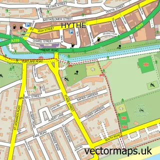
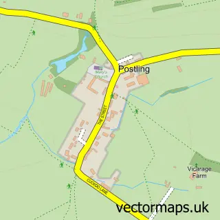
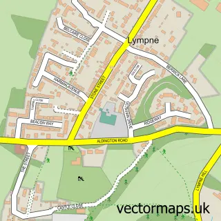
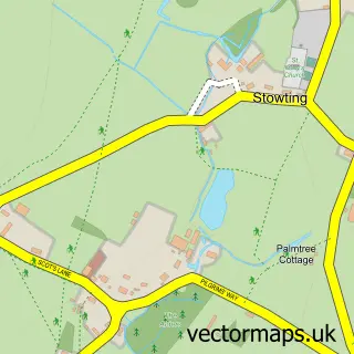
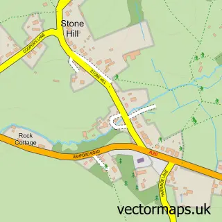
Nearby street map samples around Stanford

More street maps in Kent
750 metre map area coverage
Boundary, postcode and point of interest information for the 750m x 750m rectangle centred on this sample map.
Boundaries containing map centre
Constituency: Ashford Co Const
County: Kent County
District: Folkestone and Hythe District
Icb: NHS Kent and Medway ICB
Parish: Stanford CP
Police Force: kent
Postcode District: TN25
Postcode Sector: TN25 6
Ward: North Downs West Ward
Nearby boundaries intersecting sample
No additional intersecting boundaries found.
Postcode coverage
POI category counts
Advertising Agency: 1
Airlines: 1
Anglican Church: 1
Building Supply Store: 1
Education: 1
Farm: 1
Gardener: 1
Industrial Equipment: 1
Interior Design: 1
Landmark And Historical Building: 1
Sample points of interest
- Affinity Media
- Kent Ballooning
- All Saints Stanford
- The Flying Wig Wam Fridge Co
- Innov8 Training
- Holt Store
- Stanford Conservatory & Building
- Dolphin Lifts Kent Ltd
- WOW Interior Design
- Stanford Windmill
- The Drum Inn
- KC Weddings and Events
Create a larger editable map of Stanford
This sample shows only a 750 metre area. To create a larger map of Stanford, use our map builder to choose your own coverage area, add titles and download editable SVG, PDF and PNG files.
Create a custom map of Stanford