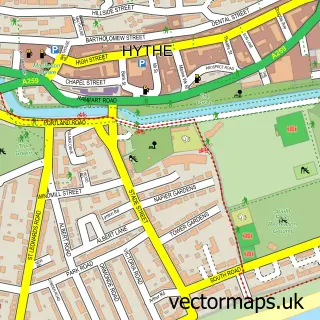
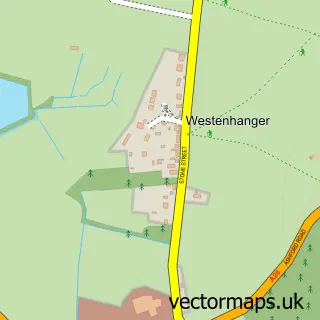
This Seabrook street map is a detailed vector street map covering a 750m x 750m area. Select a larger area to create and download your own vector street map of Seabrook.
The 750-metre map sample for Seabrook covers 259 mapped buildings and approximately 15.2 km of road detail, of which 26 named roads are named. The immediate area includes 1 school, 4 GP surgeries within 2 miles, 2 pubs and 9 MOT stations within 2 miles. The wider area around Seabrook features 1 tourism point of interest and 3 food and drink venues. To create a larger or custom map of Seabrook, the map builder lets you define your own coverage area and download editable SVG, PDF and PNG files.
Create a larger editable map of Seabrook
Choose any area you need and generate a high-quality vector map instantly. Perfect for print, planning, design, business and personal use.

This Seabrook street map in Kent is available as downloadable SVG, PDF and PNG map files, or as a printed map for planning, business, display, education, local information and design work. You can also create a larger custom map area using the map selector.
What this Seabrook map sample shows
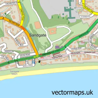
Seabrook lies within Sandgate Cp parish, part of Sandgate & West Folkestone ward in the Folkestone And Hythe District local authority area. The postcode geography for this area includes the CT postcode area, the CT20 postcode district and the CT20 3 postcode sector. Residents fall under the Nhs Kent And Medway Integrated Care Board for NHS services.
Local features near Seabrook
Within 2 milesAmenities and services in and around Seabrook.
Administrative and postcode information for Seabrook
The local authority covering Seabrook is Folkestone And Hythe District, within the county of Kent. The settlement lies within Sandgate & West Folkestone ward and Sandgate Cp civil parish. The CT20 postcode district and CT20 3 postcode sector serve the immediate area. NHS provision in the area is delivered through East Kent Hospitals University Nhs Foundation Trust.
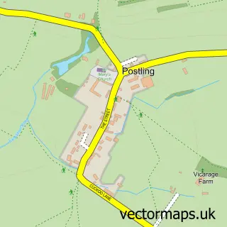
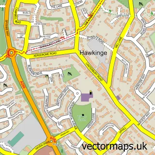
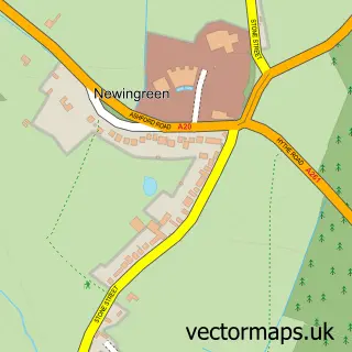
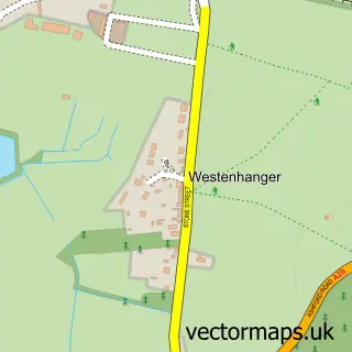
Nearby street map samples around Seabrook

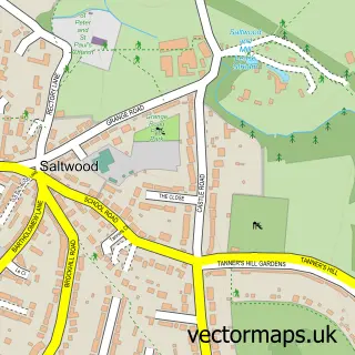
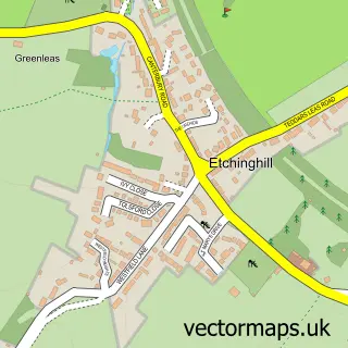
More street maps in Kent
750 metre map area coverage
Boundary, postcode and point of interest information for the 750m x 750m rectangle centred on this sample map.
Boundaries containing map centre
Constituency: Folkestone and Hythe Co Const
County: Kent County
District: Folkestone and Hythe District
Icb: NHS Kent and Medway ICB
Parish: Hythe CP
Police Force: kent
Postcode District: CT21
Postcode Sector: CT21 5
Ward: Hythe Ward
Nearby boundaries intersecting sample
No additional intersecting boundaries found.
Postcode coverage
POI category counts
Convenience Store: 4
Pub: 2
Accommodation: 1
Advertising Agency: 1
Art School: 1
Atms: 1
Auto Detailing: 1
Auto Upholstery: 1
Bakery: 1
Beach: 1
Sample points of interest
- Seabrook Beach
- Click Trick Media
- South Coast Studio
- Hythe Service Station (LINK DC)
- Visit U Valet
- Seabrook Upholstery
- The Honesty Bakehouse
- Seabrook Beach,hythe
- Coco Rose Millinery
- Costa Express
- Lifetime lawns
- Premier Seabrook Village
Create a larger editable map of Seabrook
This sample shows only a 750 metre area. To create a larger map of Seabrook, use our map builder to choose your own coverage area, add titles and download editable SVG, PDF and PNG files.
Create a custom map of Seabrook