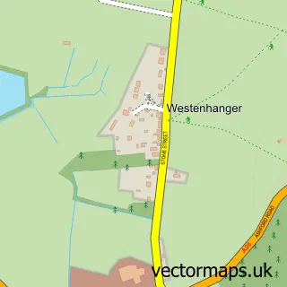
This Etchinghill street map is a detailed vector street map covering a 750m x 750m area. Select a larger area to create and download your own vector street map of Etchinghill.
The 750-metre map sample for Etchinghill covers 221 mapped buildings and approximately 10.2 km of road detail, of which 9 named roads are named. The immediate area includes 2 GP surgeries within 2 miles, 3 pubs and 1 MOT station. The wider area around Etchinghill features 3 food and drink venues and 1 campsite within 2 miles. To create a larger or custom map of Etchinghill, the map builder lets you define your own coverage area and download editable SVG, PDF and PNG files.
Create a larger editable map of Etchinghill
Choose any area you need and generate a high-quality vector map instantly. Perfect for print, planning, design, business and personal use.

This Etchinghill street map in Kent is available as downloadable SVG, PDF and PNG map files, or as a printed map for planning, business, display, education, local information and design work. You can also create a larger custom map area using the map selector.
What this Etchinghill map sample shows
Etchinghill lies within Lyminge Cp parish, part of North Downs West ward in the Folkestone And Hythe District local authority area. The postcode geography for this area includes the CT postcode area, the CT18 postcode district and the CT18 8 postcode sector. Residents fall under the Nhs Kent And Medway Integrated Care Board for NHS services.
Local features near Etchinghill
Within 2 milesAmenities and services in and around Etchinghill.
Administrative and postcode information for Etchinghill
Etchinghill lies within Lyminge Cp parish, part of North Downs West ward in the Folkestone And Hythe District local authority area. The postcode geography for this area includes the CT postcode area, the CT18 postcode district and the CT18 8 postcode sector. Residents fall under the Nhs Kent And Medway Integrated Care Board for NHS services.
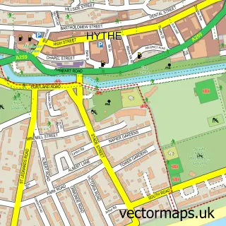
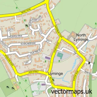
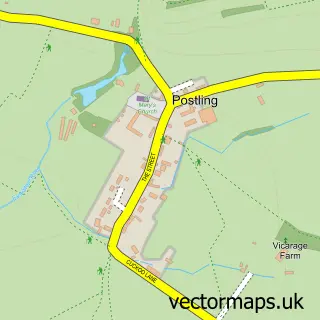
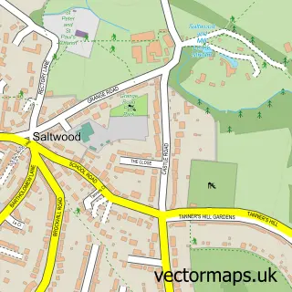
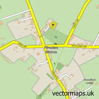
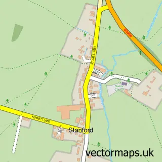
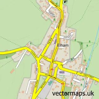
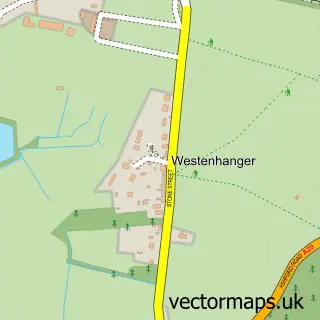
Nearby street map samples around Etchinghill

More street maps in Kent
750 metre map area coverage
Boundary, postcode and point of interest information for the 750m x 750m rectangle centred on this sample map.
Boundaries containing map centre
Constituency: Ashford Co Const
County: Kent County
District: Folkestone and Hythe District
Icb: NHS Kent and Medway ICB
Parish: Lyminge CP
Police Force: kent
Postcode District: CT18
Postcode Sector: CT18 8
Ward: North Downs West Ward
Nearby boundaries intersecting sample
Parish: Newington CP
Ward: North Downs East Ward
Postcode coverage
POI category counts
Pub: 3
Auto Electrical Repair: 1
Automotive Services And Repair: 1
Bakery: 1
Bathroom Remodeling: 1
Community Center: 1
Golf Course: 1
Makeup Artist: 1
Printing Equipment And Supply: 1
Retail: 1
Sample points of interest
- Aerial Man
- Auto Economy Centre Ltd
- Country Bakes
- The Big Little Bathroom Company
- Etchinghill Village Hall
- Etchinghill Golf Club
- Victoria Coombes - MakeUp Artist
- Decipher Development
- New Inn
- The Gatekeeper
- The Gatekeeper
- Original Content Design
Create a larger editable map of Etchinghill
This sample shows only a 750 metre area. To create a larger map of Etchinghill, use our map builder to choose your own coverage area, add titles and download editable SVG, PDF and PNG files.
Create a custom map of Etchinghill