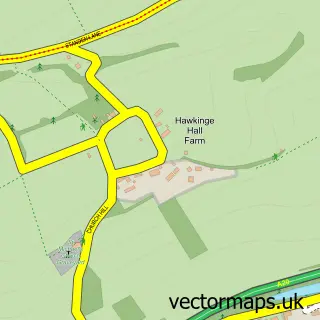
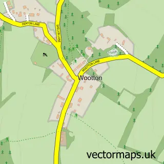
This Densole street map is a detailed vector street map covering a 750m x 750m area. Select a larger area to create and download your own vector street map of Densole.
The 750-metre map sample for Densole covers 258 mapped buildings and approximately 10.0 km of road detail, of which 11 named roads are named. The immediate area includes 2 pubs and 3 MOT stations within 2 miles. The wider area around Densole features 1 tourism point of interest, 2 food and drink venues and 1 hotel. To create a larger or custom map of Densole, the map builder lets you define your own coverage area and download editable SVG, PDF and PNG files.
Create a larger editable map of Densole
Choose any area you need and generate a high-quality vector map instantly. Perfect for print, planning, design, business and personal use.

This Densole street map in Kent is available as downloadable SVG, PDF and PNG map files, or as a printed map for planning, business, display, education, local information and design work. You can also create a larger custom map area using the map selector.
What this Densole map sample shows
Densole lies within Swingfield Cp parish, part of North Downs East ward in the Folkestone And Hythe District local authority area. The postcode geography for this area includes the CT postcode area, the CT18 postcode district and the CT18 7 postcode sector. Residents fall under the Nhs Kent And Medway Integrated Care Board for NHS services.
Local features near Densole
Within 2 milesAmenities and services in and around Densole.
Administrative and postcode information for Densole
Densole lies within Swingfield Cp parish, part of North Downs East ward in the Folkestone And Hythe District local authority area. The postcode geography for this area includes the CT postcode area, the CT18 postcode district and the CT18 7 postcode sector. Residents fall under the Nhs Kent And Medway Integrated Care Board for NHS services.
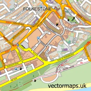
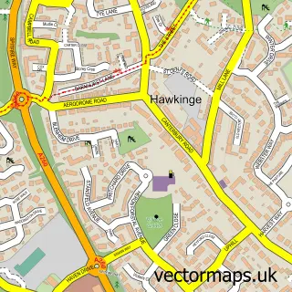
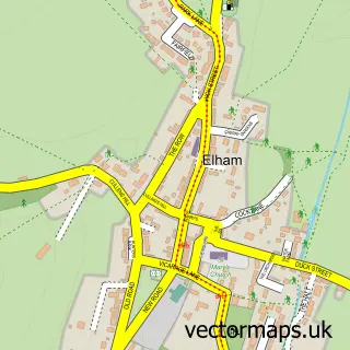
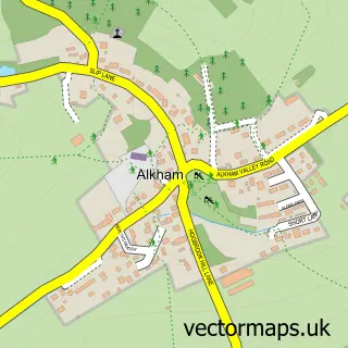
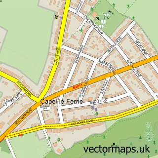
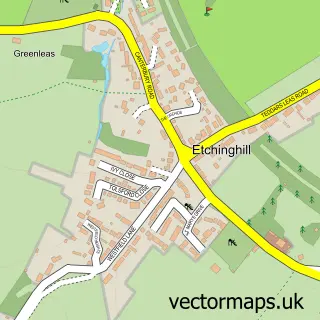
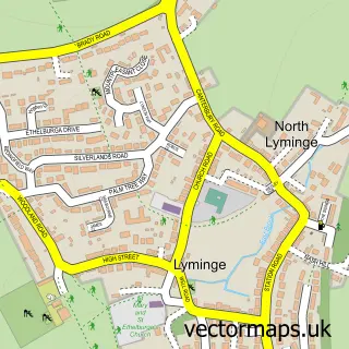
Nearby street map samples around Densole

More street maps in Kent
750 metre map area coverage
Boundary, postcode and point of interest information for the 750m x 750m rectangle centred on this sample map.
Boundaries containing map centre
Constituency: Ashford Co Const
County: Kent County
District: Folkestone and Hythe District
Icb: NHS Kent and Medway ICB
Parish: Swingfield CP
Police Force: kent
Postcode District: CT18
Postcode Sector: CT18 7
Ward: North Downs East Ward
Nearby boundaries intersecting sample
Parish: Hawkinge CP
Postcode Sector: CT18 8
Postcode coverage
POI category counts
Martial Arts Club: 2
Pub: 2
Alternative Medicine: 1
Bed And Breakfast: 1
Building Supply Store: 1
Campground: 1
Caterer: 1
Electrician: 1
Farm: 1
Industrial Equipment: 1
Sample points of interest
- Inner-Light Healing Centre
- Garden Lodge
- Folkestone Central Heating Engineer
- Caravan Club Black Horse Farm
- 1St Setting
- KAA Electrical Contractors
- South Lodge Farm, Stelling Minnis, Canterbury
- Folkestone Engineering Supplies
- Athena Horizons Limited
- BKK Folkestone Juniors
- Folkestone British Kyokushinkai Karate
- LL Safety Consultants
Create a larger editable map of Densole
This sample shows only a 750 metre area. To create a larger map of Densole, use our map builder to choose your own coverage area, add titles and download editable SVG, PDF and PNG files.
Create a custom map of Densole