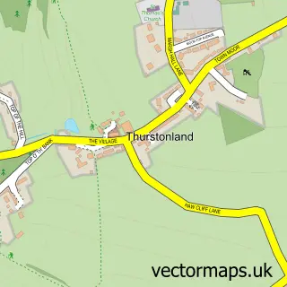
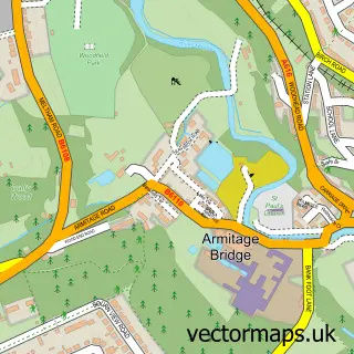
This Farnley Tyas street map is a detailed vector street map covering a 750m x 750m area. Select a larger area to create and download your own vector street map of Farnley Tyas.
The 750-metre map sample for Farnley Tyas covers 100 mapped buildings and approximately 11.5 km of road detail, of which 17 named roads are named. The immediate area includes 1 school, 3 GP surgeries within 2 miles, 2 pubs and 5 MOT stations within 2 miles. The wider area around Farnley Tyas features 3 food and drink venues and 1 campsite within 2 miles. To create a larger or custom map of Farnley Tyas, the map builder lets you define your own coverage area and download editable SVG, PDF and PNG files.
Create a larger editable map of Farnley Tyas
Choose any area you need and generate a high-quality vector map instantly. Perfect for print, planning, design, business and personal use.

This Farnley Tyas street map in West Yorkshire is available as downloadable SVG, PDF and PNG map files, or as a printed map for planning, business, display, education, local information and design work. You can also create a larger custom map area using the map selector.
What this Farnley Tyas map sample shows
Farnley Tyas lies within Kirkburton Cp parish, part of Kirkburton ward in the Kirklees District (B) local authority area. The postcode geography for this area includes the HD postcode area, the HD4 postcode district and the HD4 6 postcode sector. Residents fall under the Nhs West Yorkshire Integrated Care Board for NHS services.
Local features near Farnley Tyas
Within 2 milesAmenities and services in and around Farnley Tyas.
Administrative and postcode information for Farnley Tyas
Farnley Tyas lies within Kirkburton Cp parish, part of Kirkburton ward in the Kirklees District (B) local authority area. The postcode geography for this area includes the HD postcode area, the HD4 postcode district and the HD4 6 postcode sector. Residents fall under the Nhs West Yorkshire Integrated Care Board for NHS services.
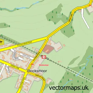
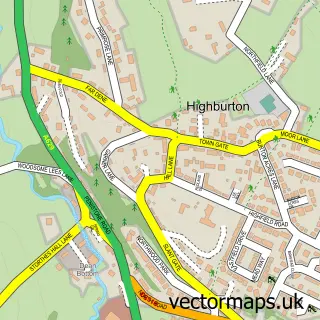
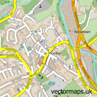
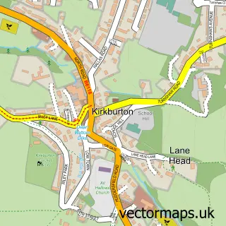
Nearby street map samples around Farnley Tyas

More street maps in West Yorkshire
750 metre map area coverage
Boundary, postcode and point of interest information for the 750m x 750m rectangle centred on this sample map.
Boundaries containing map centre
Constituency: Ossett and Denby Dale Co Const
District: Kirklees District (B)
Icb: NHS West Yorkshire ICB
Parish: Kirkburton CP
Police Force: west yorkshire
Postcode District: HD4
Postcode Sector: HD4 6
Ward: Kirkburton Ward
Nearby boundaries intersecting sample
No additional intersecting boundaries found.
Postcode coverage
POI category counts
Pub: 2
Business Manufacturing And Supply: 1
Cafe: 1
Caterer: 1
Church Cathedral: 1
Construction Services: 1
Dog Trainer: 1
Elementary School: 1
Information Technology Company: 1
Real Estate: 1
Sample points of interest
- Skrabl Organs UK
- Field
- Guest Dining
- St Lucius Church
- DcF Building Solutions
- Scent and Track UK
- Farnley Tyas Church of England First School
- Phaedra Solutions
- Golden Cock
- The Golden Cock
- Farnley Estates
- Farnley Tyas Bowling Club
Create a larger editable map of Farnley Tyas
This sample shows only a 750 metre area. To create a larger map of Farnley Tyas, use our map builder to choose your own coverage area, add titles and download editable SVG, PDF and PNG files.
Create a custom map of Farnley Tyas