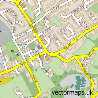
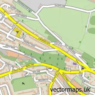
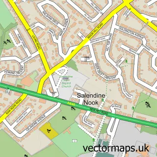
This Huddersfield street map is a detailed vector street map covering a 750m x 750m area. Select a larger area to create and download your own vector street map of Huddersfield.
The 750-metre map sample for Huddersfield covers 124 mapped buildings and approximately 26.5 km of road detail, of which 73 named roads are named. The immediate area includes 1 school, 1 railway station, 22 GP surgeries within 2 miles and 39 pubs among other local services. The wider area around Huddersfield features 6 tourism points of interest, 109 food and drink venues and 7 hotels. To create a larger or custom map of Huddersfield, the map builder lets you define your own coverage area and download editable SVG, PDF and PNG files.
Create a larger editable map of Huddersfield
Choose any area you need and generate a high-quality vector map instantly. Perfect for print, planning, design, business and personal use.

This Huddersfield street map in West Yorkshire is available as downloadable SVG, PDF and PNG map files, or as a printed map for planning, business, display, education, local information and design work. You can also create a larger custom map area using the map selector.
What this Huddersfield map sample shows
Huddersfield lies within Kirklees District (B) parish, part of Greenhead ward in the Kirklees District (B) local authority area. The postcode geography for this area includes the HD postcode area, the HD1 postcode district and the HD1 4 postcode sector. Residents fall under the Nhs West Yorkshire Integrated Care Board for NHS services.
Local features near Huddersfield
Within 2 milesAmenities and services in and around Huddersfield.
Administrative and postcode information for Huddersfield
The local authority covering Huddersfield is Kirklees District (B), within the county of West Yorkshire. The settlement lies within Greenhead ward and Kirklees District (B) civil parish. The HD1 postcode district and HD1 4 postcode sector serve the immediate area. NHS provision in the area is delivered through Calderdale And Huddersfield Nhs Foundation Trust.
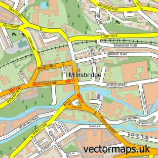
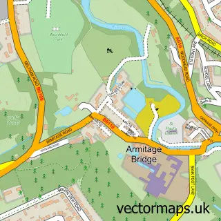
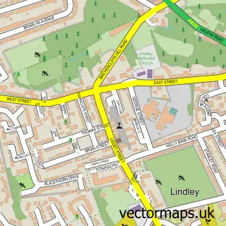
Nearby street map samples around Huddersfield

More street maps in West Yorkshire
750 metre map area coverage
Boundary, postcode and point of interest information for the 750m x 750m rectangle centred on this sample map.
Boundaries containing map centre
Constituency: Huddersfield Boro Const
District: Kirklees District (B)
Icb: NHS West Yorkshire ICB
Police Force: west yorkshire
Postcode District: HD1
Postcode Sector: HD1 2
Ward: Newsome Ward
Nearby boundaries intersecting sample
Postcode Sector: HD1 1, HD1 3, HD1 4, HD1 5, HD1 6
Ward: Dalton Ward
Postcode coverage
POI category counts
Clothing Store: 56
Pub: 39
Cafe: 30
Bar: 28
Professional Services: 27
Fast Food Restaurant: 26
Hair Salon: 25
Jewelry Store: 25
Beauty Salon: 24
Coffee Shop: 24
Sample points of interest
- Dundas Works
- HudLets Student Accommodation
- John William Takeaway
- Leach
- Merchants Hall
- Oldgate House
- The Palace Studios
- Cloud Accountants and Tax Advisors Ltd
- Community Accountants
- Connelly Chartered Accountants
- Hd Accountancy Services
- Revell Ward
Create a larger editable map of Huddersfield
This sample shows only a 750 metre area. To create a larger map of Huddersfield, use our map builder to choose your own coverage area, add titles and download editable SVG, PDF and PNG files.
Create a custom map of Huddersfield