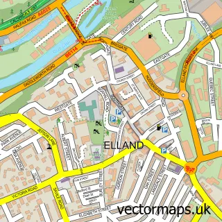
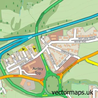
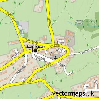
This Salendine Nook street map is a detailed vector street map covering a 750m x 750m area. Select a larger area to create and download your own vector street map of Salendine Nook.
The 750-metre map sample for Salendine Nook covers 531 mapped buildings and approximately 17.7 km of road detail, of which 37 named roads are named. The immediate area includes 2 schools, 1 GP surgery, with 10 within 2 miles and 24 MOT stations within 2 miles. The wider area around Salendine Nook features 1 food and drink venue. To create a larger or custom map of Salendine Nook, the map builder lets you define your own coverage area and download editable SVG, PDF and PNG files.
Create a larger editable map of Salendine Nook
Choose any area you need and generate a high-quality vector map instantly. Perfect for print, planning, design, business and personal use.

This Salendine Nook street map in West Yorkshire is available as downloadable SVG, PDF and PNG map files, or as a printed map for planning, business, display, education, local information and design work. You can also create a larger custom map area using the map selector.
What this Salendine Nook map sample shows
Salendine Nook lies within Kirklees District (B) parish, part of Golcar ward in the Kirklees District (B) local authority area. The postcode geography for this area includes the HD postcode area, the HD7 postcode district and the HD7 4 postcode sector. Residents fall under the Nhs West Yorkshire Integrated Care Board for NHS services.
Local features near Salendine Nook
Within 2 milesAmenities and services in and around Salendine Nook.
Administrative and postcode information for Salendine Nook
The local authority covering Salendine Nook is Kirklees District (B), within the county of West Yorkshire. The settlement lies within Golcar ward and Kirklees District (B) civil parish. The HD7 postcode district and HD7 4 postcode sector serve the immediate area. NHS provision in the area is delivered through Calderdale And Huddersfield Nhs Foundation Trust.
Nearby street map samples around Salendine Nook

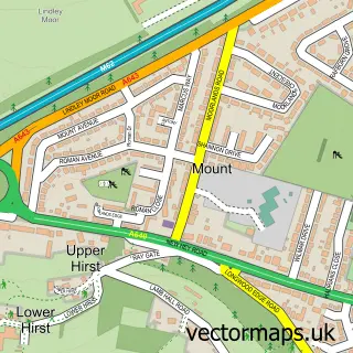
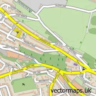
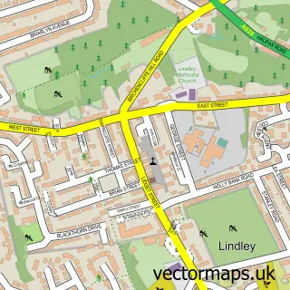
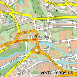
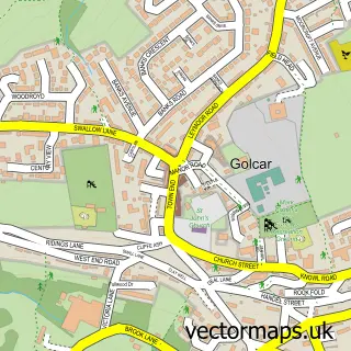
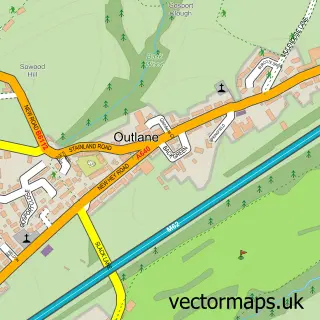
More street maps in West Yorkshire
750 metre map area coverage
Boundary, postcode and point of interest information for the 750m x 750m rectangle centred on this sample map.
Boundaries containing map centre
Constituency: Colne Valley Co Const
District: Kirklees District (B)
Icb: NHS West Yorkshire ICB
Police Force: west yorkshire
Postcode District: HD3
Postcode Sector: HD3 3
Ward: Lindley Ward
Nearby boundaries intersecting sample
Postcode Sector: HD3 4
Ward: Golcar Ward
Postcode coverage
POI category counts
Department Store: 3
Professional Services: 3
Atms: 2
Driving School: 2
Gas Station: 2
Hair Salon: 2
Home Health Care: 2
Package Locker: 2
Post Office: 2
Preschool: 2
Sample points of interest
- Get Wet Swim School
- Spotted Cow
- Pennine Crescent Care Home
- BP
- MFG - Salendine Service Station (Mercury Forecourts)(Spring) (MRH), Salendine Nook
- FamilyCast
- Salendine Nook Baptist Church
- Varnham Hairdressing
- M B Advanced Electrical
- The Nook Cafe
- Salendine Nook School
- DEBRA Charity Shop
Create a larger editable map of Salendine Nook
This sample shows only a 750 metre area. To create a larger map of Salendine Nook, use our map builder to choose your own coverage area, add titles and download editable SVG, PDF and PNG files.
Create a custom map of Salendine Nook