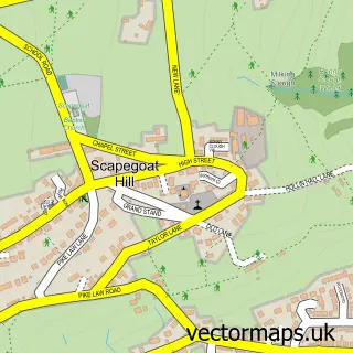
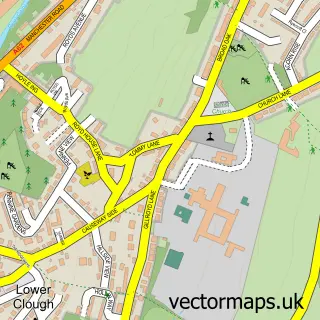
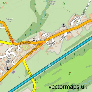
This Golcar street map is a detailed vector street map covering a 750m x 750m area. Select a larger area to create and download your own vector street map of Golcar.
The 750-metre map sample for Golcar covers 482 mapped buildings and approximately 17.7 km of road detail, of which 43 named roads are named. The immediate area includes 2 schools, 1 GP surgery, with 8 within 2 miles, 2 pubs and 21 MOT stations within 2 miles. The wider area around Golcar features 2 tourism points of interest, 3 food and drink venues and 1 hotel. To create a larger or custom map of Golcar, the map builder lets you define your own coverage area and download editable SVG, PDF and PNG files.
Create a larger editable map of Golcar
Choose any area you need and generate a high-quality vector map instantly. Perfect for print, planning, design, business and personal use.

This Golcar street map in West Yorkshire is available as downloadable SVG, PDF and PNG map files, or as a printed map for planning, business, display, education, local information and design work. You can also create a larger custom map area using the map selector.
What this Golcar map sample shows
Golcar lies within Kirklees District (B) parish, part of Golcar ward in the Kirklees District (B) local authority area. The postcode geography for this area includes the HD postcode area, the HD7 postcode district and the HD7 4 postcode sector. Residents fall under the Nhs West Yorkshire Integrated Care Board for NHS services.
Local features near Golcar
Within 2 milesAmenities and services in and around Golcar.
Administrative and postcode information for Golcar
Golcar lies within Kirklees District (B) parish, part of Golcar ward in the Kirklees District (B) local authority area. The postcode geography for this area includes the HD postcode area, the HD7 postcode district and the HD7 4 postcode sector. Residents fall under the Nhs West Yorkshire Integrated Care Board for NHS services.
Nearby street map samples around Golcar

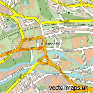
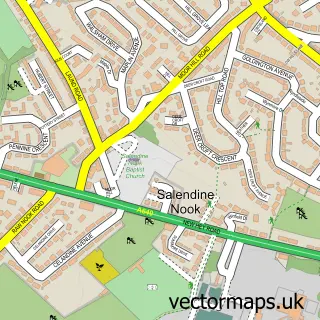
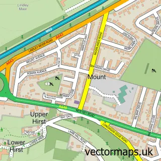
More street maps in West Yorkshire
750 metre map area coverage
Boundary, postcode and point of interest information for the 750m x 750m rectangle centred on this sample map.
Boundaries containing map centre
Constituency: Colne Valley Co Const
District: Kirklees District (B)
Icb: NHS West Yorkshire ICB
Police Force: west yorkshire
Postcode District: HD7
Postcode Sector: HD7 4
Ward: Golcar Ward
Nearby boundaries intersecting sample
Ward: Colne Valley Ward
Postcode coverage
POI category counts
Arts And Entertainment: 2
Beauty Salon: 2
Business Manufacturing And Supply: 2
Butcher Shop: 2
Contractor: 2
Doctor: 2
Elementary School: 2
Hair Salon: 2
History Museum: 2
Library: 2
Sample points of interest
- Golcar Village
- Colin Rose
- Form Artworks
- The Cooperative Food (BF) Golcar, Golcar
- Golcar Patisserie
- Raymali Restaurant - A symphony of spice
- Hair Envy
- L C Hairdressing Golcar
- OJ Lash's & Beauty
- Lily Pickles of Holmfirth
- Post Office-Town End
- Golcar Brewery Ltd
Create a larger editable map of Golcar
This sample shows only a 750 metre area. To create a larger map of Golcar, use our map builder to choose your own coverage area, add titles and download editable SVG, PDF and PNG files.
Create a custom map of Golcar