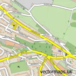
This Linthwaite street map is a detailed vector street map covering a 750m x 750m area. Select a larger area to create and download your own vector street map of Linthwaite.
The 750-metre map sample for Linthwaite covers 313 mapped buildings and approximately 13.7 km of road detail, of which 19 named roads are named. The immediate area includes 1 primary school and 1 secondary school, 5 GP surgeries within 2 miles, 3 pubs and 1 MOT station, with 17 within 2 miles. The wider area around Linthwaite features 3 food and drink venues. To create a larger or custom map of Linthwaite, the map builder lets you define your own coverage area and download editable SVG, PDF and PNG files.
Create a larger editable map of Linthwaite
Choose any area you need and generate a high-quality vector map instantly. Perfect for print, planning, design, business and personal use.

This Linthwaite street map in West Yorkshire is available as downloadable SVG, PDF and PNG map files, or as a printed map for planning, business, display, education, local information and design work. You can also create a larger custom map area using the map selector.
What this Linthwaite map sample shows
Linthwaite lies within Kirklees District (B) parish, part of Colne Valley ward in the Kirklees District (B) local authority area. The postcode geography for this area includes the HD postcode area, the HD7 postcode district and the HD7 5 postcode sector. Residents fall under the Nhs West Yorkshire Integrated Care Board for NHS services.
Local features near Linthwaite
Within 2 milesAmenities and services in and around Linthwaite.
Administrative and postcode information for Linthwaite
Linthwaite lies within Kirklees District (B) parish, part of Colne Valley ward in the Kirklees District (B) local authority area. The postcode geography for this area includes the HD postcode area, the HD7 postcode district and the HD7 5 postcode sector. Residents fall under the Nhs West Yorkshire Integrated Care Board for NHS services.
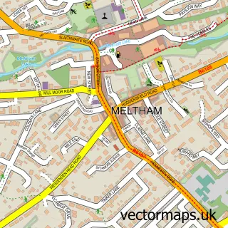
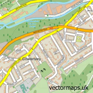
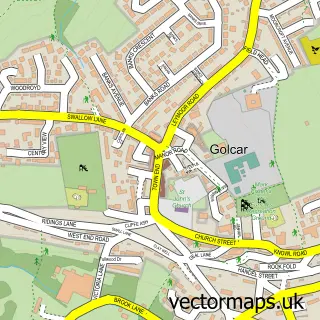
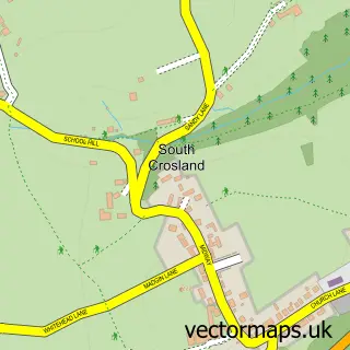
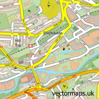
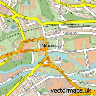
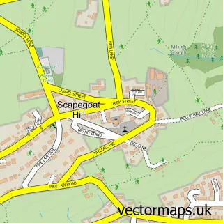
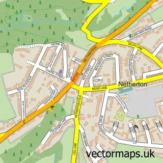
Nearby street map samples around Linthwaite

More street maps in West Yorkshire
750 metre map area coverage
Boundary, postcode and point of interest information for the 750m x 750m rectangle centred on this sample map.
Boundaries containing map centre
Constituency: Colne Valley Co Const
District: Kirklees District (B)
Icb: NHS West Yorkshire ICB
Police Force: west yorkshire
Postcode District: HD7
Postcode Sector: HD7 5
Ward: Colne Valley Ward
Nearby boundaries intersecting sample
No additional intersecting boundaries found.
Postcode coverage
POI category counts
Convenience Store: 4
Building Supply Store: 3
Gas Station: 3
Home Cleaning: 3
Pub: 3
Church Cathedral: 2
High School: 2
Photography Store And Services: 2
Professional Services: 2
Real Estate Agent: 2
Sample points of interest
- Linthwaite Brewery
- British Bridal Wholesale
- A+ Electrical Contractors
- Electrical Supplies Ltd
- Four Seasons
- Huddersfield Holiday Home
- Richard Mozley Joinery
- Christ Church
- Linthwaite Church Huddersfield
- Linthwaite Londis
- Londis HILLCREST FILLING STATION
- Premier Filling Station Linthwaite
Create a larger editable map of Linthwaite
This sample shows only a 750 metre area. To create a larger map of Linthwaite, use our map builder to choose your own coverage area, add titles and download editable SVG, PDF and PNG files.
Create a custom map of Linthwaite