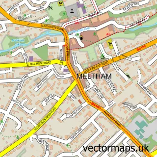
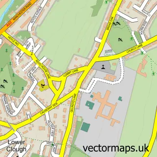
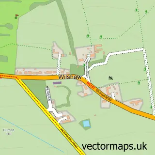
This Netherton street map is a detailed vector street map covering a 750m x 750m area. Select a larger area to create and download your own vector street map of Netherton.
The 750-metre map sample for Netherton covers 345 mapped buildings and approximately 17.1 km of road detail, of which 39 named roads are named. The immediate area includes 1 school, 9 GP surgeries within 2 miles, 2 pubs and 21 MOT stations within 2 miles. The wider area around Netherton features 4 food and drink venues. To create a larger or custom map of Netherton, the map builder lets you define your own coverage area and download editable SVG, PDF and PNG files.
Create a larger editable map of Netherton
Choose any area you need and generate a high-quality vector map instantly. Perfect for print, planning, design, business and personal use.

This Netherton street map in West Yorkshire is available as downloadable SVG, PDF and PNG map files, or as a printed map for planning, business, display, education, local information and design work. You can also create a larger custom map area using the map selector.
What this Netherton map sample shows
Netherton lies within Kirklees District (B) parish, part of Crosland Moor And Netherton ward in the Kirklees District (B) local authority area. The postcode geography for this area includes the HD postcode area, the HD4 postcode district and the HD4 7 postcode sector. Residents fall under the Nhs West Yorkshire Integrated Care Board for NHS services.
Local features near Netherton
Within 2 milesAmenities and services in and around Netherton.
Administrative and postcode information for Netherton
Netherton lies within Kirklees District (B) parish, part of Crosland Moor And Netherton ward in the Kirklees District (B) local authority area. The postcode geography for this area includes the HD postcode area, the HD4 postcode district and the HD4 7 postcode sector. Residents fall under the Nhs West Yorkshire Integrated Care Board for NHS services.
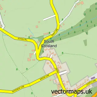
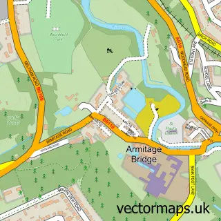
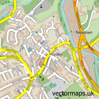
Nearby street map samples around Netherton

More street maps in West Yorkshire
750 metre map area coverage
Boundary, postcode and point of interest information for the 750m x 750m rectangle centred on this sample map.
Boundaries containing map centre
Constituency: Huddersfield Boro Const
District: Kirklees District (B)
Icb: NHS West Yorkshire ICB
Police Force: west yorkshire
Postcode District: HD4
Postcode Sector: HD4 7
Ward: Crosland Moor and Netherton Ward
Nearby boundaries intersecting sample
No additional intersecting boundaries found.
Postcode coverage
POI category counts
Beauty Salon: 4
Beauty And Spa: 3
Convenience Store: 3
Professional Services: 3
Building Supply Store: 2
Community Center: 2
Elementary School: 2
Fast Food Restaurant: 2
Hair Salon: 2
Home Cleaning: 2
Sample points of interest
- Anchor Hanover - Noble Court
- Nisa Local Netherton, Netherton
- Pennine Contracting Solutions Ltd.
- Artech Laser & Aesthetics Clinic
- Golden. Tan & Aesthetics
- Jolanta Burek Pmu & Lashes
- Aura Beauty Studio
- The Lounge Nail & Beauty
- Tranquil Moments
- Yolashes Beauty
- Pitchforth Landscapes
- Right Flow Plumbing Soloutions
Create a larger editable map of Netherton
This sample shows only a 750 metre area. To create a larger map of Netherton, use our map builder to choose your own coverage area, add titles and download editable SVG, PDF and PNG files.
Create a custom map of Netherton