Vector Maps logo
Home Why it works Popular maps Districts Samples Customizer Create Your Map
VectorMaps.uk
Home Popular maps Districts Samples Customizer Create Your Map Privacy Disclaimer
Home / UK Maps / West Yorkshire / Wilshaw Map

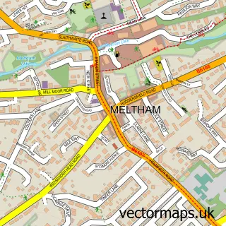
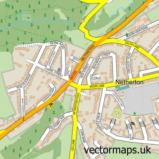
This Wilshaw street map is a detailed vector street map covering a 750m x 750m area. Select a larger area to create and download your own vector street map of Wilshaw.

Wilshaw is a village in West Yorkshire, in the Yorkshire And The Humber of England. Historically, the area formed part of Yorkshire. The settlement falls within the Colne Valley parliamentary constituency. It is served by the HD9 postcode district, with H

The 750-metre map sample for Wilshaw covers 57 mapped buildings and approximately 6.1 km of road detail, of which 4 named roads are named. The immediate area includes 4 GP surgeries within 2 miles and 9 MOT stations within 2 miles. The wider area around Wilshaw features 1 food and drink venue. To create a larger or custom map of Wilshaw, the map builder lets you define your own coverage area and download editable SVG, PDF and PNG files.

57Buildings
6.11 kmRoads
4Named roads
9,998Residents within 2 miles
Create your own

Create a larger editable map of Wilshaw

Choose any area you need and generate a high-quality vector map instantly. Perfect for print, planning, design, business and personal use.

Choose any location
Editable SVG files
Any size up to A0
PDF, PNG & more
Instant download
High quality guaranteed
Create My Custom Map
Secure, private & no credit card required
Wilshaw Vector Street Map
750m Sample
Wilshaw vector street map sample showing roads, buildings and local features in a 750 metre preview area
Buy Wilshaw Map Print from £12.95 Buy Wilshaw Digital Map from £6

This Wilshaw street map in West Yorkshire is available as downloadable SVG, PDF and PNG map files, or as a printed map for planning, business, display, education, local information and design work. You can also create a larger custom map area using the map selector.

What this Wilshaw map sample shows

Wilshaw lies within Meltham Cp parish, part of Holme Valley North ward in the Kirklees District (B) local authority area. The postcode geography for this area includes the HD postcode area, the HD9 postcode district and the HD9 4 postcode sector. Residents fall under the Nhs West Yorkshire Integrated Care Board for NHS services.

Local features near Wilshaw

Within 2 miles

Amenities and services in and around Wilshaw.

4 GP surgeries within 2 miles
9 MOT stations within 2 miles
1 Food & drink

Counts are approximate and based on publicly available data.

Administrative and postcode information for Wilshaw

The local authority covering Wilshaw is Kirklees District (B), within the county of West Yorkshire. The settlement lies within Holme Valley North ward and Meltham Cp civil parish. The HD9 postcode district and HD9 4 postcode sector serve the immediate area. NHS provision in the area is delivered through Calderdale And Huddersfield Nhs Foundation Trust.

Parish Meltham CP
Ward Holme Valley North
District / local authority Kirklees District (B)
County West Yorkshire
Historic county Yorkshire
Postcode district HD9
Postcode sector HD9 4
Parliamentary constituency Colne Valley
Region Yorkshire and the Humber
Country England

Nearby street map samples around Wilshaw

Street map sample of Meltham, West Yorkshire Meltham Town - West Yorkshire - 1.1 miles Street map sample of Bradford, West Yorkshire Bradford City - West Yorkshire - 14.8 miles Street map sample of Upperthong, West Yorkshire Upperthong Village - West Yorkshire - 1.1 miles Street map sample of Netherthong, West Yorkshire Netherthong Village - West Yorkshire - 1.4 miles Street map sample of Hinchliffe Mill, West Yorkshire Hinchliffe Mill Village - West Yorkshire - 1.9 miles Street map sample of Honley, West Yorkshire Honley Village - West Yorkshire - 1.9 miles Street map sample of Holmbridge, West Yorkshire Holmbridge Village - West Yorkshire - 1.9 miles Street map sample of Thongsbridge, West Yorkshire Thongsbridge Village - West Yorkshire - 2.0 miles Street map sample of South Crosland, West Yorkshire South Crosland Village - West Yorkshire - 2.0 miles Street map sample of Netherton, West Yorkshire Netherton Village - West Yorkshire - 2.1 miles

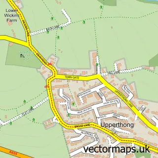
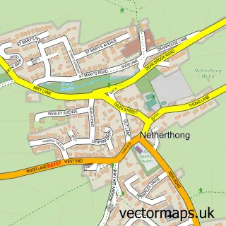
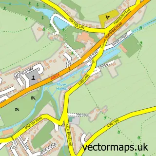
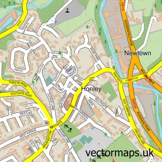
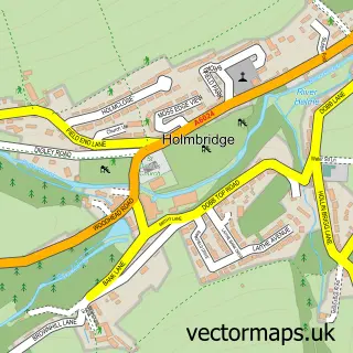
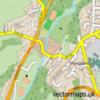
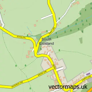
More street maps in West Yorkshire

Street map sample of Upperthong, West Yorkshire Upperthong Village - 1.1 miles Street map sample of Meltham, West Yorkshire Meltham Town - 1.1 miles Street map sample of Netherthong, West Yorkshire Netherthong Village - 1.4 miles Street map sample of Hinchliffe Mill, West Yorkshire Hinchliffe Mill Village - 1.9 miles Street map sample of Holmfirth, West Yorkshire Holmfirth Town - 1.9 miles

750 metre map area coverage

Boundary, postcode and point of interest information for the 750m x 750m rectangle centred on this sample map.

Boundaries containing map centre

Constituency: Colne Valley Co Const

District: Kirklees District (B)

Icb: NHS West Yorkshire ICB

Parish: Meltham CP

Police Force: west yorkshire

Postcode District: HD9

Postcode Sector: HD9 4

Ward: Holme Valley North Ward

Nearby boundaries intersecting sample

Postcode Sector: HD9 3

Postcode coverage

HD9 HD9 4 HD9 3

POI category counts

Assisted Living Facility: 1

Church Cathedral: 1

Dance School: 1

Hvac Services: 1

Hvac Supplier: 1

Restaurant: 1

Veterinarian: 1

Sample points of interest

  • Bell House Assisted Living Facility
  • St Mary's Church Church Cathedral
  • Alliance Dance Academy Dance School
  • Leonard Senior (Crosland Moor) Hvac Services
  • Leonard Senior Plumbers Hvac Supplier
  • Wilshaw Restaurant
  • Barklands Secure Dog Walking Veterinarian

Create a larger editable map of Wilshaw

This sample shows only a 750 metre area. To create a larger map of Wilshaw, use our map builder to choose your own coverage area, add titles and download editable SVG, PDF and PNG files.

Create a custom map of Wilshaw

Phone 01751 473136 | Copyright Vectormaps.uk 2026

Samples Customizer Privacy Disclaimer
Wilshaw Vector Street Map
Wilshaw enlarged street map sample showing a 750 metre preview area