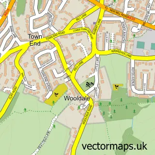
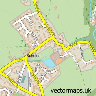
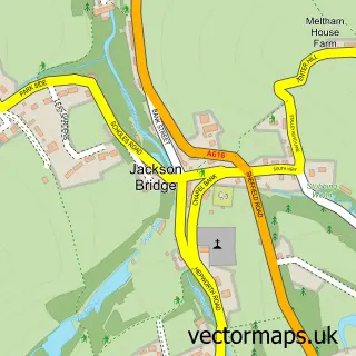
This Holmfirth street map is a detailed vector street map covering a 750m x 750m area. Select a larger area to create and download your own vector street map of Holmfirth.
The 750-metre map sample for Holmfirth covers 348 mapped buildings and approximately 20.5 km of road detail, of which 44 named roads are named. The immediate area includes 1 school, 2 GP surgeries within 2 miles, 11 pubs and 1 MOT station, with 7 within 2 miles. The wider area around Holmfirth features 1 tourism point of interest, 34 food and drink venues and 2 hotels. To create a larger or custom map of Holmfirth, the map builder lets you define your own coverage area and download editable SVG, PDF and PNG files.
Create a larger editable map of Holmfirth
Choose any area you need and generate a high-quality vector map instantly. Perfect for print, planning, design, business and personal use.

This Holmfirth street map in West Yorkshire is available as downloadable SVG, PDF and PNG map files, or as a printed map for planning, business, display, education, local information and design work. You can also create a larger custom map area using the map selector.
What this Holmfirth map sample shows
Holmfirth lies within Holme Valley Cp parish, part of Holme Valley South ward in the Kirklees District (B) local authority area. The postcode geography for this area includes the HD postcode area, the HD9 postcode district and the HD9 2 postcode sector. Residents fall under the Nhs West Yorkshire Integrated Care Board for NHS services.
Local features near Holmfirth
Within 2 milesAmenities and services in and around Holmfirth.
Administrative and postcode information for Holmfirth
The local authority covering Holmfirth is Kirklees District (B), within the county of West Yorkshire. The settlement lies within Holme Valley South ward and Holme Valley Cp civil parish. The HD9 postcode district and HD9 2 postcode sector serve the immediate area. NHS provision in the area is delivered through Calderdale And Huddersfield Nhs Foundation Trust.
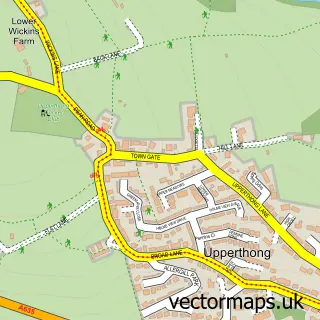
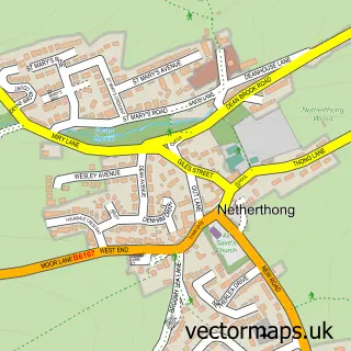
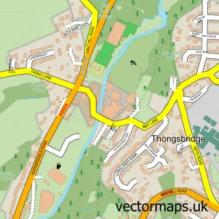
Nearby street map samples around Holmfirth

More street maps in West Yorkshire
750 metre map area coverage
Boundary, postcode and point of interest information for the 750m x 750m rectangle centred on this sample map.
Boundaries containing map centre
Constituency: Colne Valley Co Const
District: Kirklees District (B)
Icb: NHS West Yorkshire ICB
Parish: Holme Valley CP
Police Force: west yorkshire
Postcode District: HD9
Postcode Sector: HD9 7
Ward: Holme Valley South Ward
Nearby boundaries intersecting sample
Postcode Sector: HD9 1, HD9 2, HD9 3
Postcode coverage
POI category counts
Beauty Salon: 12
Cafe: 12
Pub: 11
Flowers And Gifts Shop: 9
Real Estate Agent: 8
Clothing Store: 7
Restaurant: 7
Financial Service: 6
Jewelry Store: 6
Naturopathic Holistic: 6
Sample points of interest
- Langricks Chartered Accountants & Business Advisers
- Pi Partners
- Stacey Ash
- Owen Phillips Creative Design
- We Are Thought Fox
- Towards Life
- Holmfirth Parish Church
- Age UK
- West Yorkshire Forget Me Not Trust Shop
- Wake Architects Ltd.
- A+DP Architecture & Design
- Wake Morley Architects
Create a larger editable map of Holmfirth
This sample shows only a 750 metre area. To create a larger map of Holmfirth, use our map builder to choose your own coverage area, add titles and download editable SVG, PDF and PNG files.
Create a custom map of Holmfirth