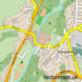
This Wildspur street map is a detailed vector street map covering a 750m x 750m area. Select a larger area to create and download your own vector street map of Wildspur.
The 750-metre map sample for Wildspur covers 96 mapped buildings and approximately 7.5 km of road detail, of which 9 named roads are named. The immediate area includes 2 GP surgeries within 2 miles, 1 pub and 6 MOT stations within 2 miles. The wider area around Wildspur features 1 tourism point of interest, 1 food and drink venue and 1 campsite within 2 miles. To create a larger or custom map of Wildspur, the map builder lets you define your own coverage area and download editable SVG, PDF and PNG files.
Create a larger editable map of Wildspur
Choose any area you need and generate a high-quality vector map instantly. Perfect for print, planning, design, business and personal use.

This Wildspur street map in West Yorkshire is available as downloadable SVG, PDF and PNG map files, or as a printed map for planning, business, display, education, local information and design work. You can also create a larger custom map area using the map selector.
What this Wildspur map sample shows
Wildspur lies within Holme Valley Cp parish, part of Holme Valley South ward in the Kirklees District (B) local authority area. The postcode geography for this area includes the HD postcode area, the HD9 postcode district and the HD9 1 postcode sector. Residents fall under the Nhs West Yorkshire Integrated Care Board for NHS services.
Local features near Wildspur
Within 2 milesAmenities and services in and around Wildspur.
Administrative and postcode information for Wildspur
The local authority covering Wildspur is Kirklees District (B), within the county of West Yorkshire. The settlement lies within Holme Valley South ward and Holme Valley Cp civil parish. The HD9 postcode district and HD9 1 postcode sector serve the immediate area. NHS provision in the area is delivered through Calderdale And Huddersfield Nhs Foundation Trust.
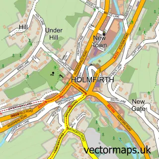
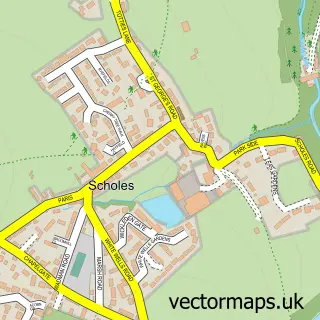
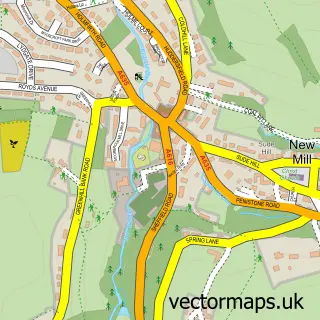
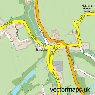
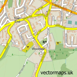
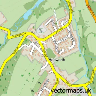
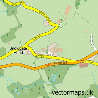
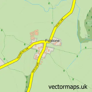
Nearby street map samples around Wildspur

More street maps in West Yorkshire
750 metre map area coverage
Boundary, postcode and point of interest information for the 750m x 750m rectangle centred on this sample map.
Boundaries containing map centre
Constituency: Colne Valley Co Const
District: Kirklees District (B)
Icb: NHS West Yorkshire ICB
Parish: Holme Valley CP
Police Force: west yorkshire
Postcode District: HD9
Postcode Sector: HD9 7
Ward: Holme Valley South Ward
Nearby boundaries intersecting sample
Postcode Sector: HD9 1
Postcode coverage
POI category counts
Counseling And Mental Health: 1
Garbage Collection Service: 1
Home Service: 1
Landmark And Historical Building: 1
Nursery And Gardening: 1
Professional Services: 1
Pub: 1
Rental Service: 1
Structure And Geography: 1
Sample points of interest
- Soul Focus Therapies
- J B D Transport Ltd Grab Hire
- Barnaby's Day Nursery
- Wildspur Mills
- Brooklands Nurseries
- Bamford Architectural
- Chapel House
- JBD Transport Grab Hire
- Wildspur Wood
Create a larger editable map of Wildspur
This sample shows only a 750 metre area. To create a larger map of Wildspur, use our map builder to choose your own coverage area, add titles and download editable SVG, PDF and PNG files.
Create a custom map of Wildspur