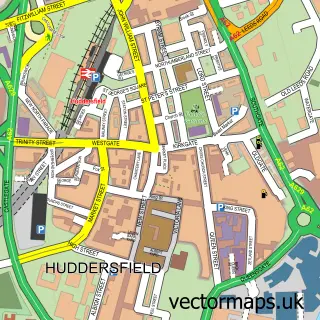
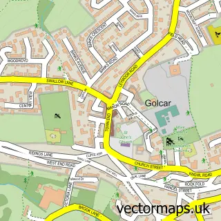
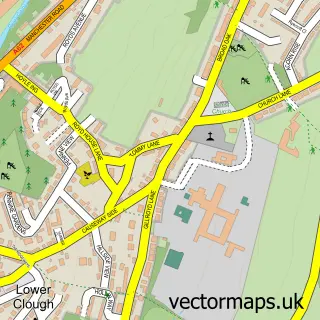
This Longwood street map is a detailed vector street map covering a 750m x 750m area. Select a larger area to create and download your own vector street map of Longwood.
The 750-metre map sample for Longwood covers 316 mapped buildings and approximately 18.5 km of road detail, of which 41 named roads are named. The immediate area includes 16 GP surgeries within 2 miles, 3 pubs and 1 MOT station, with 29 within 2 miles. The wider area around Longwood features 3 food and drink venues. To create a larger or custom map of Longwood, the map builder lets you define your own coverage area and download editable SVG, PDF and PNG files.
Create a larger editable map of Longwood
Choose any area you need and generate a high-quality vector map instantly. Perfect for print, planning, design, business and personal use.

This Longwood street map in West Yorkshire is available as downloadable SVG, PDF and PNG map files, or as a printed map for planning, business, display, education, local information and design work. You can also create a larger custom map area using the map selector.
What this Longwood map sample shows
Longwood lies within Kirklees District (B) parish, part of Golcar ward in the Kirklees District (B) local authority area. The postcode geography for this area includes the HD postcode area, the HD7 postcode district and the HD7 4 postcode sector. Residents fall under the Nhs West Yorkshire Integrated Care Board for NHS services.
Local features near Longwood
Within 2 milesAmenities and services in and around Longwood.
Administrative and postcode information for Longwood
Longwood lies within Kirklees District (B) parish, part of Golcar ward in the Kirklees District (B) local authority area. The postcode geography for this area includes the HD postcode area, the HD7 postcode district and the HD7 4 postcode sector. Residents fall under the Nhs West Yorkshire Integrated Care Board for NHS services.
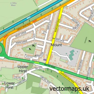
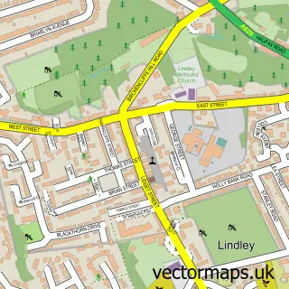
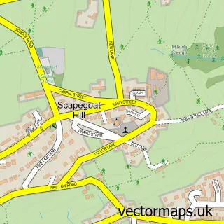
Nearby street map samples around Longwood

More street maps in West Yorkshire
750 metre map area coverage
Boundary, postcode and point of interest information for the 750m x 750m rectangle centred on this sample map.
Boundaries containing map centre
Constituency: Colne Valley Co Const
District: Kirklees District (B)
Icb: NHS West Yorkshire ICB
Police Force: west yorkshire
Postcode District: HD3
Postcode Sector: HD3 4
Ward: Golcar Ward
Nearby boundaries intersecting sample
Ward: Lindley Ward
Postcode coverage
POI category counts
Building Supply Store: 4
Pub: 3
Retail: 3
Hair Salon: 2
Home Health Care: 2
Martial Arts Club: 2
Acupuncture: 1
Advertising Agency: 1
Anglican Church: 1
Assisted Living Facility: 1
Sample points of interest
- Acupuncture Wellbeing
- Blumoon Design
- St. Mark the Evangelist
- Botham Hall Care Home
- Partsource
- APC Bodyshop
- Puerto De Mazarron
- Hair Affair
- Huddersfield Chemdry
- M.K Plumbing
- MK Services
- Montons Steel Ltd
Create a larger editable map of Longwood
This sample shows only a 750 metre area. To create a larger map of Longwood, use our map builder to choose your own coverage area, add titles and download editable SVG, PDF and PNG files.
Create a custom map of Longwood