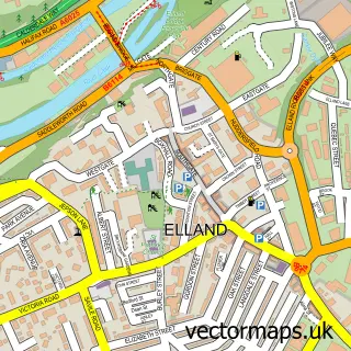
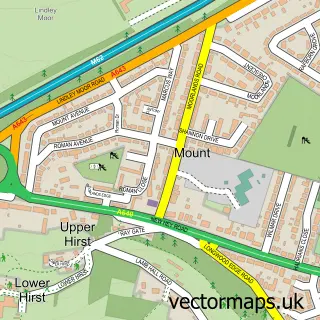
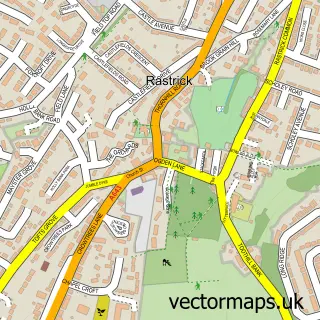
This Ainley Top street map is a detailed vector street map covering a 750m x 750m area. Select a larger area to create and download your own vector street map of Ainley Top.
The 750-metre map sample for Ainley Top covers 163 mapped buildings and approximately 21.8 km of road detail, of which 19 named roads are named. The immediate area includes 11 GP surgeries within 2 miles, 2 pubs and 16 MOT stations within 2 miles. The wider area around Ainley Top features 4 food and drink venues and 2 hotels. To create a larger or custom map of Ainley Top, the map builder lets you define your own coverage area and download editable SVG, PDF and PNG files.
Create a larger editable map of Ainley Top
Choose any area you need and generate a high-quality vector map instantly. Perfect for print, planning, design, business and personal use.

This Ainley Top street map in West Yorkshire is available as downloadable SVG, PDF and PNG map files, or as a printed map for planning, business, display, education, local information and design work. You can also create a larger custom map area using the map selector.
What this Ainley Top map sample shows
Ainley Top lies within Calderdale District (B) parish, part of Elland ward in the Calderdale District (B) local authority area. The postcode geography for this area includes the HX postcode area, the HX5 postcode district and the HX5 9 postcode sector. Residents fall under the Nhs West Yorkshire Integrated Care Board for NHS services.
Local features near Ainley Top
Within 2 milesAmenities and services in and around Ainley Top.
Administrative and postcode information for Ainley Top
Ainley Top lies within Calderdale District (B) parish, part of Elland ward in the Calderdale District (B) local authority area. The postcode geography for this area includes the HX postcode area, the HX5 postcode district and the HX5 9 postcode sector. Residents fall under the Nhs West Yorkshire Integrated Care Board for NHS services.
Nearby street map samples around Ainley Top

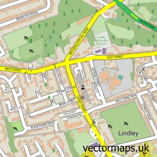
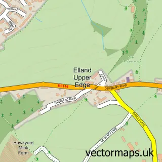
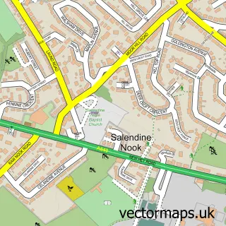
More street maps in West Yorkshire
750 metre map area coverage
Boundary, postcode and point of interest information for the 750m x 750m rectangle centred on this sample map.
Boundaries containing map centre
Constituency: Calder Valley Co Const
District: Calderdale District (B)
Icb: NHS West Yorkshire ICB
Police Force: west yorkshire
Postcode District: HD2
Postcode Sector: HD2 2
Ward: Elland Ward
Nearby boundaries intersecting sample
Constituency: Colne Valley Co Const
District: Kirklees District (B)
Postcode District: HD3, HX5
Postcode Sector: HD3 3, HX5 0, HX5 9
Ward: Lindley Ward
Postcode coverage
POI category counts
Business Management Services: 2
Hotel: 2
Pub: 2
Restaurant: 2
Sports Club And League: 2
Active Life: 1
Animal Shelter: 1
Beach: 1
Beverage Store: 1
British Restaurant: 1
Sample points of interest
- FITFLEX Gym Huddersfield
- Warren House Cattery
- Crosby Beach Liverpool
- A D I Communications
- Toby Carvery
- Elite Voyager
- Cedar Court Hotel
- Clarion Cedar Court Huddersfield Hotel
- Carsuppliers Limited
- OBL Aggregates
- Future Fitness
- Cedar Court Huddersfield
Create a larger editable map of Ainley Top
This sample shows only a 750 metre area. To create a larger map of Ainley Top, use our map builder to choose your own coverage area, add titles and download editable SVG, PDF and PNG files.
Create a custom map of Ainley Top