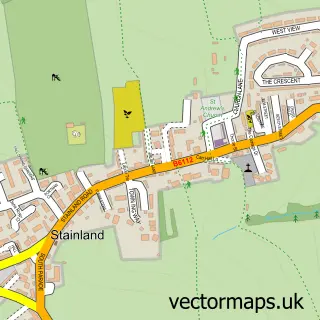
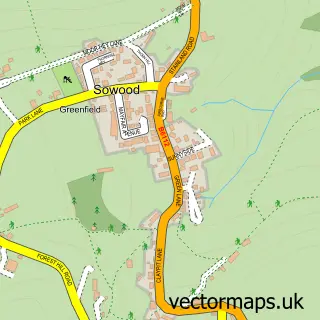
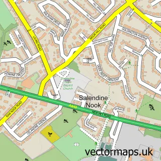
This Holywell Green street map is a detailed vector street map covering a 750m x 750m area. Select a larger area to create and download your own vector street map of Holywell Green.
The 750-metre map sample for Holywell Green covers 206 mapped buildings and approximately 11.7 km of road detail, of which 28 named roads are named. The immediate area includes 1 school, 4 GP surgeries within 2 miles, 1 pub and 11 MOT stations within 2 miles. The wider area around Holywell Green features 1 tourism point of interest, 1 food and drink venue and 1 campsite within 2 miles. To create a larger or custom map of Holywell Green, the map builder lets you define your own coverage area and download editable SVG, PDF and PNG files.
Create a larger editable map of Holywell Green
Choose any area you need and generate a high-quality vector map instantly. Perfect for print, planning, design, business and personal use.

This Holywell Green street map in West Yorkshire is available as downloadable SVG, PDF and PNG map files, or as a printed map for planning, business, display, education, local information and design work. You can also create a larger custom map area using the map selector.
What this Holywell Green map sample shows
Holywell Green lies within Stainland And District Cp parish, part of Greetland And Stainland ward in the Calderdale District (B) local authority area. The postcode geography for this area includes the HX postcode area, the HX4 postcode district and the HX4 9 postcode sector. Residents fall under the Nhs West Yorkshire Integrated Care Board for NHS services.
Local features near Holywell Green
Within 2 milesAmenities and services in and around Holywell Green.
Administrative and postcode information for Holywell Green
The local authority covering Holywell Green is Calderdale District (B), within the county of West Yorkshire. The settlement lies within Greetland And Stainland ward and Stainland And District Cp civil parish. The HX4 postcode district and HX4 9 postcode sector serve the immediate area. NHS provision in the area is delivered through Calderdale And Huddersfield Nhs Foundation Trust.
Nearby street map samples around Holywell Green
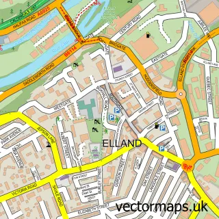

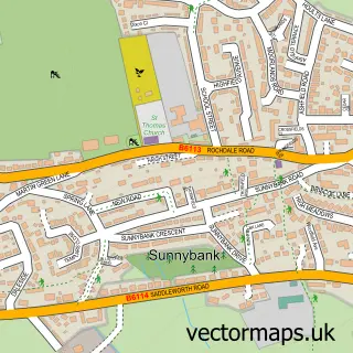
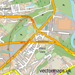
More street maps in West Yorkshire
750 metre map area coverage
Boundary, postcode and point of interest information for the 750m x 750m rectangle centred on this sample map.
Boundaries containing map centre
Constituency: Calder Valley Co Const
District: Calderdale District (B)
Icb: NHS West Yorkshire ICB
Parish: Stainland and District CP
Police Force: west yorkshire
Postcode District: HX4
Postcode Sector: HX4 9
Ward: Greetland and Stainland Ward
Nearby boundaries intersecting sample
Postcode Sector: HX4 8
Ward: Elland Ward
Postcode coverage
POI category counts
Marketing Consultant: 3
Professional Services: 3
Automotive Repair: 2
Bicycle Shop: 2
Business Management Services: 2
Butcher Shop: 2
Convenience Store: 2
Home Goods Store: 2
Mobile Home Dealer: 2
Antique Store: 1
Sample points of interest
- Barnyard Antiques
- Holywell Inn
- Lambert Street Garage
- Pennine 4x4
- Quality Spares Central
- Tina Petty - Bloome
- Orange Bikes
- Orange Mountain Bikes
- KangenWell Water
- Haven Building & Maintenance Ltd.
- Holywell Green Post Office
- Post Office-Holywell Green
Create a larger editable map of Holywell Green
This sample shows only a 750 metre area. To create a larger map of Holywell Green, use our map builder to choose your own coverage area, add titles and download editable SVG, PDF and PNG files.
Create a custom map of Holywell Green