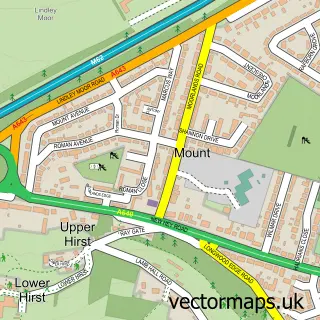
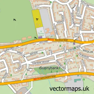
This Sowood street map is a detailed vector street map covering a 750m x 750m area. Select a larger area to create and download your own vector street map of Sowood.
The 750-metre map sample for Sowood covers 156 mapped buildings and approximately 7.8 km of road detail, of which 14 named roads are named. The immediate area includes 3 GP surgeries within 2 miles and 4 MOT stations within 2 miles. The wider area around Sowood features 1 campsite within 2 miles. To create a larger or custom map of Sowood, the map builder lets you define your own coverage area and download editable SVG, PDF and PNG files.
Create a larger editable map of Sowood
Choose any area you need and generate a high-quality vector map instantly. Perfect for print, planning, design, business and personal use.

This Sowood street map in West Yorkshire is available as downloadable SVG, PDF and PNG map files, or as a printed map for planning, business, display, education, local information and design work. You can also create a larger custom map area using the map selector.
What this Sowood map sample shows
Sowood lies within Kirklees District (B) parish, part of Colne Valley ward in the Kirklees District (B) local authority area. The postcode geography for this area includes the HD postcode area, the HD3 postcode district and the HD3 3 postcode sector. Residents fall under the Nhs West Yorkshire Integrated Care Board for NHS services.
Local features near Sowood
Within 2 milesAmenities and services in and around Sowood.
Administrative and postcode information for Sowood
The local authority covering Sowood is Kirklees District (B), within the county of West Yorkshire. The settlement lies within Colne Valley ward and Kirklees District (B) civil parish. The HD3 postcode district and HD3 3 postcode sector serve the immediate area. NHS provision in the area is delivered through Calderdale And Huddersfield Nhs Foundation Trust.
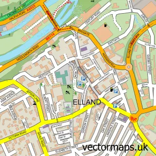
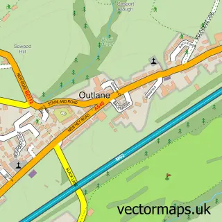
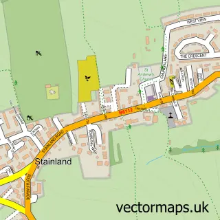
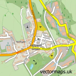
Nearby street map samples around Sowood

More street maps in West Yorkshire
750 metre map area coverage
Boundary, postcode and point of interest information for the 750m x 750m rectangle centred on this sample map.
Boundaries containing map centre
Constituency: Calder Valley Co Const
District: Calderdale District (B)
Icb: NHS West Yorkshire ICB
Parish: Stainland and District CP
Police Force: west yorkshire
Postcode District: HX4
Postcode Sector: HX4 9
Ward: Greetland and Stainland Ward
Nearby boundaries intersecting sample
Postcode District: HD3
Postcode Sector: HD3 3
Postcode coverage
POI category counts
Community Center: 2
Auto Loan Provider: 1
Corporate Office: 1
Dog Trainer: 1
Equestrian Facility: 1
Food Delivery Service: 1
Home Service: 1
Landscape Architect: 1
Pet Boarding: 1
Preschool: 1
Sample points of interest
- Mortgage Partnership
- Sowood Community Centre
- Sowood, West Yorkshire
- Celos Wines
- Social Behaviour Dog Training
- Lea Hill Equestrian Centre
- Sutcliffes Transport
- Hebble Harlequins at Siddal School
- Sowood Land Management
- Sowood Cattery
- Sowood Community Centre
- Marmalade Dental Ltd
Create a larger editable map of Sowood
This sample shows only a 750 metre area. To create a larger map of Sowood, use our map builder to choose your own coverage area, add titles and download editable SVG, PDF and PNG files.
Create a custom map of Sowood