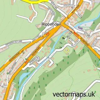
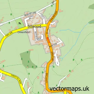
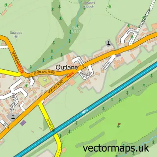
This Barkisland street map is a detailed vector street map covering a 750m x 750m area. Select a larger area to create and download your own vector street map of Barkisland.
The 750-metre map sample for Barkisland covers 221 mapped buildings and approximately 11.2 km of road detail, of which 10 named roads are named. The immediate area includes 1 school, 1 GP surgery within 2 miles, 2 pubs and 2 MOT stations within 2 miles. The wider area around Barkisland features 2 food and drink venues and 1 campsite within 2 miles. To create a larger or custom map of Barkisland, the map builder lets you define your own coverage area and download editable SVG, PDF and PNG files.
Create a larger editable map of Barkisland
Choose any area you need and generate a high-quality vector map instantly. Perfect for print, planning, design, business and personal use.

This Barkisland street map in West Yorkshire is available as downloadable SVG, PDF and PNG map files, or as a printed map for planning, business, display, education, local information and design work. You can also create a larger custom map area using the map selector.
What this Barkisland map sample shows
Barkisland lies within Ripponden Cp parish, part of Ryburn ward in the Calderdale District (B) local authority area. The postcode geography for this area includes the HX postcode area, the HX4 postcode district and the HX4 0 postcode sector. Residents fall under the Nhs West Yorkshire Integrated Care Board for NHS services.
Local features near Barkisland
Within 2 milesAmenities and services in and around Barkisland.
Administrative and postcode information for Barkisland
The local authority covering Barkisland is Calderdale District (B), within the county of West Yorkshire. The settlement lies within Ryburn ward and Ripponden Cp civil parish. The HX4 postcode district and HX4 0 postcode sector serve the immediate area. NHS provision in the area is delivered through Calderdale And Huddersfield Nhs Foundation Trust.
Nearby street map samples around Barkisland

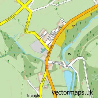
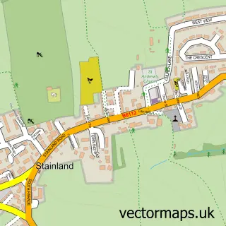
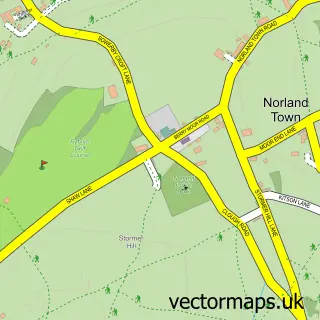
More street maps in West Yorkshire
750 metre map area coverage
Boundary, postcode and point of interest information for the 750m x 750m rectangle centred on this sample map.
Boundaries containing map centre
Constituency: Calder Valley Co Const
District: Calderdale District (B)
Icb: NHS West Yorkshire ICB
Parish: Ripponden CP
Police Force: west yorkshire
Postcode District: HX4
Postcode Sector: HX4 0
Ward: Ryburn Ward
Nearby boundaries intersecting sample
No additional intersecting boundaries found.
Postcode coverage
POI category counts
Advertising Agency: 2
Pub: 2
Building Supply Store: 1
Business Consulting: 1
Church Cathedral: 1
Construction Services: 1
Cricket Ground: 1
Driving School: 1
Education: 1
Elementary School: 1
Sample points of interest
- Arctic Media
- Discourse
- MHE Halifax
- Westfield Consultancy Services
- Christ Church Barkisland
- Steve Moore Construction
- Barkisland Cricket Club
- RPT Driver Training
- School of Thought 2000
- Barkisland C.E. School
- AMK Business Consulting
- Woodland Pine
Create a larger editable map of Barkisland
This sample shows only a 750 metre area. To create a larger map of Barkisland, use our map builder to choose your own coverage area, add titles and download editable SVG, PDF and PNG files.
Create a custom map of Barkisland