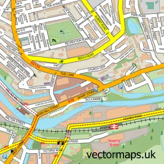
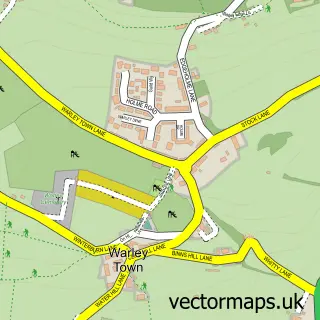
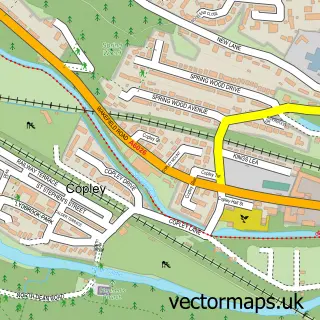
This Triangle street map is a detailed vector street map covering a 750m x 750m area. Select a larger area to create and download your own vector street map of Triangle.
The 750-metre map sample for Triangle covers 72 mapped buildings and approximately 11.4 km of road detail, of which 14 named roads are named. The immediate area includes 1 school, 2 GP surgeries within 2 miles and 7 MOT stations within 2 miles. The wider area around Triangle features 1 tourism point of interest and 1 campsite within 2 miles. To create a larger or custom map of Triangle, the map builder lets you define your own coverage area and download editable SVG, PDF and PNG files.
Create a larger editable map of Triangle
Choose any area you need and generate a high-quality vector map instantly. Perfect for print, planning, design, business and personal use.

This Triangle street map in West Yorkshire is available as downloadable SVG, PDF and PNG map files, or as a printed map for planning, business, display, education, local information and design work. You can also create a larger custom map area using the map selector.
What this Triangle map sample shows
Triangle lies within Calderdale District (B) parish, part of Ryburn ward in the Calderdale District (B) local authority area. The postcode geography for this area includes the HX postcode area, the HX6 postcode district and the HX6 3 postcode sector. Residents fall under the Nhs West Yorkshire Integrated Care Board for NHS services.
Local features near Triangle
Within 2 milesAmenities and services in and around Triangle.
Administrative and postcode information for Triangle
Triangle lies within Calderdale District (B) parish, part of Ryburn ward in the Calderdale District (B) local authority area. The postcode geography for this area includes the HX postcode area, the HX6 postcode district and the HX6 3 postcode sector. Residents fall under the Nhs West Yorkshire Integrated Care Board for NHS services.
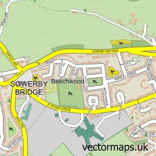
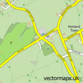
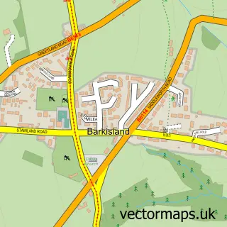
Nearby street map samples around Triangle

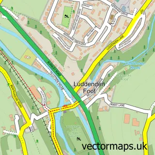
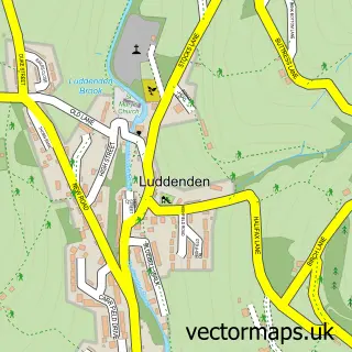
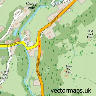
More street maps in West Yorkshire
750 metre map area coverage
Boundary, postcode and point of interest information for the 750m x 750m rectangle centred on this sample map.
Boundaries containing map centre
Constituency: Halifax Boro Const
District: Calderdale District (B)
Icb: NHS West Yorkshire ICB
Police Force: west yorkshire
Postcode District: HX6
Postcode Sector: HX6 3
Ward: Ryburn Ward
Nearby boundaries intersecting sample
Constituency: Calder Valley Co Const
Postcode Sector: HX6 1
Postcode coverage
POI category counts
Post Office: 2
Accountant: 1
Active Life: 1
Art Gallery: 1
Automotive Repair: 1
Campground: 1
Carpenter: 1
Child Care And Day Care: 1
Elementary School: 1
Fireplace Service: 1
Sample points of interest
- Triangle Tax & Accountancy Services
- The Rotary Club of Sowerby Bridge
- Freda Davies
- Stansfield Garage
- Rough Hey Wood Camp Site
- Bradmill Joiners & Carpenters
- Triangle Pre-School
- Triangle C of E Primary School
- Stoveglass Direct
- Triangle House Day Nursery
- Post Office-Triangle
- Triangle Post Office
Create a larger editable map of Triangle
This sample shows only a 750 metre area. To create a larger map of Triangle, use our map builder to choose your own coverage area, add titles and download editable SVG, PDF and PNG files.
Create a custom map of Triangle