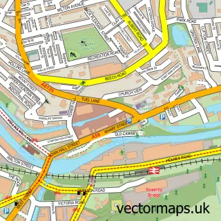
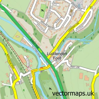
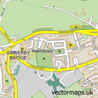
This Luddenden street map is a detailed vector street map covering a 750m x 750m area. Select a larger area to create and download your own vector street map of Luddenden.
The 750-metre map sample for Luddenden covers 163 mapped buildings and approximately 15.2 km of road detail, of which 25 named roads are named. The immediate area includes 3 GP surgeries within 2 miles, 2 pubs and 9 MOT stations within 2 miles. The wider area around Luddenden features 1 tourism point of interest and 2 food and drink venues. To create a larger or custom map of Luddenden, the map builder lets you define your own coverage area and download editable SVG, PDF and PNG files.
Create a larger editable map of Luddenden
Choose any area you need and generate a high-quality vector map instantly. Perfect for print, planning, design, business and personal use.

This Luddenden street map in West Yorkshire is available as downloadable SVG, PDF and PNG map files, or as a printed map for planning, business, display, education, local information and design work. You can also create a larger custom map area using the map selector.
What this Luddenden map sample shows
Luddenden lies within Calderdale District (B) parish, part of Luddendenfoot ward in the Calderdale District (B) local authority area. The postcode geography for this area includes the HX postcode area, the HX2 postcode district and the HX2 6 postcode sector. Residents fall under the Nhs West Yorkshire Integrated Care Board for NHS services.
Local features near Luddenden
Within 2 milesAmenities and services in and around Luddenden.
Administrative and postcode information for Luddenden
The local authority covering Luddenden is Calderdale District (B), within the county of West Yorkshire. The settlement lies within Luddendenfoot ward and Calderdale District (B) civil parish. The HX2 postcode district and HX2 6 postcode sector serve the immediate area. NHS provision in the area is delivered through Calderdale And Huddersfield Nhs Foundation Trust.
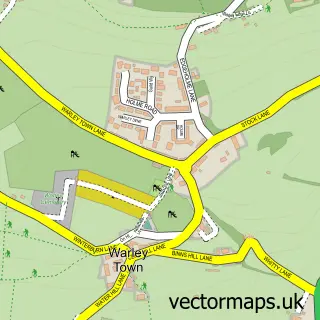
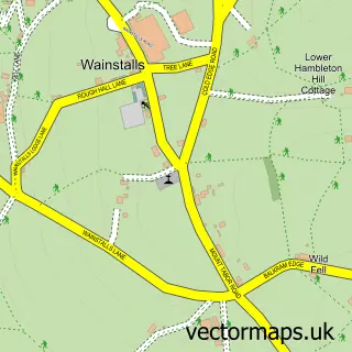
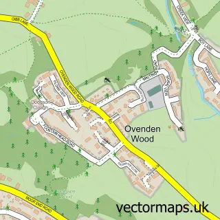
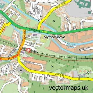
Nearby street map samples around Luddenden

More street maps in West Yorkshire
750 metre map area coverage
Boundary, postcode and point of interest information for the 750m x 750m rectangle centred on this sample map.
Boundaries containing map centre
Constituency: Calder Valley Co Const
District: Calderdale District (B)
Icb: NHS West Yorkshire ICB
Police Force: west yorkshire
Postcode District: HX2
Postcode Sector: HX2 6
Ward: Luddendenfoot Ward
Nearby boundaries intersecting sample
Constituency: Halifax Boro Const
Ward: Warley Ward
Postcode coverage
POI category counts
Pub: 2
Anglican Church: 1
Bank Credit Union: 1
Church Cathedral: 1
Gardener: 1
Marketing Agency: 1
Park: 1
Plumbing: 1
Roofing: 1
Winery: 1
Sample points of interest
- St Mary's
- Yorkshire Bank
- St Mary's Church
- The Luddenden Gardener
- Big Funky Media
- Luddendenfoot village park
- Parking Ventilation Equipment
- Lord Nelson Inn Luddenden Village
- The Lord Nelson
- C M Garlick Roofing Services
- Luddenden Valley Wines
Create a larger editable map of Luddenden
This sample shows only a 750 metre area. To create a larger map of Luddenden, use our map builder to choose your own coverage area, add titles and download editable SVG, PDF and PNG files.
Create a custom map of Luddenden