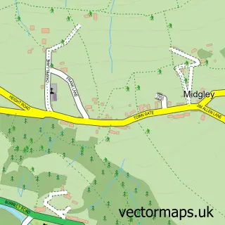
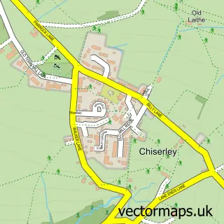
This Wainstalls street map is a detailed vector street map covering a 750m x 750m area. Select a larger area to create and download your own vector street map of Wainstalls.
The 750-metre map sample for Wainstalls covers 79 mapped buildings and approximately 9.5 km of road detail, of which 11 named roads are named. The immediate area includes 1 school, 1 GP surgery within 2 miles and 2 MOT stations within 2 miles. To create a larger or custom map of Wainstalls, the map builder lets you define your own coverage area and download editable SVG, PDF and PNG files.
Create a larger editable map of Wainstalls
Choose any area you need and generate a high-quality vector map instantly. Perfect for print, planning, design, business and personal use.

This Wainstalls street map in West Yorkshire is available as downloadable SVG, PDF and PNG map files, or as a printed map for planning, business, display, education, local information and design work. You can also create a larger custom map area using the map selector.
What this Wainstalls map sample shows
Wainstalls lies within Calderdale District (B) parish, part of Luddendenfoot ward in the Calderdale District (B) local authority area. The postcode geography for this area includes the HX postcode area, the HX2 postcode district and the HX2 7 postcode sector. Residents fall under the Nhs West Yorkshire Integrated Care Board for NHS services.
Local features near Wainstalls
Within 2 milesAmenities and services in and around Wainstalls.
Administrative and postcode information for Wainstalls
The local authority covering Wainstalls is Calderdale District (B), within the county of West Yorkshire. The settlement lies within Luddendenfoot ward and Calderdale District (B) civil parish. The HX2 postcode district and HX2 7 postcode sector serve the immediate area. NHS provision in the area is delivered through Calderdale And Huddersfield Nhs Foundation Trust.
Nearby street map samples around Wainstalls
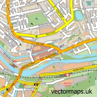

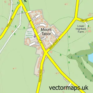
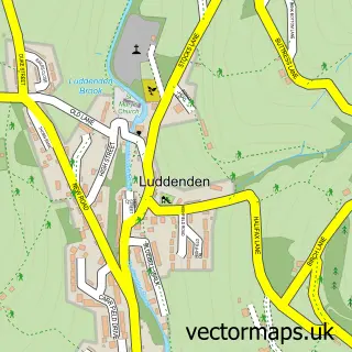
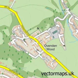
More street maps in West Yorkshire
750 metre map area coverage
Boundary, postcode and point of interest information for the 750m x 750m rectangle centred on this sample map.
Boundaries containing map centre
Constituency: Calder Valley Co Const
District: Calderdale District (B)
Icb: NHS West Yorkshire ICB
Police Force: west yorkshire
Postcode District: HX2
Postcode Sector: HX2 7
Ward: Luddendenfoot Ward
Nearby boundaries intersecting sample
Constituency: Halifax Boro Const
Postcode Sector: HX2 0, HX2 6, HX2 8
Ward: Illingworth and Mixenden Ward, Warley Ward
Postcode coverage
POI category counts
Professional Services: 2
Bed And Breakfast: 1
Electrician: 1
Elementary School: 1
Hvac Services: 1
Industrial Equipment: 1
Martial Arts Club: 1
Playground: 1
Post Office: 1
Retail: 1
Sample points of interest
- The Crossroads Inn
- Complete Electrical Services
- Wainstalls School
- RadiWarm
- Heights (UK) Ltd.
- Tai Chi Tigers
- The Spinning Top
- Post Office
- MSA Engineering Systems
- The Shutter Mill
- Vintage Sofa Co. Ltd. Distribution Centre
- Post Office-Wainstalls SAS
Create a larger editable map of Wainstalls
This sample shows only a 750 metre area. To create a larger map of Wainstalls, use our map builder to choose your own coverage area, add titles and download editable SVG, PDF and PNG files.
Create a custom map of Wainstalls