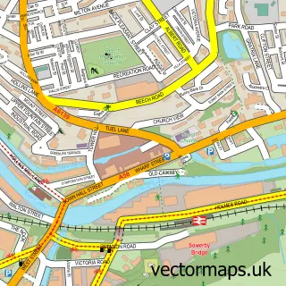
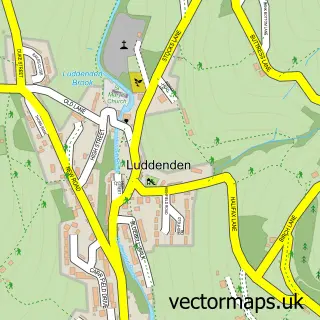
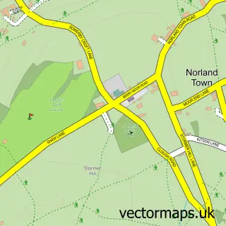
This Fountainhead street map is a detailed vector street map covering a 750m x 750m area. Select a larger area to create and download your own vector street map of Fountainhead.
The 750-metre map sample for Fountainhead covers 224 mapped buildings and approximately 9.0 km of road detail, of which 20 named roads are named. The immediate area includes 8 GP surgeries within 2 miles and 34 MOT stations within 2 miles. The wider area around Fountainhead features 1 food and drink venue. To create a larger or custom map of Fountainhead, the map builder lets you define your own coverage area and download editable SVG, PDF and PNG files.
Create a larger editable map of Fountainhead
Choose any area you need and generate a high-quality vector map instantly. Perfect for print, planning, design, business and personal use.

This Fountainhead street map in West Yorkshire is available as downloadable SVG, PDF and PNG map files, or as a printed map for planning, business, display, education, local information and design work. You can also create a larger custom map area using the map selector.
What this Fountainhead map sample shows
Fountainhead lies within Calderdale District (B) parish, part of Warley ward in the Calderdale District (B) local authority area. The postcode geography for this area includes the HX postcode area, the HX2 postcode district and the HX2 0 postcode sector. Residents fall under the Nhs West Yorkshire Integrated Care Board for NHS services.
Local features near Fountainhead
Within 2 milesAmenities and services in and around Fountainhead.
Administrative and postcode information for Fountainhead
The local authority covering Fountainhead is Calderdale District (B), within the county of West Yorkshire. The settlement lies within Warley ward and Calderdale District (B) civil parish. The HX2 postcode district and HX2 0 postcode sector serve the immediate area. NHS provision in the area is delivered through Calderdale And Huddersfield Nhs Foundation Trust.
Nearby street map samples around Fountainhead

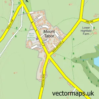
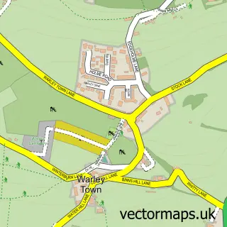
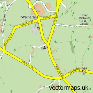
More street maps in West Yorkshire
750 metre map area coverage
Boundary, postcode and point of interest information for the 750m x 750m rectangle centred on this sample map.
Boundaries containing map centre
Constituency: Halifax Boro Const
District: Calderdale District (B)
Icb: NHS West Yorkshire ICB
Police Force: west yorkshire
Postcode District: HX2
Postcode Sector: HX2 0
Ward: Warley Ward
Nearby boundaries intersecting sample
Postcode District: HX3
Postcode Sector: HX3 5
Ward: Ovenden Ward
Postcode coverage
POI category counts
Bar: 1
Bookstore: 1
Car Wash: 1
College University: 1
Computer Store: 1
Educational Services: 1
Freight And Cargo Service: 1
Language School: 1
Occupational Safety: 1
Physical Therapy: 1
Sample points of interest
- Whittakers Bar & Cafe
- Purple Book House UK
- Calderdale Waterless Mobile Valeting
- The Maltings College
- John Watson Computer Service
- White Rose Education
- A1 Uk & European Couriers
- Spanish Tuition
- Boss Training Ltd
- Positive-Physio
- Fountain Springs Nursery
- Halifax Scaffolding Services
Create a larger editable map of Fountainhead
This sample shows only a 750 metre area. To create a larger map of Fountainhead, use our map builder to choose your own coverage area, add titles and download editable SVG, PDF and PNG files.
Create a custom map of Fountainhead